Access to the English Coast The England Coast Path Gosport to - - PowerPoint PPT Presentation

access to the english coast
SMART_READER_LITE
LIVE PREVIEW

Access to the English Coast The England Coast Path Gosport to - - PowerPoint PPT Presentation

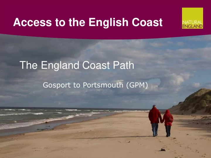
Access to the English Coast The England Coast Path Gosport to Portsmouth (GPM) What will the coast path bring Secure, continuous, clearly way-marked, well managed route National Trail brand and funding Tourists with spending money,


slide-1
SLIDE 1

Access to the English Coast

Gosport to Portsmouth (GPM)

The England Coast Path

slide-2
SLIDE 2

What will the coast path bring…

  • Secure, continuous, clearly way-marked, well managed route
  • National Trail brand and funding
  • Tourists with spending money, International draw
  • Reconnecting people with their local coast
  • New management of some sites/routes
  • A unique and straightforward way to deal with coastal change

(roll back)

  • The longest continuous coast path in the world
slide-3
SLIDE 3

So what is the England Coast Path?

  • The Marine and Coastal Access Act 2009, establishes the

coastal access duty - to create;

  • a long-distance walking route around the English coast,

and

  • the coastal margin, land beside it, which should be

accessible to the public on foot.

  • In discharging this duty we follow statutory guidance – the

Coastal Access Scheme.

  • Sets out an approach and ensures that a balance is struck

between the interests of those who own the land and the public in having new access rights over the land.

  • It also enables us to respond to coastal change (‘roll back’)

and ensures protection of the natural environment.

slide-4
SLIDE 4

Where we are delivering - locally

slide-5
SLIDE 5

www.naturalengland.org.uk

slide-6
SLIDE 6

Principles of alignment

  • First we align the route of the trail in consultation with
  • wners and occupiers of affected land, identifying the

least restrictive option necessary to achieve suitable

  • utcome

– Adopt an existing PRoW or promoted route – Adopt a permissive or de-facto walked line – Create a fresh ‘line’

  • Everything seaward of that line becomes spreading

room, bar ‘excepted land’

slide-7
SLIDE 7

Excepted land categories

Excepted in full

  • buildings, their curtilage, parks and gardens:
  • land used for the purposes of a railway, racecourse or aerodrome;
  • land used for statutory undertaking, although not flood defences;
  • school playing field or associated land;
  • land in use for mineral extraction;
  • MOD land subject to byelaw; and
  • land which is, or forms part of, a highway.

Excepted, but legislation allows for a route (only) to be proposed:

  • arable land;
  • golf course;
  • a regulated caravan or camping site; and
  • burial grounds.
slide-8
SLIDE 8

Roll back – repositioning the trail due to coastal processes

slide-9
SLIDE 9

Balancing public & private interests

Public interest

  • Proximity of the trail to

the sea

  • Views of the sea from the

trail

  • Safety and convenience
  • Continuity of the trail

Private interest

  • Operational needs
  • Income
  • Privacy
  • Changes of use
  • Enjoyment and protection of the natural environment
  • Responsiveness to coastal change – ‘roll back’
slide-10
SLIDE 10

Access and Sensitive Features Appraisal

  • Developed an Access and Sensitive Features Appraisal (ASFA),

incorporates Habs Regs Assessment (HRA), extended to SSSI and EPS

  • Ensures consistency of approach and compliance with all legal

requirements

  • Iterative approach to developing proposals…
  • identifying sensitive features and locations e.g. roost sites
  • Identifying existing use (patterns/frequency) and management on

sites

  • identify avoidance measures (trail location)
  • mitigation and management as necessary and to the level that’s

necessary – least restrictive option

  • ‘Access & Nature Conservation Review Panel’ to give advice for

controversial cases

slide-11
SLIDE 11

Some available management measures…

Least Restrictive Most Restrictive

  • Trail location
  • Signing, waymarks and guide posts
  • Mown surfaces
  • Interpretation boards
  • Natural barriers – vegetation, screening inc.

temporary fencing

  • Guide fencing or permanent fencing
  • Direction to restrict access, temporary, seasonal,

area based e.g. dogs on leads between dates

  • Direction to exclude access, temporary or

permanent, area based

slide-12
SLIDE 12

Management and Maintenance

  • Natural England will work on the proposals with the Access

Authority and other key stakeholders.

– Will have MOA in place with Access Authorities asap. – Can delegate to NPA or other body – offer/ask

  • Once the ECP has been established, responsibility for its

maintenance sits with the Access Authority who will be required to: – Deliver a well maintained trail – Undertake a survey not less than every 3 years and report on the condition of the route and any issues over its alignment. – Fulfil specific grant conditions for reporting and claiming. – Fulfil the National Trail and ECP quality standards. – Demonstrate match funding at a minimum agreed ratio (local contribution: NE contribution).

slide-13
SLIDE 13

Reduced liability and future management

  • Areas of land covered by the trail and/or spreading room attract

reduced occupier liability

  • Landowner cannot be sued for accidents involving natural or man

made features on land covered by coastal access rights

  • The Access Authority is responsible for the ongoing management of

the England Coast Path National Trail. – National Trails funding available to assist.

slide-14
SLIDE 14

Developing the Coast Path