SLIDE 1
Page: 1 Cummens
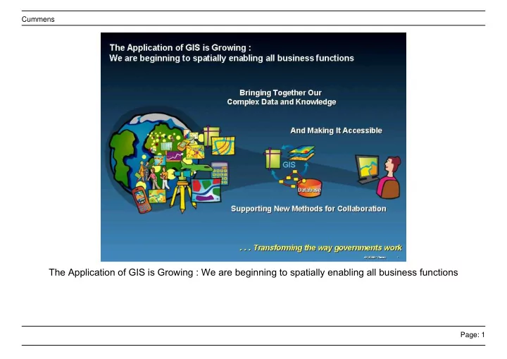
The Application of GIS is Growing : We are beginning to spatially enabling all business functions
SLIDE 2
Page: 2 Cummens
GIS Is Particularly Valuable For Managing Complex Events – Problem Solving
SLIDE 3
Page: 3 Cummens
GIS Implementations Follow Common Patterns
SLIDE 4
Page: 4 Cummens
The Web Provides a New Pattern for Implementing GIS Becoming a New Platform
SLIDE 5
Page: 5 Cummens
Individual GIS Systems And Geo-Services Will Be Connected into a Distributed System of Systems . . ...
SLIDE 6
Page: 6 Cummens
Soon We’ll Be Fusing Everything Providing New Possibilities for Sharing, Integrating and Using
SLIDE 7
Page: 7 Cummens
Enabling Technology
SLIDE 8
Page: 8 Cummens
GIS Can Be Implemented In a Services Oriented Architecture Providing A Framework For Integration
SLIDE 9
Page: 9 Cummens
GIS Services Can Be Federated Using Web Services and Services-Oriented Architecture (SOA)
SLIDE 10
Page: 10 Cummens
GIS Servers Provide the Foundation Serving Geospatial Knowledge – not just Maps
SLIDE 11
Page: 11 Cummens
GIS Viewers Provide Access For Simple, Fast, And Free Tasking And Viewing. . .
SLIDE 12
Page: 12 Cummens
Growing demand for GIS solutions for the Mobile Work Force
SLIDE 13
Page: 13 Cummens
Rapid Access to Imagery New tools for Managing, Analyzing, and Visualizing Imagery
SLIDE 14
Page: 14 Cummens
New options for Commercial on-line GIS services & Hosting (focus on core business)
SLIDE 15
Page: 15 Cummens
3D Analysis & Visualization Authoring, Analyzing & Viewing 3D Data
SLIDE 16
Page: 16 Cummens
ArcGIS Server is Open & Interoperable Using Standards to Integrate with Any System
SLIDE 17
Page: 17 Cummens
Examples of Collaboration: Transformational Applications
SLIDE 18
Page: 18 Cummens
MAST Model for Collaboration
SLIDE 19
Page: 19 Cummens
Slide 19
SLIDE 20
Page: 20 Cummens
Slide 20
SLIDE 21
Page: 21 Cummens
DISCOVERIES Advanced Emergency GIS (AEGIS)
SLIDE 22
Page: 22 Cummens
Slide 22
SLIDE 23
Page: 23 Cummens
Slide 23
SLIDE 24
Page: 24 Cummens
Slide 24
SLIDE 25
Page: 25 Cummens
Slide 25
SLIDE 26
Page: 26 Cummens
GIS Was Used Extensively in Response to Hurricane Damage Assessment
SLIDE 27
Page: 27 Cummens
A New Interoperability Process Was Used Integrating And Disseminating Existing Local, State And Fed...
SLIDE 28
Page: 28 Cummens
Emerging Geospatial Community Vision