
SLIDE 1
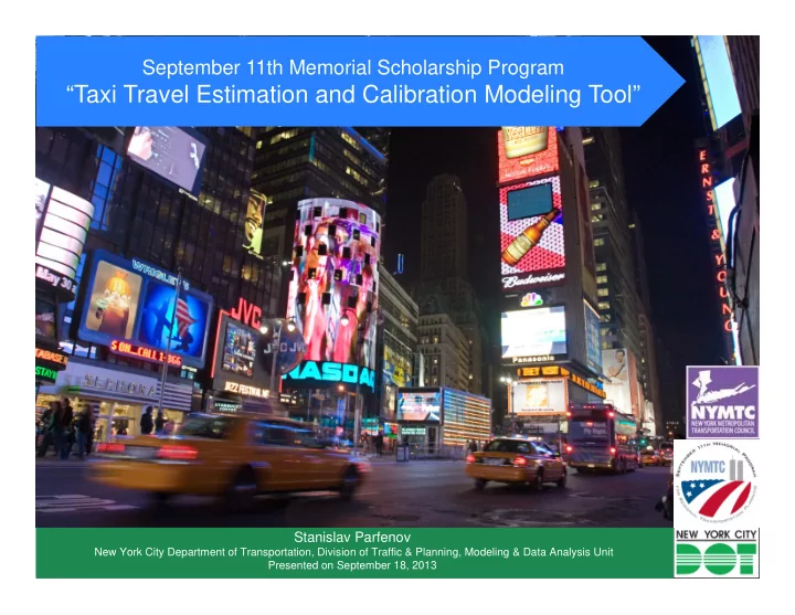
September 11th Memorial Scholarship Program
“Taxi Travel Estimation and Calibration Modeling Tool”
Stanislav Parfenov
New York City Department of Transportation, Division of Traffic & Planning, Modeling & Data Analysis Unit Presented on September 18, 2013