
SLIDE 1
Strabo: A Complete System for Label Recognition in Maps
University of Southern California
Yao-Yi Chiang and Craig Knoblock
Spatial Sciences Institute and Information Sciences Institute
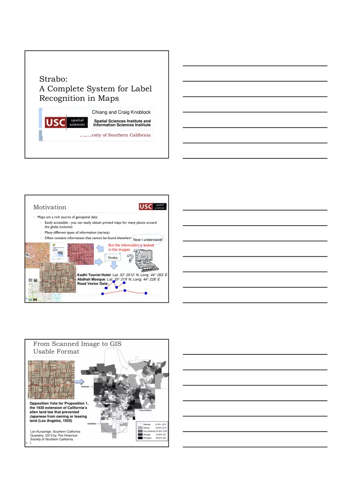
Maps are a rich source of geospatial data: Easily accessible - you can easily obtain printed maps for many places around
the globe (volume)
Many different types of information (variety) Often contains information that cannot be found elsewhere (historical maps)
Motivation
1
Strabo Kadhi Tourist Hotel: Lat: 33° 2012’ N, Long: 44° 263’ E Abdhali Mosque: Lat: 33° 219’ N, Long: 44° 228’ E Road Vector Data: Now I understand! But the information is locked in the images
2
From Scanned Image to GIS Usable Format
Opposition Vote for Proposition 1, the 1920 extension of California’s alien land law that prevented Japanese from owning or leasing land (Los Angeles, 1920)
Lon Kurashige, Southern California Quarterly, 2013 by The Historical Society of Southern California.