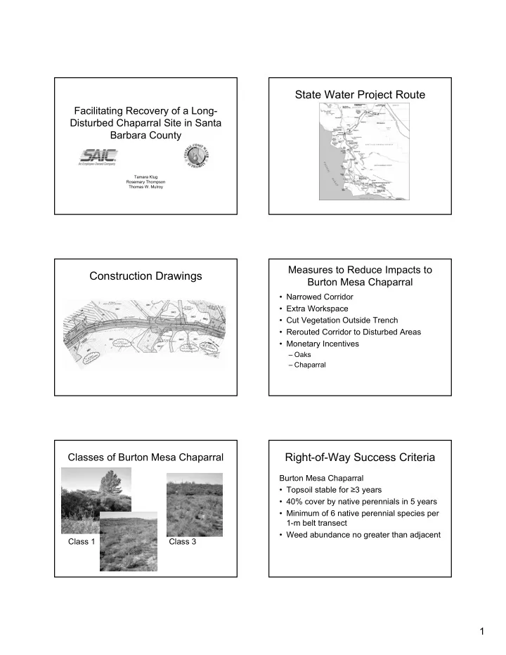
State Water Project Route Facilitating Recovery of a Long- - - PDF document

state water project route
SMART_READER_LITE
LIVE PREVIEW

State Water Project Route Facilitating Recovery of a Long- - - PDF document

State Water Project Route Facilitating Recovery of a Long- Disturbed Chaparral Site in Santa Barbara County Tamara Klug Rosemary Thompson Thomas W. Mulroy Measures to Reduce Impacts to Construction Drawings Burton Mesa Chaparral


slide-1
SLIDE 1

1 Facilitating Recovery of a Long- Disturbed Chaparral Site in Santa Barbara County

Tamara Klug Rosemary Thompson Thomas W. Mulroy

State Water Project Route Construction Drawings

Measures to Reduce Impacts to Burton Mesa Chaparral

  • Narrowed Corridor
  • Extra Workspace
  • Cut Vegetation Outside Trench
  • Rerouted Corridor to Disturbed Areas
  • Monetary Incentives

– Oaks – Chaparral

Classes of Burton Mesa Chaparral

Class 1 Class 3

Right-of-Way Success Criteria

Burton Mesa Chaparral

  • Topsoil stable for ≥3 years
  • 40% cover by native perennials in 5 years
  • Minimum of 6 native perennial species per

1-m belt transect

  • Weed abundance no greater than adjacent
slide-2
SLIDE 2

2

Right-of-Way Success Criteria

Oaks in Burton Mesa Chaparral

  • Minimum 1 inch basal

diameter

  • Minimum 3 feet tall
  • Vigorous appearance
  • 3 years with no irrigation

+ 2 years with no herbivore protection

Right-of-Way Success Criteria

Sand Mesa Manzanita

  • Minimum 4 years

survival

  • 3 years with no

irrigation + 2 years with no protection

  • Normal form and

morphology with vigorous condition

Burton Mesa Mitigation Site

Overview photograph taken in March 1997

Goal

To initiate and facilitate the recovery 25 acres of non-native annual grassland to habitat dominated by native woody vegetation typical of Burton Mesa

Site in 1938 Site in 1956

slide-3
SLIDE 3

3

Site in 1995 Challenges Mitigation Plan

  • Fencing
  • Burn
  • Seeding
  • Container plants
  • Bird perches
  • Irrigation
  • Planting plan
  • Experimental

approach

  • Planting methods
  • Sampling plan
  • Reference area

(control)

  • Target area

Fence Design Burn

  • Photo of burn

Seeding

7.1 Total 0.2 Black sage (Salvia mellifera) 0.3 Bush monkeyflower (Mimulus aurantiacus) 1 Dune lupine (Lupinus chamissonis) 0.4 Deerweed (Lotus scoparius) 2.5 California buckwheat (Eriogonum fasciculatum) 0.7 Mock heather (Ericameria ericoides) 0.5 Mountain mahogany (Cercocarpus betuloides) 2 California sagebrush (Artemisia californica) per acre Common name (Scientific name) lb. Species

Table 2. Seed Mix

slide-4
SLIDE 4

4

Bird Perches Layout of Enclaves Species planted in Enclaves

  • Chamise (Adenostoma fasciculatum)
  • Purisima manzanita (Arctostaphylos

purissima)

  • Coast ceanothus (Ceanothus

cuneatus var. fascicularis)

  • Coast live oak (Quercus agrifolia)
  • Coffeeberry (Rhamnus californica)
  • Redberry (Rhamnus crocea)
  • Black sage (Salvia mellifera)
  • Sand almond (Prunus fasciculata
  • var. punctata)

Devices used to Protect Plantings

Burton Mesa Mitigation Site

Overview photograph taken in April 2000

Survival of Plantings with Different Protective Devices

slide-5
SLIDE 5

5 Height of Plantings with Different Protective Devices Height of plantings under existing Shrubs Impacts of Deer Browse on Coffeeberry

Photographs taken in October 2003

Site in 2004 BMMS Site

Photographs taken in March 2003 Reference area Mitigation Site

Lessons Learned

  • Nursery
  • Durability of protection devices
  • Total cost and funding
  • Quality of supplies
  • Repair costs
  • Timelines for success
  • Coordination with regulators