
SLIDE 1
STATE HIGHWAY 32 Public Meeting Presented by: The Oklahoma - - PowerPoint PPT Presentation
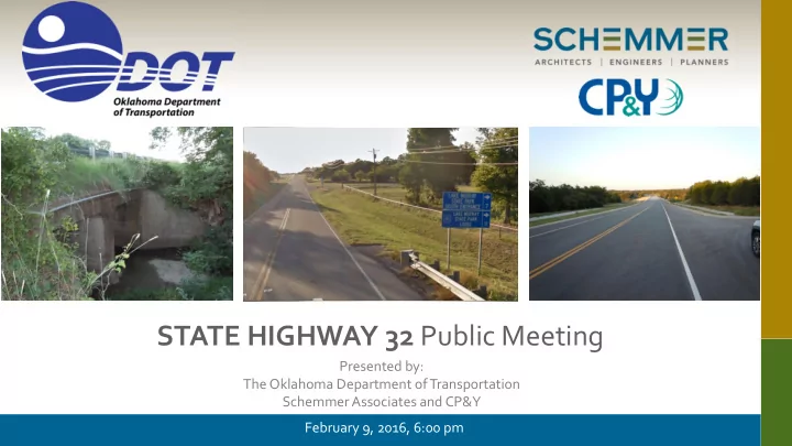
STATE HIGHWAY 32 Public Meeting Presented by: The Oklahoma Department of Transportation Schemmer Associates and CP&Y February 9, 2016, 6:00 pm PROJECT LOCATION LOVE COUNTY PURPOSE OF MEETING Describe project and purpose of the
LOVE COUNTY
LEGEND Fatality Injury Property Damage
SH-77S
Hickory Crk
SH-77S Red River Potential Relocation
Love’s Valley WMA Lottie’s Rd
SH-77S
SH-32 Potential Relocation Red River Hickory Crk
Love Valley WMA Lottie’s Rd
SH-77S
SH-32 Potential Relocation Potential Underground Storage Tank Red River Hickory Crk
Love Valley WMA Lottie’s Rd
SH-77S
SH-32 Red River Hickory Crk
Love Valley WMA
Potential Relocation
Lottie’s Rd
Developed to compare impacts of all proposed alternatives.
PROJECT IMPACT MATRIX Alternative Wildlife Management Area Impact (Acres) Wetlands Impacted (Acres) Number of Relocations (Total/ Commercial / Residential) Potential Hazardous Sites Impacted Estimated Total Project Cost 1 0 Acres 0 Acres Total: 9 Commercial: 1 Residential: 8 $ 25,416,000.00 2 0.7 Acres 0 Acres Total: 10 Commercial: 3 Residential: 7 $ 21,551,000.00 3 0.7 Acres 0 Acres Total: 9 Commercial: 2 Residential: 7 2 $ 22,328,000.00 4 0.7 Acres 0 Acres Total: 5 Commercial: 1 Residential: 4 $ 21,624,000.00
LOVE’S VALLEY ROAD LOTTIE’S ROAD SALT CREEK ROAD LOVE VALLEY WILDLIFE MGT AREA
Alternative 4 was recommended as the Preliminary Preferred Alignment— The alignment impacts the fewest homes and businesses while correcting all of the safety concerns along the corridor.
HODGES ROAD
Minimizing Impacts — Alignment offset to West then weaves to East to avoid homes
SH-32 Current Location