
SLIDE 1
3/28/2016 1
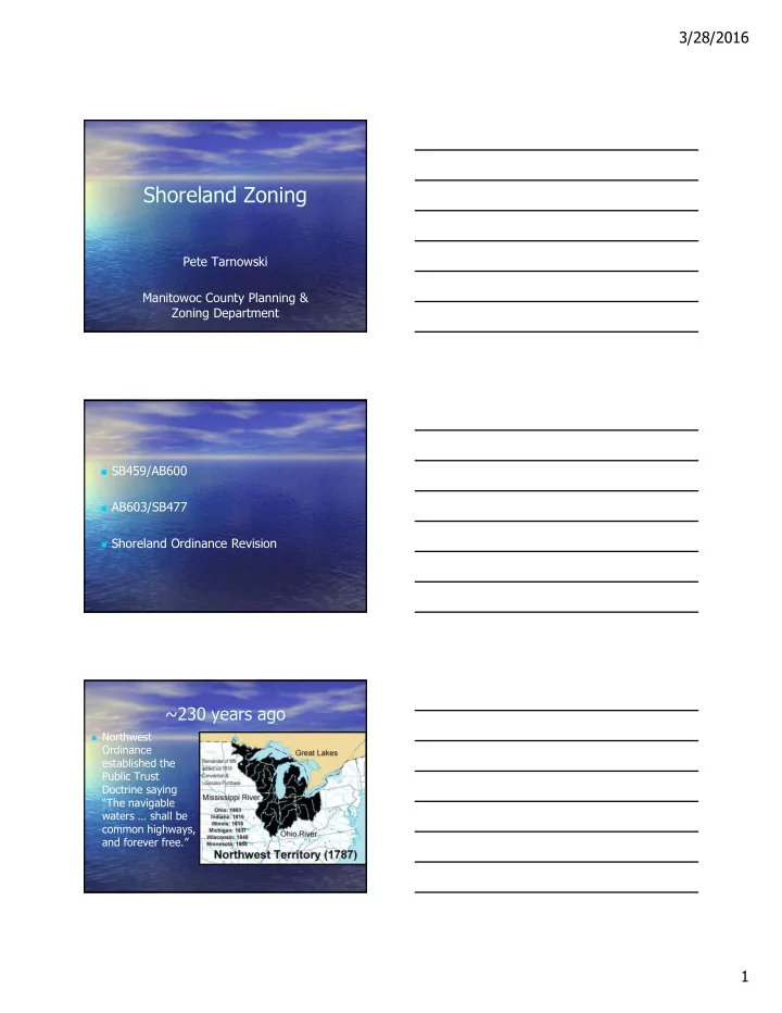
Shoreland Zoning
Pete Tarnowski Manitowoc County Planning & Zoning Department
SB459/AB600 AB603/SB477 Shoreland Ordinance Revision
~230 years ago
Northwest
Shoreland Zoning Pete Tarnowski Manitowoc County Planning & - - PDF document
3/28/2016 Shoreland Zoning Pete Tarnowski Manitowoc County Planning & Zoning Department SB459/AB600 AB603/SB477 Shoreland Ordinance Revision ~230 years ago Northwest Ordinance established the Public Trust Doctrine saying
SB459/AB600 AB603/SB477 Shoreland Ordinance Revision
Northwest
1848- WI
Constitution also said “The navigable waters … shall be common highways, and forever free.”
1899- WI Supreme
Court agreed that preserving navigable waters was a state
The Wisconsin Constitution, adopted in 1848, says navigable waters are “common highways and forever free” . This led to “The waters of WI belong to the people of WI” which is the basis of the Public Trust Doctrine. State of WI has obligation to protect the public’s rights in all navigable waters including boating, fishing, swimming & hunting. Shoreland zoning, adopted in 1966, protects public rights through its purposes.
Purpose (Wis. Stat. § 281.31)
Preserve the safety and well being of the
Aid in the prevention and control of water
Protect spawning beds, fish and aquatic life. Control building sites, placement of structures
Preserve shore cover & natural scenic beauty.
Navigable Water “Property Rights” Bill Amendments to Wis. Stat. ch. 30
Navigable Waters, Harbors & Navigation
(Wis. Stat. chs. 31 & 281)
Sets limitations on how DNR designates
Allows general permit for seawall replacement
Modifies boathouse definition so that it only
Foundation repair included under allowable
Limits DNR's ability to regulate boat shelters
Requires DNR to consider factors such as
Limits DNR review of "practicable alternatives"
Single-Family Residence Barn or Farm Buildings Small Business Project
Development prior to July 2012. Practical alternatives consistent with and
30 cubic yards removal per year. State owned lake bed transfer to private owner. Reduced restrictions on rip rap.
2015 Budget Bill Provisions
Act 55
Wisconsin Act 167
Codifies Act 55. 3 new amendments.
8+ years of Advisory Committee Mtgs.
WCCA, WAL, Builders, Realtors, River Alliance
Listening Sessions, Open Houses, Public
2012 - Act 170 2015 - Act 55 2016 – Act 167
Sets forth minimum standards for County
with Act 55 they are now the minimum
Changes the authority counties have in
A shoreland zoning ordinance (county, village or city) may
not:
regulate a matter more restrictively than is the shoreland
zoning standard.
require establishment of a vegetative buffer on previously
developed land or expansion of an existing vegetative buffer.
Regulate outdoor lighting for residential use.
Regulate the maintenance, repair, replacement, restoration,
rebuilding or remodeling of a nonconforming structure if the activity does not expand the footprint. No approval, fee or mitigation required.
Require the inspection or upgrade of the structure before
the sale/transfer of the structure may be made.
Regulate the vertical expansion of a nonconforming
structure unless the expansion is greater than 35’ above grade level. No approval, fee or mitigation required.
Establish standards for impervious surfaces unless
the standards provide that a surface is considered pervious if the runoff from the surface is treated by a device or system, or is discharged to an internally drained pervious area that retains the runoff on or
Regulate the construction of a structure on a
substandard lot in a manner that is more restrictive than the shoreland zoning standards.
The DNR may not issue an opinion on whether or not a
variance should be granted or denied without the request of a county Board of Adjustment (BOA).
The DNR may not appeal a BOA decision.
1. Lot Sizes 2. Building Setbacks 3. Vegetation 4. Filling, grading, lagooning, dredging,
5. Impervious Surfaces 6. Height 7. Nonconforming Structures and Uses.
Shoreland zoning ordinance may not
Measurement of average lot width can
Measured it at water’s edge and at building line.
80 acres 1.3 miles of developable shoreline
300 foot lots
Result on 80 acres lake: 22 homes
80 acres 1.3 miles of developable shoreline
100 foot lots
Current allowed density Result on 80 acres lake: 66 homes
Limit intensity of development to something
Most shoreland lots have
Tree removal Filling and grading Driveways, parking areas and buildings lead to
Pollutant-carrying runoff that impacts fish and property values Loss of habitat for shoreline wildlife and fish
Small lot sizes = High density development
Phosphorus (lbs/yr)
Forested 300' lots built out 100' lots built out
1 pound of P = 500 pounds of algae So building homes
around an 80 acre lot adds 23 extra pounds of P, which can cause over 11,000 pounds of additional algae
Shoreline buffer 35 ft. To keep the
home/structure on stable ground.
To keep the shoreline
buffer intact during and after home construction.
To reduce pollutant-
carrying runoff entering lake or stream.
To maintain habitat
for birds and other wildlife, and natural scenic beauty.
Area for heavy equipment during construction
Required setback is 75’ or an average
All structures are required to meet the
Definition Act 55 – a principal structure or
Statute uses word “including” rather than
Now have to allow all exempt structures.
Boathouses above the OHWM, located in the
Open-sided and screened structures that
Fishing rafts under 30.126. Broadcast signal receivers.
Utility transmission and distribution lines, etc.
Walkways, stairways, or rail systems that are
Can create requirements for exempt
Can’t regulate in a less restrictive or more
Exempt structures are conforming
Can create requirements for boathouses. The standard that is being regulated is the
Used for proposed structures of 200 sq. ft.
Shoreland setback area means an area that
Part of the structure nearest to the water is
Total floor area of ALL of the structures in the
The structures has no sides or has open or
County must approve a plan that will be
All counties now required to administer per NR
75’
Aerial View
35’
10’ 50’ 20’ 60’ 50’
Setbacks from the OHWM
Vegetative buffer zone = area from the OHWM to a
minimum of 35’ landward. Cannot establish a larger VBZ as it would be more restrictive than the minimum required.
Viewing corridor 35’ for every 100’ and allowed to run
contiguously.
A county shoreland ordinance may not require a person
to establish a vegetative buffer on previously developed land and from expanding an existing buffer.
Establishment of veg. buffer can remain an OPTION
for mitigation purposes.
Open sided structure exemption requirement to
establish the vegetative buffer remains in effect.
Shoreline bank is destabilized, resulting in loss of land
Soil erosion covers spawning beds, reduces fish habitat, and feeds algae growth
Loss of shade leads to warmer water temperatures, especially in streams
Loss of habitat for birds, frogs and other wildlife
Loss of natural scenic beauty
100 200 300 400 500 600 700 Wildlife habitat Sediment control Fecal bacteria Stormw ater runoff control Nutrient control Range of recommended buffer w idths in feet based on (x) studies Review of 52 U.S. studies by Aquatic Resource Consultants, Seattle WA 35 ft. NR115 buffer 13-141 49-148 76-302 10-401 33-657
from poop phosphorus, nitrogen covers spawning beds
A 35 foot deep shoreline buffer does not keep bacteria from poop out of the water. In many situations, it doesn’t keep P and sediment out of the water, and isn’t enough for wildlife.
35
Blue grass roots are 1-2 inches deep Native plant roots are 5-15 feet deep, holding much more soil and P in place
Blue grass cannot hold as much soil in place as native plants because blue grass has much shorter
Shoreline buffers provide habitat for
Eagles, loons, great blue herons,
wood ducks and more Lawns provide habitat for
Canada geese Geese avoid buffers because the buffers can conceal predators such as coyotes, foxes and raccoons
Goose video at youtube.com/watch?v=9Oef1C_kPNI
Permits issued, variances or CUP granted with conditions
to restore, establish or expand the VBZ remain enforceable if issued prior to July 14, 2015.
The remaining vegetation standards in NR 115 remain in
effect with the exception of the size of the viewing corridor.
Board of Adjustments can still require a vegetative buffer
as a condition for a shoreland variance. From case law, conditions on variances and CUPs must meet 2 tests:
Remedy a harm to the public interest (ordinance purposes). Be proportionate to the resulting harm.
Filling & Grading Allowable Activities
Minor projects. Done in a manner to minimize erosion and
Protect against erosion by rip rap, vegetative
State permitting.
CUP requirements:
Filling or grading on slopes ≥ 20% Filling or grading more than 1,000 square feet
Filling or grading more than 2,000 square feet
Ponds or wetland scrapes >2 acres.
Less clear water = Lower waterfront property values
A study of over 1200 waterfront properties in
Minnesota found when water clarity went down by 3 feet, waterfront property values around these lakes went down by tens of thousands to millions of dollars What shoreland practices make water less clear?
Soil erosion Rooftops and pavement
close to the water cause runoff that carries pollutants to waterway
No shoreline buffer to
filter runoff
See Protecting Your Waterfront I nvestment at uwsp.edu/cnr-ap/clue/Documents/Water/ShorelandInvestment2013.pdf
What is an impervious surface (IS)? An area that releases all or a majority of
Roofs, driveways, patios, sidewalks, etc.
What is the standard?
For riparian lots, or non-riparian lots that
Up to 15% impervious. Between 15% - 30% with mitigation. Impervious surfaces within 300 feet of
What is the standard? Keep the impervious surfaces you have. County MUST exclude IS that treated by
construction, reconstruction, expansion, replacement or relocation of any impervious surface that is or will be located within 300 feet
waterway on any of the following:
within 300 feet of the ordinary high−water mark of any navigable waterway.
2008 study
lakes found the same trend 2008 study
lakes found the same trend Impervious surfaces are hard surfaces like roofs, driveways, parking areas and patios
See I mpervious Surfaces: How They I mpact Fish, Wildlife and Waterfront Property Values – handout and video at uwsp.edu/cnr-ap/clue/Pages/publications-resources/water.aspx
More sediments and
algae growth make it difficult for some predator species that hunt by sight to find their food
More sediments
cover spawning beds
and smallmouth bass, depriving eggs of
More runoff leads to
warmer waters that eliminate fish like northern pike & trout
0.1 0.2 0.3 0.4 0.5 0.6 0.7 0.8 <5' 5-9.9' 10-19.9' >20'
July Secchi Disk Depth (feet) Proportion of Lakes Occupied
Photo credit Doug Killian
Counties may create “highly developed shorelines”
Census.
January 31, 2013.
following standards are met.
1, 2010 or;
For Highly Developed Shorelines
Residential land use: A county may allow
Commercial, industrial or business land
Manitowoc County Highly Developed
Pigeon Lake Little Pigeon Lake
Counties are required to adopt provisions within their
impervious surface standards that allow an impervious surface to be considered pervious if the runoff from the impervious surface is treated by a device or system or is discharged to an internally drained pervious area on or
Only entitled to the exemption when it can be
demonstrated that the runoff is being treated or is internally drained.
A maintenance plan and recorded agreement ensures the
systems/area are fully operational and will continue to do
Device/area receiving the runoff fails, the impervious
surface is no longer exempt and compliant and is considered impervious.
Purpose is to protect the natural scenic
Height is regulated to a maximum of 35’
Height beyond the 75’ setback is generally
Limit intensity of development to something
Boats/personal watercraft Parking
Maintain buffer & natural scenic beauty
Lake of the Ozarks, Missouri
Measurement is: Typically to roof ridge. Chimneys,
measurement.
Model ordinance diagrams.
A lawfully placed structure that does not
Structure may also be nonconforming for
More pollutant-carrying runoff makes it to the lake or stream.
Less shoreline habitat for loons, eagles, frogs, etc.
Less natural scenic beauty.
Exempt structures listed in NR 115.05(1)(b)1m. Structures that meet the required or average setback from OHWM. Structures that were granted a variance. A structure for which a variance was granted under the zoning provisions
in effect is not considered non-conforming.
The existence of such a variance does not prevent the structure from
being classified as non-conforming if some other characteristics of the use or structure fail to comply with the requirements.
Structures that have been illegally constructed. Structures that were illegally constructed but exceed the ten year
limitation for enforcement in 59.692(1t) do not become a legal structure
been taken.
Shoreland ordinance cannot regulate the
Includes principal and accessory structures. No approval = no permit. Floodplain, sanitary, building permits, general
Vertical expansion of a nonconforming
New definition includes accessory structures
2nd story to a garage. Replace patio with an elevated deck. Changing roof pitch and side wall height on shed.
Expansion beyond the setback. Relocation of NC structure.
Principal structure is 35’ from OHWM. Mitigation required. All other ordinance provisions are met. No compliant location.
Lateral expansion of 200 square feet if:
Principal structure is 35’ from OHWM. Mitigation required. All other ordinance provisions are met.
Act 55 did not modify a county’s authority to enact or
enforce ordinances under other statutes.
Act 55 only modified the provisions in s. 59.692, which
relates to county shoreland zoning.
s. 59.69 (general zoning) . S. 236 (Land Division). 87.30 (floodplain). 91.30 (farmland preservation).
59.692(1d)(b) allows counties to regulate “matters” that are not regulated by a shoreland zoning standard in NR 115 listed below:
Minimum lot sizes, Building setbacks, Vegetation,
Filling, grading, lagooning, dredging, ditching and excavating, Impervious surfaces, Height and Nonconforming structures and uses. Address the purposes of s. 281.31
to further the maintenance of safe and healthful
conditions; prevent and control water pollution; protect spawning grounds, fish and aquatic life; control building sites, placement of structure and land uses and reserve shore cover and natural beauty.
Dune, escarpment, wetland regulations Density Requirements Land uses Land suitability Woodland Cutting
Lake Michigan Shoreline
Bluff stable slope angle calculation.
2.5 times bluff height.
Shoreline recession rate calculation.
2’ per year x 50 year design life.
Existing Exempt Structures. Reduced Principal Structure Setback.
Averaging
Highly Developed Impervious Surface
Existing Exempt Structures
Boathouses, open sided structures, satellite
May be maintained, repaired, replaced,
Existing Exempt Structures cont. Prohibits counties from requiring any
Permits and fees under floodplain zoning,
Reduced Principal Structure Setback
Allows one-sided averaging. Principal structure located within 75 feet on
Highly Developed Impervious Surface
Added third category. Majority of lots in a 500’ length of shoreline
Required revision by October 1, 2016. Planning & Park Commission
March-April
Manitowoc County Board of Supervisors
April-May