
SLIDE 1
Sediment and Nutrient Mass Balance Model of Conowingo Pool Mark - - PowerPoint PPT Presentation
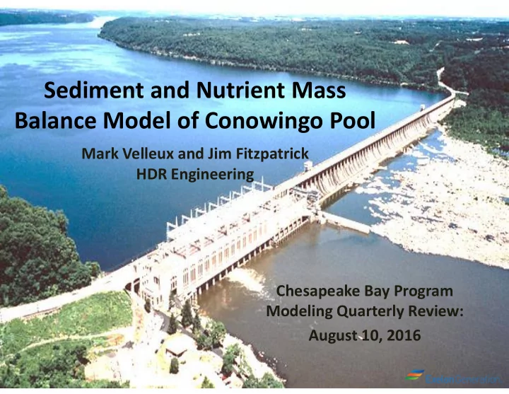
Sediment and Nutrient Mass Balance Model of Conowingo Pool Mark Velleux and Jim Fitzpatrick HDR Engineering Chesapeake Bay Program Modeling Quarterly Review: August 10, 2016 Model Grid and Spatial Resolution Holtwood Dam Resolves primary
Holtwood Dam Conowingo Dam Direction
Data: Normandeau, 2010
10 20 30 40 50 60 70 5 10 15 20 25 30 35
Platicity Index (PI) = Liquid Limit - Plastic Limit % Clay (rescaled to account for a small coal fraction)
Surfaces for each year generated by kriging. Interpolation error approximately ± 1 foot. Variation in areas immediately adjacent to shore may reflect possible measurement error, position uncertainty, differences in methods, etc. Averages shown are unweighted values.
These are loads entering the Pond. Next time, we’ll have loads leaving.