Research Focus Government Ministry Agency Reduce contamination of - - PDF document

research focus
SMART_READER_LITE
LIVE PREVIEW

Research Focus Government Ministry Agency Reduce contamination of - - PDF document

Nebraska Jim Schepers U.S. Department of Agriculture Brazil Agricultural Research Service Argentina Greece ULRMC ULRMC USDA-ARS Government Government Ministry Agency Ministry Institute Institute University University University


slide-1
SLIDE 1

1

Jim Schepers

U.S. Department of Agriculture Agricultural Research Service
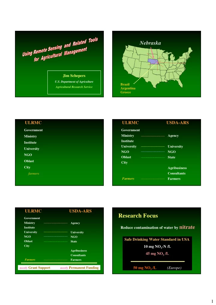
Nebraska

Brazil Argentina Greece

ULRMC

Government Ministry Institute University NGO Oblast City farmers

ULRMC USDA-ARS

Government Ministry Institute University NGO Oblast City Farmers Agency University NGO State Agribusiness Consultants Farmers

ULRMC USDA-ARS

Government Ministry Institute University NGO Oblast City Farmers Agency University NGO State Agribusiness Consultants Farmers mostly Grant Support mostly Permanent Funding

Research Focus

Reduce contamination of water by nitrate Safe Drinking Water Standard in USA 10 mg NO3-N /L 45 mg NO3 /L 50 mg NO3 /L (Europe)

slide-2
SLIDE 2

2

Research Focus

Reduce contamination of water by nitrate

Sources

  • Fertilizer
  • Manure
  • Organic matter decomposition

How well can we estimate the supply of mobile nutrients

?

N Pool

Causes of nitrate contamination of water

Sources

  • Fertilizer
  • Manure
  • Organic matter decomposition

Excess water Too much N at the wrong times

Causes of nitrate contamination of water

Sources

  • Fertilizer
  • Manure
  • Organic matter decomposition

Excess water Too much N at the wrong times

30 - 40 ¢ /kg N

Research Focus

Reduce contamination of water by nitrate

Sources

  • Fertilizer
  • Manure
  • Organic matter decomposition

Approaches

  • Delineate soil management zones
  • Utilize remote sensing and GIS tools
  • Implement in-season N management

Satellites Aircraft Ground-based

slide-3
SLIDE 3

3

70 60 50 40 30 20 10 400 500 600 700 800 900 1000

Wavelength (nm) Reflectance (%)

Spectral Options

Color IR Film Color Film

Calibration Tarps and Reflectance

8% 4% 48% 64%

Reflectance

Digital Camera Data To Reflectance Digital Camera Data To Reflectance

Highest Point in Nebraska Hyperspect ral ASD Sensor

20 m Extra N fertilizer

Bare Soil

“After Planting” Soil Survey Map Bare Soil Image

slide-4
SLIDE 4

4

Soil Survey Map Grid Sampling Map Bare Soil Image Grid Sampling Map $20 2000 samples and $20,000 Grid Sampling

(12 x 24-m grid)

1.3 1.7 2.1 2.5 2.9 3.3

Organic Matter (%)

Aerial Photograph Soils Map

Intensive Soil Quality Assessment on a Field Scale

Sprinkler irrigated field in Central Nebraska

Management Zones

Computer Generated Management Zones

Which GIS layers are needed to delineate

Elevation Slope Bare Soil Image

slide-5
SLIDE 5

5

Yield Map 2001 CIR Color EM-38 Soil Survey Yield Map 2000

EM-38 (electro-magnetic induction)

Proxy for soil electrical conductivity

Veris

electrical conductivity

Yield 97 Yield 99 Yield 98

Bare Soil Aerial Photo Early Growing Season Infra-Red Photo Grain Yield Map from Yield Monitor on Combine

Computer Generated Management Zones

Bare Soil Image Elevation Slope EM-38

  • Incorporating. . .
slide-6
SLIDE 6

6 Color IR Soybean

Hail damage Sprayer problems Cultivation in progress

More uniform water distribution - Hopefully Uniformity Concerns: (May Turn Into Huge Yield Concerns)

End-gun “OFF” End-gun “OFF”

“ON”

Irrigation Design Flaws Nozzle in canopy

Irrigation Design Flaws

Corner unit “ON”

AVIRIS Image

Water stress N Rates Bare soil

PCA processing

(3-m resolution)

slide-7
SLIDE 7

7

Vineyards

Goumenissa, northern Greece

Color Color IR

Oblique Aerial Photography

How to measure success ? ??

Photosynthesis Biomass Yield

Comparing Data with Different Spatial Resolution

“Picture Element”

1-ha Grid Sampling

100-m resolution 1 point/ha

slide-8
SLIDE 8

8

0.2-ha Grid Sampling

45-m resolution 5 points/ha

Yield Monitor

~4-m resolution 625 points/ha

Aerial Photograph

~0.3-m resolution ~100,000 points/ha

Concern / Analogy

Measure it with a micrometer (um) Mark it with a piece of chalk (mm) Cut it with an ax (cm)

Water, Fertilizer, Pesticides

“If I apply it, good things will likely happen!”

Yield Monitor

“Now that I have these maps, what do I do?”

Remote Sensing

“If you spend money on it, nothing is likely to happen until

you do something else!”

Yield

Photosynthesis Biomass

slide-9
SLIDE 9

9

70 60 50 40 30 20 10 400 500 600 700 800 900 1000

Wavelength (nm) Reflectance (%)

Spectral Opportunities

Living Vegetation “Biomass” Photosynthesis

70 60 50 40 30 20 10 400 500 600 700 800 900 1000

Wavelength (nm) Reflectance (%)

NDVI = NIR – Red NIR + Red Stressed Normal Bare Soil

Black background

Sensitivity of Vegetation Indices to Chlorophyll Levels

0.1 0.2 0.3 0.4 0.5 0.6 0.7 0.8 0.9 5 10 15 20 25 30 35 40 45 50

Chlorophlyll (ug/cm2) Vegetation Index

NDVI GNDVI

Adapted From Gitelson et al. (1996)

Vegetation Indices vs Corn Yield

0.1 0.2 0.3 0.4 0.5 0.6 0.7 0.8 0.9 1 6/12 6/26 7/10 7/24 8/7 8/21 9/4 Date Correlation Coefficient (r) NDVI TSAVI GNDVI

Passive Sensors

Natural Light

slide-10
SLIDE 10

10

Development of narrow band field sensors:

Infrared Ultraviolet

400

nm

500 600 700

Holland Scientific

415 440 460 550 600 632 680 800

Passive Sensor Background panel Upward Sensors

1 m

2 4 6 8 10 12 14 16 18 1 2 3 4 5 6 7 8 9 10 11 12 Distance traveled, m Reflectance at 800nm, % Sampling frequency: 4 read. s-1 Rate of travel: 0.333 m s-1 5.6 plants m-1 2.8 plants m-1

Rate of travel 0.333 m s-1 2.0 m s-1

12 reads m-1

Sampling rate 4 reads s-1 24 reads s-1 Nadir View Off-Nadir View

DGPS

Passive Multi-Spectral Sensor Real-Time Application

Fertilizer

Active Active Active Sensors

substitute controlled radiation source for natural radiation Portable GreenSeeker

slide-11
SLIDE 11

11

GreenSeeker

Active Sensor

Distance gauge

Red and NIR

Portable GreenSeeker

45 cm 60 cm

Width ~1 cm

60 cm GreenSeeker field of view Sensor 45-cm above target

Active light source

(~2000 Hz)

Active Sensor – “Foot-Print”

50 cm @ 1.0 m distance

Green and NIR

slide-12
SLIDE 12

12

Calibration

  • What crop parameter is being estimated ?

leaf N chlorophyll biomass yield LAI

  • Interactions with weather ?

Pioneer 3162 (June 22, 2000)

y = 97.527x - 22.243 R 2 = 0.9859 40 41 42 43 44 45 46 47 48 0.64 0.65 0.66 0.67 0.68 0.69 0.7 0.71 0.72

GNDVI SPAD

Real-Time Active Sensor / Sprayer

Source: www.NTechindustries.com

Appropriate allocation of new inputs

WHEAT - Oklahoma

Capstan Ag Systems, Inc. Remote Sensing

“If you spend money on it, you need to be prepared to do something with the information (i.e., make a decision . . . )

  • r else the activity will only have
slide-13
SLIDE 13

13

You Survived !!!!

U.S. Embassy Science Fellow Program Michele Dastin Ukrainian Land and Resource Management Center Eric Luhmann David Schaub Others . . . . . . . Family and Colleagues Marilyn Schepers USDA-Agricultural Research Service