
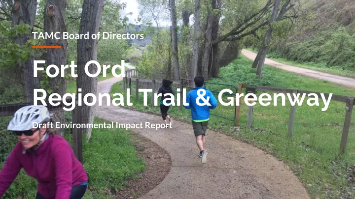
SLIDE 1
Fort Ord Regional Trail & Greenway
Draft Environmental Impact Report
TAMC Board of Directors
Regional Trail & Greenway Draft Environmental Impact Report - - PowerPoint PPT Presentation
TAMC Board of Directors Fort Ord Regional Trail & Greenway Draft Environmental Impact Report Environmental Impact Report 1970 California Environmental Quality Act Beginning of planning process Provide the public with:
Draft Environmental Impact Report
TAMC Board of Directors
Quality Act
impacts
alternative to cars
and recreation
Fort Ord, Monterey Peninsula, and Salinas Valley
environment
2’ 2’ 8’ - 12’ 16’
GREENWAY (up to 150’) GREENWAY (up to 150’)
Biological Resources Aesthetics Public Safety and Services Hydrology and Water Quality Mitigation measures to reduce impact:
Draft EIR public comment period closes January 3, 2020
minimization
practices
▪ Impacts to wildlife and biological resources ▪ Food safety risks related to trail use near agriculture ▪ Lighting impacts ▪ Increased bicycle traffic on Angelus Way and Frog Pond Wetland Preserve ▪ Airport safety zones
No Build Increase use of existing roadways Substitute at-grade crossings Frog Pond Wetland Preserve Northerly Alignment
greater vehicle-bike conflicts / less accessible
greater vehicle-bike and vehicle- ped conflicts
separation from existing walking path
Alternative Alignment Proposed FORTAG Alignment Waste Management District Marina Station Marina Airport
Alternative at-grade crossing for proposed bridge No objects are proposed along the trail within Airport Safety Zones Connection to future development
Alternative at-grade crossing
Proposed FORTAG Alignment Alternative at-grade crossing Alternative Alignment
Alternative Alignment Proposed FORTAG Alignment
Main Gate Campus Town The Dunes
Alternative Crossing Alternative at-grade crossings
Proposed FORTAG Alignment
Proposed FORTAG Alignment Proposed FORTAG Alignment Alternative Alignment
02 | Broadway Avenue 03 | San Pablo Avenue 01 | Hilby Avenue
recapture backyard right-of-way
Plumas Ave homes vs. user safety
connect parks
Alternative Alignment Proposed FORTAG Alignment
Roundabout at S Boundary Rd (planned)
Bike/Ped Undercrossing (proposed) Northern Alternative Proposed FORTAG Alignment
Wildlife Corridor
Northern Alternative Alignment Proposed FORTAG Alignment
Wildlife Corridor
invasive plants and restoration of habitat
from walking path
At-Grade Crossing Alternative to Tunnel Carlton Drive / SR 218
warning system
warranted
Alternative Alignment Proposed FORTAG Alignment
2019
Public Comment Starts
2019
Public Hearing @ TAMC Board of Directors
2020
Public Comment Closes
Feb. 2020
TAMC incorporates comments and responses into final document
2020
Approval of Final Environmental Impact Report @ TAMC Board of Directors
Design
until January 3, 2020
TAMC 55-B Plaza Circle Salinas, CA 93901 Attn: Rich Deal, Principal Engineer
until January 3, 2020
rich@tamcmonterey.org
November 2019 - December 2019
Check www.tamcmonterey.com for dates
Draft Environmental Document Online: http://bit.ly/TAMC_FORTAG Hardcopies for viewing: TAMC offices, Marina and Seaside public libraries
Rich Deal Project Manager rich@tamcmonterey.org Stefania Castillo Assistant Project Manager stefania@tamcmonterey.org