
SLIDE 1
Public Transit & Mapping Jake Simonds-Malamud & Ashley - - PowerPoint PPT Presentation
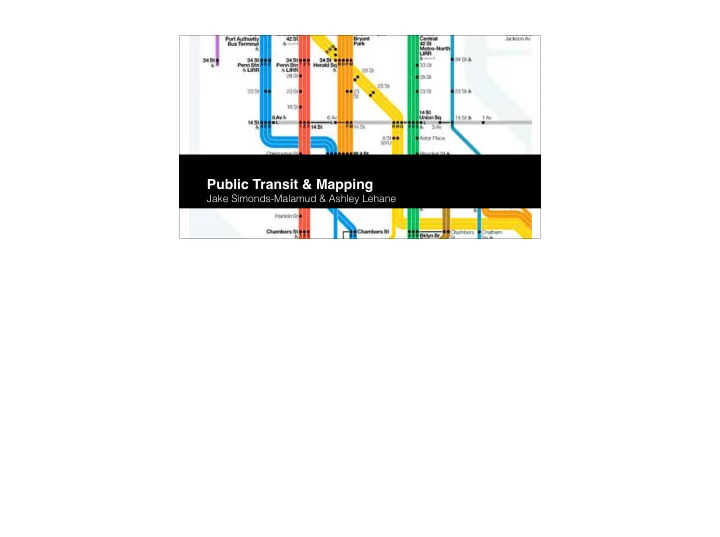
Public Transit & Mapping Jake Simonds-Malamud & Ashley Lehane Branding Walking Mapping MBTA Modernization MBTA Peter Chermaye ff New maps (colored line system), signage, logo, name Vignelli & the MTA We did the studies on
“We did the studies on these four stations, the traffic flow and all the analysis needed to determine where the points of decision were —because the whole thing in signage, the number one rule, is to give information at the point of decision. Never before and never after.”
Redo this slide.
COPLEY STATION NEIGHBORHOOD MAP 8 minute walk to Boston Common 20 minute walk to Reservoir Why churches & hotels? What is this? B line doesn’t go to Lechmere. What am I supposed to do with this? 1 2 3 4 1 2 3 Surely there’s a better way to accomplish this.
Monoliths (D) These wider signs include detailed directional information and a large walking map to illustrate a five-minute walk in any direction. They are used where groups of people can stand without blocking the path of others. Miniliths and midiliths These taller, narrower signs offer detailed information on the local area but are useful where pavement space is at a premium. Their height ensures they are visible from a distance and can be spotted above a crowd of people. Finger posts These are more traditional signs pointing the way to places where a map-based sign may not be suitable. All signs use high contrast colours so they can be read easily. Each sign is clearly identified with a yellow strip at the top and a walking man icon.
Interlith totems These tall signs combine detailed directional information and walking maps with an illuminated beacon. Designed to be used at transport interchanges, such as stations and river piers, they condense the number of signs required at these locations.
The Walker Directional information Finder map Addressing Planner map Street finder
'Heads-up' mapping Rather than having north at the top, on-street signage maps are 'heads-up', which means they're orientated to face the same way as the user is facing. This helps people understand their immediate environment more easily. Accessibility Important information is located between 900mm and 1800mm above the ground so it can be easily read by most people. Among other things, the maps show steps, pavement widths and pedestrian crossings, which are important for visually-impaired people, wheelchair users and others with limited mobility. Time to walk Research shows people can more easily understand the proximity of places if they know how long it will take, rather than the distance they have to travel. This is why we use time as the scale for Legible London maps. Walk this way Directional information is used to point the way towards areas of London, as well as specific attractions. 3D buildings Illustrations of key buildings are included to help people who struggle to read maps, including those with learning difficulties. They provide a literal representation of key landmarks and make the maps more intuitive. Planner map The planner, or 15-minute, map helps orientate the user by showing the proximity of 'villages' to each other. This helps give the user the confidence to try longer walking journeys. The 15-minute walking circle indicates places that can be reached within that time, when walking at an average pace. Finder map The finder, or five-minute, map is more detailed than the planner map and features a number of landmarks, to help guide the user towards specific streets and attractions. It includes a five-minute walking circle indicating places that can be reached within that time, when walking at an average pace. Integrated transport
HAVERHILL LINE LOWELL LINE
West Medford Waverley Belmont Chelsea
Rental Car Center
GL RL BL OL SL1
Central Wharf Long Wharf North Charlestown Navy Yard Logan Ferry Terminal Rowes Wharf
E E B, C, D, E C, E C, E E , C C H A R L E S T O W N F E R R Y
1 57 57 77 71 73 111 117 116 117 73 66 66 1 77 111
Union Sq (Allston) Arlington Heights Bellingham Sq Woodlawn Revere Center
Sullivan Sq r a d e C t r Aquarium Haymarket Haymarket C
r t h
s e S i l v e r L i n e W a y Kendall/MIT State C
l e y Downtown Charles/ MGH
BOWDOIN
Porter Harvard Central Maverick Airport Wood Island Orient Heights
ALEWIFE
Davis Sutherland Rd arren St Coolidge Corner Griggs St
BU Central Blandford St Harvard Ave North Station Park St Assembly Wellington Malden Center ashington St Allston St Kent St Summit Ave
Hawes St Babcock St Pleasant St BU West BU East Community College Community College Packards Corner H y n e s C
v e n t i
C t r
Concourse
LECHMERE WONDERLAND OAK GROVE
Science Park/West End Gov’t. Ctr
Closed for renovation
husetts Bay Transportation Authority ransit/Key Bus Routes Map
HAVERHILL LINE LOWELL LINE
West Medford Waverley Belmont Chelsea
Rental Car Center
GL RL BL OL SL1
Central Wharf Long Wharf North Charlestown Navy Yard Logan Ferry Terminal Rowes Wharf
E E B, C, D, E C, E C, E E , C C H A R L E S T O W N F E R R Y
1 57 57 77 71 73 111 117 116 117 73 66 66 1 77 111
Union Sq (Allston) Arlington Heights Bellingham Sq Woodlawn Revere Center
Sullivan Sq r a d e C t r Aquarium Haymarket Haymarket C
r t h
s e S i l v e r L i n e W a y Kendall/MIT State C
l e y Downtown Charles/ MGH
BOWDOIN
Porter Harvard Central Maverick Airport Wood Island Orient Heights
ALEWIFE
Davis Sutherland Rd arren St Coolidge Corner Griggs St
BU Central Blandford St Harvard Ave North Station Park St Assembly Wellington Malden Center ashington St Allston St Kent St Summit Ave
Hawes St Babcock St Pleasant St BU West BU East Community College Community College Packards Corner Hynes Convention Ctr
Concourse
WONDERLAND OAK GROVE
Science Park/West End Gov’t. Ctr
Closed for renovation
husetts Bay Transportation Authority ransit/Key Bus Routes Map
Lechmere Washington St Gilman Square Lowell St Ball Sq College Ave Union Sq