SLIDE 12 ANALYSIS: WATER ACCESS, TRAILS + GREEN SPACE
1 . 9 m il e s . 3 m i l e s
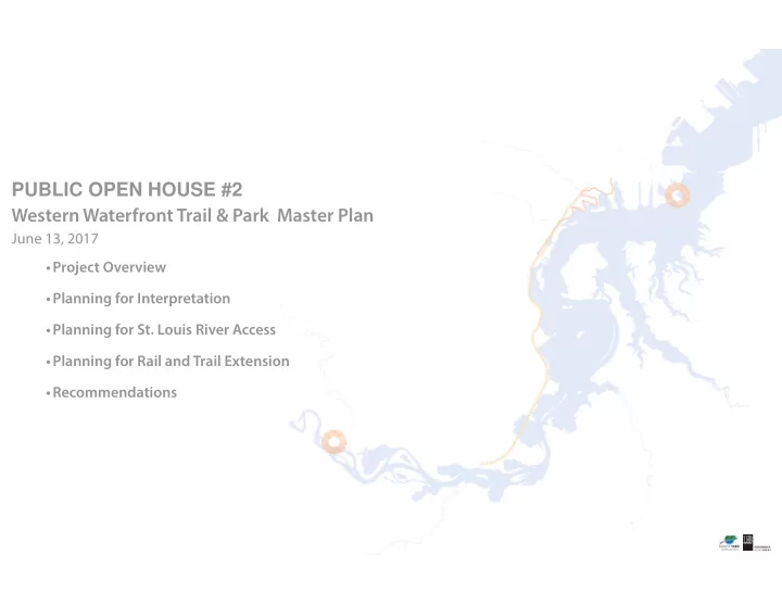
WESTERN WATERFRONT TRAIL & PARK MASTER PLAN Duluth, Minnesota
June 13, 2017 PARKLAND WATER TRAIL ACCESS POINT WATER TRAIL STREAMS BNSF LINE LSMR LINE DMIR LINE EXISTING TRAIL EXISTING WESTERN WATERFRONT TRAIL VIEWS TO POINTS OF INTEREST (SPIRIT LAKE, CLOUGH ISLAND, SPIRIT MOUNTAIN, US STEEL, ESTUARY BAYS)
MAGNEY SNIVLEY FOREST PRESERVE MAGNEY SNIVLEY PARK FREDERICK RODNEY PRAIRIE FOREST PRESERVE CHAMBERS GROVE SPIRIT MOUNTAIN RECREATION
Superior Municipal Forest
LAKE SUPERIOR ZOO GRASSY POINT
Jay Cooke State Park
BLACKMER PARK SMITHVILLE PARK MORGAN PARK COMMUNITY RECREATION CENTER GARY NEW DULUTH COMMUNITY RECREATION CENTER
Spirit Lake Clough Island Mud Lake I-35W W i l l a r d M u n g e r S t a t e T r a i l S u p e r i
H i k i n g T r a i l Boy Scout Landing Munger Landing Spirit Lake Marina Lower Spirit Riverfront Indian Point Campground
Perch Lake Landing Chambers Grove Historical Park 0.5 miles
0’ 0’ 0’ 0’ 0’ 0’ 0’ 0’ 0’ 0’ 2000 2000’ 2000’ 2000’ 2000’ ’ 200 000 00’ 00’ 4000’ 4000’ 00 00’ 4000’ 8000’ 8000’ 8000’ 8000’ 8000’ 000 8000 8000’ 8000’ 8000
SCAL SCAL CAL SCAL CAL L CAL AL SCAL L A E: E: E: E: E: E: E: E E 1” = ” = 1” = 1” = 1” = 1” 1” = 1” = ” = 1” = 1 200 200 200 200 200 20 00 00 0 0’ 0’ 0’ 0’ 0’ 0’
1 . 5 m i l e s 4 . 9 m i l e s . 4 m i l e s 1 . 3 m i l e s 1 . 7 m i l e s
LEGEND
ACCESS POINT DISTANCE
Grassy Point to Indian Point Campground 1.9 miles Indian Point Campground to Lower Spirit Riverfront 1.3 miles Lower Spirit Riverfront to Spirit Lake Marina .5 miles Spirit Lake Marina to Munger Landing .4 miles Munger Landing to Boy Scout Landing 4.9 miles Boy Scout Landing to Perch Lake Landing 1.5 miles Perch Lake Landing to Historical Park 1.7 miles Historical Park to Chambers Grove .3 miles
Existing mileage between access points:
Munger Landing to Boy Scout Landing 4.9 miles