
SLIDE 1
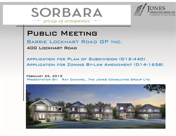
Barrie Lockhart Road GP Inc.
400 Lockhart 400 Lockhart Road Road Applica Application for Pl ion for Plan of an of Subdiv Subdivision (D12-440) ision (D12-440) Applica Application for Zoning By-l ion for Zoning By-law Amendment (D14-1658) Amendment (D14-1658)
Public Meeting Public Meeting
Present Presentation B tion By: : Ray D y Duhamel, hamel, The Jones The Jones Cons Consul ulting Group Ltd. ting Group Ltd. February 25, bruary 25, 2019 2019