
SLIDE 1
January 17, 2017
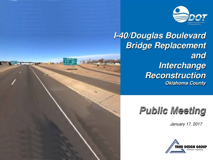
I-40/Douglas Boulevard Bridge Replacement and Interchange Reconstruction
Oklahoma County
Public Meeting
Public Meeting January 17, 2017 Stakeholders I-40/Douglas - - PowerPoint PPT Presentation
I-40/Douglas Boulevard Bridge Replacement and Interchange Reconstruction Oklahoma County Public Meeting January 17, 2017 Stakeholders I-40/Douglas Improvements S.E. 29 TH ST DOUGLAS BLVD Project Location N Meeting Purpose I-40/Douglas
January 17, 2017
I-40/Douglas Boulevard Bridge Replacement and Interchange Reconstruction
Oklahoma County
Public Meeting
Stakeholders
I-40/Douglas Improvements
Project Location
S.E. 29TH ST DOUGLAS BLVD
N
Meeting Purpose
I-40/Douglas Improvements
Project Location & The Surrounding Area
I-40/Douglas Improvements
Project Location
DOUGLAS BLVD S.E. 29TH ST ENGLE RD BRIDGE (Closed) RENNY RD HRUSKOCY GATE (TINKER) TO HRUSKOCY GATE INDUSTRIAL BLVD S.E. 29TH ST ST ANTHONY HEALTHPLEX EAST (ER) LANCER GATE STAFF DR Existing Douglas Boulevard and Bridge
I-40/Douglas Improvements
DOUGLAS BLVD EXISTING TRAFFIC SIGNAL S.E. 29TH ST ENGLE RD BRIDGE (Closed) INDUSTRIAL BLVD S.E. 29TH ST ST ANTHONY HEALTHPLEX EAST (ER) HRUSKOCY GATE (TINKER)Existing Douglas Boulevard
Lanes
(vpd)
Existing Douglas Boulevard and Bridge
I-40/Douglas Improvements
DOUGLAS BLVD EXISTING TRAFFIC SIGNAL S.E. 29TH ST ENGLE RD BRIDGE (Closed) INDUSTRIAL BLVD S.E. 29TH ST ST ANTHONY HEALTHPLEX EAST (ER) HRUSKOCY GATE (TINKER)Existing Douglas Bridge
Gutter, 3-Ft Wide Sidewalks on Each Side
Obsolete” Due to Substandard Horizontal Clearance (Bridge Piers Are Located at Outside Edge of the Right Shoulders along I-40)
Existing I-40
I-40/Douglas Improvements
Existing I-40 Through the Interchange
Shoulders
Lanes to I-40
DOUGLAS BLVD EXISTING TRAFFIC SIGNAL S.E. 29TH ST INDUSTRIAL BLVD S.E. 29TH ST ST ANTHONY HEALTHPLEX EAST (ER) HRUSKOCY GATE (TINKER) ENGLE RD BRIDGE (Closed) Existing I-40/Douglas Interchange
I-40/Douglas Improvements
DOUGLAS BLVD EXISTING TRAFFIC SIGNAL S.E. 29TH ST INDUSTRIAL BLVD S.E. 29TH ST ST ANTHONY HEALTHPLEX EAST (ER) HRUSKOCY GATE (TINKER) 2200 vpd 6100 vpd 350/730 2800 vpd 240/500 900 vpdExisting Interchange – Full Cloverleaf
Feet)
S.B. to W.B.--6,100 vpd , E.B. to N.B.--6,100 vpd
E.B. to S.B.—2800 vpd, N.B. to W.B.—2800 vpd
ENGLE RD BRIDGE (Closed) Collision History
I-40/Douglas Improvements
Collision Summary
Extents
Bridge
Purpose and Need
I-40/Douglas Improvements
Flyover
Improve Safety and Operations between Industrial Blvd. and Douglas Blvd.
Proposed Project
I-40/Douglas Improvements
Alternative 1 Single Point Urban Interchange (SPUI)
DOUGLAS 2045 ADT-49,540 vpd DOUGLAS 2045 ADT-32,880 vpd I-40 2045 ADT-66,630 vpd 5,150 vph 440/920 11,225 vpd 645/1345 5,150 vph 770/460 11,225 vph 1380/735 ENGLE BRIDGE REMOVED INDUSTRIAL BLVD HRUSKOCY GATE (TINKER) TO HRUSKOCY GATE (TINKER) S.E. 29TH ST S.E. 29TH STSPUI
Lanes, Single and Dual Right-Turn Lanes
Ramps - Eliminates Weaving Sections and Improves Safety
Eliminates Weaving Sections on I-40 and Improves Safety
Safety
LEGEND
PROPOSED ROADWAY PROPOSED BRIDGE FUTURE PROJECT TO BE DETERMINEDN
Alternative 1 Single Point Urban Interchange (SPUI)
What is a SPUI?
Ramp Intersections
Interchange and is Signalized
From the Interchange Ramps is Controlled with the Signal
Signal
Alternative 1 Single Point Urban Interchange (SPUI)
Signal Phasing
Phase 1: Left-Turns from Douglas to I-40 Phase 2: Through Traffic on Douglas Phase 3: Left-Turns from I-40 to Douglas
Alternative 1 Single Point Urban Interchange (SPUI)
I-40 and Morgan Road, Oklahoma City
Alternative 1 Single Point Urban Interchange (SPUI)
When To Consider a SPUI?
In Most Cases When We Consider A SPUI as an Interchange Alternative, We Also Evaluate a Tight Urban Diamond Interchange (TUDI) as an Alternative as Well.
Alternative 2 Tight Urban Diamond Interchange (TUDI)
ENGLE BRIDGE REMOVED DOUGLAS BLVD EXISTING TRAFFIC SIGNAL S.E. 29TH ST RENNY RD INDUSTRIAL BLVD S.E. 29TH ST ST ANTHONY HEALTHPLEX EAST (ER) HRUSKOCY GATE (TINKER) PROPOSED TRAFFIC SIGNALS Alternative 2 Tight Urban Diamond Interchange (TUDI) With Future Ramp Flyover
What is a TUDI?
Diamonds)
Signals
Initial Construction is the TUDI. Future Ramp Flyover Would Be Constructed In the Future
Alternative 2 Tight Urban Diamond Interchange (TUDI) With Future Ramp Flyover
DOUGLAS 2045 ADT-49,540 vpd 11,225 vpd 1380/735 5,150 vpd 440/920 5,150 vpd 790/460 11,225 vpd 645/1345 DOUGLAS 2045 ADT-32,880 vpdTUDI with Flyover
Lanes, Single and Dual Right-Turn Lanes
the N.B. to W.B Movement
Ramps - Eliminates Weaving Sections and Improves Safety
Eliminates Weaving Sections on I-40 and Improves Safety
Safety
ENGLE BRIDGE REMOVED HRUSKOCY GATE (TINKER) S.E. 29TH ST INDUSTRIAL BLVDN
PROPOSED TRAFFIC SIGNALSLEGEND
PROPOSED ROADWAY PROPOSED BRIDGE FUTURE PROJECT TO BE DETERMINED Alternative 3 Reconstruction of Cloverleaf Interchange
Cloverleaf Interchange
for Loop Ramp Weaving
Future Left Turn Lanes
Lanes Wide in Merge Areas
Improves Safety
Improves Safety
DOUGLAS 2045 ADT-49,540 vpd 11,225 vpd 1380/735 5,150 vpd 790/460 11,225 vpd 645/1345 DOUGLAS 2045 ADT-32,880 vpd 5,150 vpd 440/920 ENGLE BRIDGE REMOVED HRUSKOCY GATE (TINKER) S.E. 29TH STN
LEGEND
PROPOSED ROADWAY PROPOSED BRIDGE FUTURE PROJECT TO BE DETERMINED Reconnaissance Performed to Identify Constraints
Constraints Mapping
I-40/Douglas Improvements
Composite Constraints Map
I-40/Douglas Improvements
Comparison of Alternatives
I-40/Douglas Improvements
Comparison Parameters Alternative 1 Single Point Urban Interchange (SPUI) Alternative 2 Tight Urban Diamond Interchange (TUDI) with Future Ramp Flyover Alternative 3 Cloverleaf Interchange Reconstruction
Traffic Operations1Notes: 1: By 2045, the Douglas & 29th Street intersection will need additional lanes to ensure proper interchange
alternative to ensure proper interchange operations. 2: No other environmental constraints identified.
Design Report
What Happens Next? / Process
I-40/Douglas Improvements
www.odot.org/publicmeetings
Oklahoma Department of Transportation Environmental Programs Division 200 N. E. 21st Street Oklahoma City, OK 73105
(405) 522-5193
Odot-environment@odot.org
Submit Your Comments
I-40/Douglas Improvements
I-40/Douglas Boulevard Improvements