
SLIDE 1
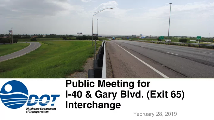
Public Meeting for I-40 & Gary Blvd. (Exit 65) Interchange
February 28, 2019
Public Meeting for I-40 & Gary Blvd. (Exit 65) Interchange - - PowerPoint PPT Presentation
Public Meeting for I-40 & Gary Blvd. (Exit 65) Interchange February 28, 2019 Purpose of the Meeting To Inform the Public and Present the Begin Selected Alternative for I-40 Exit 65 Project in Clinton, OK End Project Purpose of
February 28, 2019
Selected Alternative for I-40 Exit 65 in Clinton, OK
End Project Begin Project
and Mobility
Intersections
and Future Commercial and Residential Development
Commissioned an Interchange Study for I-40/Gary Blvd
Functionality of the I-40 Exit 65 Interchange, and Traffic at Nearby Intersections
2016 in Clinton
Westbound I-40 Access From Both Neptune Blvd. (Exit 65A) and Gary
Open
Frontage Roads
Comments, ODOT Developed two Additional Alternatives to:
Access
Intersections
Alternatives Consisting Mainly of the Alignment of Red Wheat Drive/Gary Blvd
the Following Reasons:
in all Directions from Both Gary Blvd. and Neptune Dr.
Connection to I-40
will Discuss Only Alternative 7
Chapman Rd.
N
Outside Shoulders, 4-ft Inside Shoulders and Grass Median
Dr./Railroad and Neptune Dr. /Railroad
Vehicles/Day (45% Trucks)
Gary Blvd. Chapman Rd.
N
Outside Shoulders, 4-ft Inside Shoulders and Grass Median
Dr./Railroad and Neptune Dr. /Railroad
Vehicles/Day (45% Trucks)
Outside Shoulders, no Inside Shoulders and Grass Median
Vehicles/Day (7% Trucks)
Outside Shoulders, no Inside Shoulders and Grass Median
Vehicles/Day (7% Trucks)
Gary Blvd.
N
Lexington Ave. Oliver Dr.
(2007-2017)
Intersection Included 22% of the Collisions
Gary Blvd. Chapman Rd.
N
Gary Blvd. Red Wheat Dr.
N
Oliver Ave. Lexington Ave. I-40 Access Ramps
Gary Blvd. Chapman Rd.
N
Gary Blvd. Chapman Rd.
N
Residential Commercial Public/Community
Chapman Rd. Lexington Ave. Oliver Ave. Jaycee Ln.
Commercial With a few Residential Areas
and Church Properties are Under Development
Facilities Include:
Include:
Hazardous Materials (e.g. Gas Stations)
roadway along Gary Boulevard and Neptune Drive
(high school tennis courts and trees)
Gary Blvd. Lexington Ave.
Chapman Rd.
N
Oliver Ave. Lexington Dr.
N
N
Champions
N
Exit Ramps Entrance Ramps
N
to see if any Drivers are Traveling in the Roundabout
Traffic, Enter the Roundabout
Approach Your Exit
Again
Turns Onto Ramps
N
Turns Onto Ramps
N
Turns Onto Ramps
N
Estimated at $37.9M
Relocations Anticipated)
Surplus Land
Chapman Rd. Railroad
N
Direction Will Remain Open at Either Gary
be Constructed and Used for Travelers Wanting to go East on I-40
Shifted to one Side With one Lane in Each Direction
Chapman Rd. Railroad
N
Direction Will Remain Open at Either Gary
be Constructed and Used for Travelers Wanting to go East on I-40
Shifted to one Side With one Lane in Each Direction
2nd Public Meeting TODAY Comment Period March 14, 2019 Compile and Review Comments SPRING 2019 Design and Environmental Document 2020 Right-of-Way Acquisition 2020 Construction 2024
ODOT Environmental Programs 200 NE 21st Street Oklahoma City, OK 73102
environment@odot.org
www.odot.org/publicmeetings