
SLIDE 1
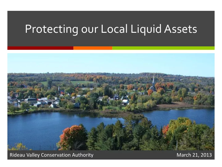
Protecting our Local Liquid Assets
Rideau Valley Conservation Authority March 21, 2013
Protecting our Local Liquid Assets Rideau Valley Conservation - - PowerPoint PPT Presentation
Protecting our Local Liquid Assets Rideau Valley Conservation Authority March 21, 2013 Protecting Watersheds Ontarios Watersheds Eastern Ontario Our Watershed Rideau River Watershed Ottawa Ottawa River West River East Jock River
Rideau Valley Conservation Authority March 21, 2013
Eastern Ontario
Middle Rideau Jock River Lower Rideau Ottawa River West Ottawa River East
Rideau River Watershed
Surface Water Quantity
Surface Water Quality
Groundwater
Aquatic Habitat & Terrestrial Ecology
Source Water Protection
Visit: www.rvca.ca
Planning & Regulations
Wetlands, Shorelines, Floodplains, Fish Habitat
Stewardship
Middle Rideau Jock River Lower Rideau Ottawa River West Ottawa River East
Subwatershed Reports
Lower Rideau Subwatershed
Drainage Area: 765 km2 Length of River: 70.6 kms Catchments:
Kemptville Creek
Drainage Area: 458 km2 Length of River: 63 kms Catchments:
OEMC September 13, 2012
WHPA - C
Prohibit (future):
Manage:
(Risk Management Plan)
WHPA Scored 10
Prohibit (future):
sewers, sewage treatment plants)
Manage:
Practices)
commercial fertilizer, ASM, NASM, outdoor livestock areas (Risk Management Plans)
Sommer Casgrain-Robertson 613-692-3571 Ext 1147 www.rvca.ca sommer.robertson@mrsourcewater.ca www.mrsourcewater.ca