Proposed Natural Resources Plan Schedule J - Significant geological - - PowerPoint PPT Presentation

proposed natural resources plan
SMART_READER_LITE
LIVE PREVIEW

Proposed Natural Resources Plan Schedule J - Significant geological - - PowerPoint PPT Presentation

Proposed Natural Resources Plan Schedule J - Significant geological features in the coastal marine area Titahi Bay fossil forest Schedule K Significant surf breaks Schedule U Trigger levels for river and stream mouth cutting Dr Iain


slide-1
SLIDE 1

Proposed Natural Resources Plan

Schedule J - Significant geological features in the coastal marine area – Titahi Bay fossil forest Schedule K – Significant surf breaks Schedule U – Trigger levels for river and stream mouth cutting

Dr Iain Dawe

White Rock point reef

slide-2
SLIDE 2

Titahi Bay fossil forest

slide-3
SLIDE 3

Statutory requirements

NZCPS 2010 Policy 15 – Natural features and landscapes:

“To protect the natural features and natural landscapes (including seascapes) of the coastal environment from inappropriate subdivision, use and development” Natural features includes: (i) natural science factors, including geological, topographical, ecological and dynamic components

RPS Policy 25 – Identifying outstanding natural features and landscapes in district and regional plans:

“District and regional plans shall identify outstanding natural features and landscapes…” (a) Natural science values including geological, ecological, topographical and natural process components of the natural feature or landscape (b) Representativeness; Research/Educational value; Rarity (c) Be “exceptional” and have a degree of naturalness

slide-4
SLIDE 4

Assessment criteria

There are four main criteria by which the sites have been assessed:

  • The representativeness of the site or feature within the region (rare to common)
  • The integrity of the site or feature, the degree of modification it has experienced and

its potential for protection or restoration (unmodified to heavily modified)

  • The vulnerability of the site or feature to disturbance and its potential for remediation

if it was disturbed (high to low)

  • The scientific merit of the site or feature and the educational opportunities it presents

(local to international)

The sites assessed contain or display one or more of the following significant geological features:

  • Geomorphic landforms (incl. natural processes)
  • Earth deformation/seismic features
  • Structural geology (eg, faults)
  • Sedimentary/Metamorphic/Igneous geology
  • Minerals
  • Fossils
slide-5
SLIDE 5

Schedule J

  • Over 120,000 yrs old
  • Shoreline was several km west

and Mana Is. connected to mainland

  • Titahi Bay low lying valley with

swampy podocarp forest

  • Forest drowned and covered in

sand in last interglacial warm period as sea levels rose (2-4 m higher than present)

  • Sub-fossil tree stumps of rimu,

matai and totara

  • Intermittently uncovered by

erosion when they become vulnerable to damage

  • Internationally uncommon
  • Good example of paleo-

environment for climate research and education

Criteria Value Classification Representativeness 1 Nationally rare Integrity 2 Partly modified Vulnerability 2 Vulnerable Scientific & Educational Value 2 National significance Total 7 Rank 2

slide-6
SLIDE 6
slide-7
SLIDE 7

River and stream mouth cutting

  • Undertaken for the purposes of flood protection and/or

erosion mitigation

  • Mainly for river purposes but naturally involves coastal

concerns eg, dune scarps, threats to private property

  • Streams identified in PNRP schedule U can be cut as a

permitted activity (Rule 193) with conditions

  • Also have cutting triggers that are required to be

exceeded before cutting is allowed to proceed

  • Undertaken by local authorities
slide-8
SLIDE 8

Rule 193 River and stream mouth cutting – permitted activity

The disturbance of the foreshore or seabed for river and stream mouth cutting in the coastal marine area, including any associated: (a) deposition in, on or under the foreshore or seabed, and (b) discharge of contaminants, and (c) diversion of open coastal water

  • the activity shall be carried out for the purposes of flood protection and/or

erosion mitigation

  • the activity shall only be carried out by or for a local authority
  • the activity is only undertaken when the trigger level defined in Schedule U

(river mouth cutting) is equalled or exceeded

  • the foreshore shall not be mechanically disturbed to a depth greater than

required to divert stream flow

  • the activity shall not prevent public access to or along the foreshore
  • any material excavated shall be placed on the immediately adjacent

foreshore area, and no material shall be removed from the site unless the material is contaminated and/or it contains hazardous substances

slide-9
SLIDE 9

Waimeha Stream, Waikanae

slide-10
SLIDE 10

Waitohu Stream - Otaki

54 km2

  • Permitted activity

under operative Regional Coastal Plan - subject to conditions

  • incl. cutting triggers
  • Landowner pressure

led to a 3 yr trial of different cutting triggers in 2006

  • Trial triggers reviewed

in 2009 to assess their effectiveness

slide-11
SLIDE 11

Management Plan

  • New trigger points restricted to

above MHWS

  • New landward trigger line to assist

dune development

  • Implement dune restoration

programme

  • Retain and plant the wetland as a

flood overflow area

  • Aim for 1 cut per annum

maximum and allow stream to meander naturally within envelope

  • Cut channel on northwest

alignment

slide-12
SLIDE 12

Te Rakauwhakamataku point

Significant Surf Breaks

slide-13
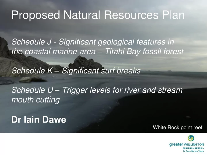
SLIDE 13

Surf breaks - NZCPS direction

Policy 13 Preservation of natural character (1) To preserve the natural character of the coastal environment and to

protect it from inappropriate subdivision, use, and development: (a) avoid adverse effects of activities on natural character in areas of the coastal environment with outstanding natural character including by: (c) assessing the natural character of the coastal environment of the region or district, by mapping or otherwise identifying at least areas of high natural character; and: (d) ensuring that regional policy statements, and plans, identify areas where preserving natural character requires objectives, policies and rules, and include those provisions (2) Recognise that natural character may include matters such as: (c) natural landforms such as headlands, peninsulas, cliffs, dunes, wetlands, reefs freshwater springs and surf breaks;

slide-14
SLIDE 14

Surf breaks – NZCPS definition

NZCPS definition of surf break A natural feature that is comprised of swell, currents, water levels, seabed morphology, and wind. The hydrodynamic character of the

  • cean (swell, currents and water levels) combines with seabed

morphology and winds to give rise to a ‘surfable wave’. A surf break includes the ‘swell corridor’ through which the swell travels, and the morphology of the seabed of that wave corridor, through to the point where waves created by the swell dissipate and become non-surfable [ie, the foreshore]

slide-15
SLIDE 15

PNRP direction

A number of rules in the PNRP reference Schedule K in their conditions particularly those related to dredging and deposition in the CMA because of the effects that these activities can have on surf break features

slide-16
SLIDE 16

Surf break potential impacts

  • Wave breaking is controlled by the morphology of the

seabed

  • Dredging and deposition activities have the potential to

modify the nearshore and foreshore seabed morphology

  • Eg, Harbour dredging proposal
  • Thus we are interested in effects that may occur in these

areas