
SLIDE 1
Presentation will begin at 6:15 P.M. Steele Creek Area Plan - - PowerPoint PPT Presentation
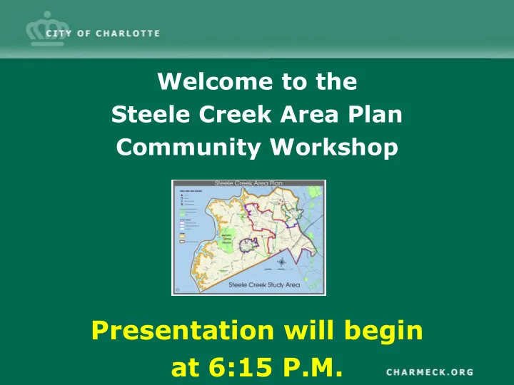
Welcome to the Steele Creek Area Plan Community Workshop Presentation will begin at 6:15 P.M. Steele Creek Area Plan Community Workshop March 25, 2010 6:00 p.m. Meeting Outline Background Information Plan Vision Plan Goals
Community Workshop
March 25, 2010 6:00 p.m.
Meeting Outline
Data Collection & Analysis
2008 - 2009
Public Kickoff Meetings June 23 & 25, 2009 Citizen Advisory Group Meetings Spring / Summer 2010 Review & Adoption Summer / Fall 2010 Advisory Group Meetings August 2009 – March 2010 Community Workshop March 25, 2010 Draft Document Summer 2010 Information Refinement Spring / Summer
Steele Creek Area Plan Boundary
What is an Area Plan?
Development that Updates the Broader, More General District Plans
Should Be Maintained or Changed
Officials in Making Land Use, Zoning, and Capital Investment Decisions
Identify and provide policies to address development
Identify public and private investments needed to achieve vision Possibly recommend zoning changes in appropriate locations Guide more appropriate development
What Can You Expect From an Area Plan?
Create regulations
Provide funding & implementation means overnight Rezone property Halt development But not . . . But not . . . But not . . . But not . . .
Clarify vision for the area
Centers, Corridors and Wedges Growth Framework
– Framework provides “starting point” for developing plan recommendations – The plan area consists of mostly wedges – Includes a large Industrial Activity Center and two Mixed Use Activity Centers – Area plan will help refine centers/wedge boundary
Plan Area: Policy Context
Policy Framework Adopted Land Use Policies
– Residential – Mixed-Use – Design
Adopted Transportation Policies
Community Survey
Spring / Summer 2009
Community Meetings
(Two meetings with over 175 in attendance)
− June 23, 2009 − June 25, 2009
Citizen Advisory Group (CAG)
Steele Creek Likes
Opportunities
Shopping/Restaurants Mixed Use Centers
Family Activities
Land Use Choices
Sense of Place/Community
Community Dislikes
Issues
Insufficient Public Infrastructure Not Enough Trails/Parks Lack of Public Transportation Unsafe for bicycles and pedestrians
Opportunities and Issues
Community Vision
in close proximity
transportation network
community design
green amenities
Natural Environment Goal Goal: Encourage environmentally sensitive land
development practices.
Guiding Principles
1. Protect quality of the area’s water supply. 2. Preserve tree canopy, native plants and open space by incorporating natural features into development. 3. Develop a network of green spaces that include greenways, nature preserves, parks, and open spaces. 4. Balance land use and transportation decisions to minimize air quality impacts.
Public Facilities Goal Goal: Provide public facilities to maintain and improve
service levels to area residents.
Guiding Principles
1. Provide water and sewer capacity to support the area’s anticipated growth. 2. Provide efficient and environmentally sensitive storm drainage facilities. 3. Consider the land use guidance and growth projections in this plan to determine school needs. 4. Provide additional park and open space facilities. 5. Promote the joint use of facilities.
Land Use Goal Goal: Establish a land use pattern that offers a variety of
land uses and the opportunity to live, work and recreate in close proximity.
Guiding Principles
1. Designate areas for low and moderate density residential in appropriate locations. 2. Provide a variety of housing types at varying densities in appropriate locations. 3. Encourage compact, multi–use development pattern with moderate to high density housing in defined Mixed Use Activity Centers. 4. Protect existing employment, office and industrial centers.
Community Design Goal Goal: Encourage sustainable development that promotes
accessibility for pedestrians and cyclists while integrating green amenities and environmentally sensitive features.
Guiding Principles
1. Provide a meaningful amount of usable and accessible common open space and integrate the tree canopy into development. 2. Incorporate or create natural and/or historical elements in development. 3. Improve and provide variations in building architecture, facades and articulation. 4. Design development to encourage pedestrian activity.
Transportation Goal Goal: Strengthen the relationship between land use and
transportation.
Guiding Principles
1. Provide a safe, accessible, and efficient street network for all users. 2. Strategically locate land uses with respect to the planned/future transportation system. 3. Encourage mixed-use developments that support shorter vehicular trips and alternative forms of transportation. 4. Integrate land use and transit choices. 5. Improve area connectivity by providing streets, cross access, internal site circulation, and multiple entrances. 6. Construct pedestrian and bicycle facilities along new and improved roads and greenways.
Plan Development Considerations
Adopted Policies
Center, Corridor and Wedges (CC&W) General Development Policies (GDP) Transportation Action Plan (TAP) Urban Street Design Guidelines (USDG) 2030 Long Range Transportation Plan (LRTP) Mecklenburg County Park and Recreation 10 Year Master Plan: 2008-2018
Community Involvement
Public Meeting Citizen Advisory Group Website (online surveys)
Environmental
Watershed Overlay & Other Regulations Proximity to River (Shoreline Management Guidelines) Tree Canopy Conservation Areas SWIM Buffers Flood Plain Heritage Sites Open Space / Parks / Greenways Contaminated Sites
Land Use
Existing Land Use Existing Zoning Adopted Future Land Use Land Use Accessibility Complementary Land Uses Neighborhood Services Survey Results
Transportation Network
Pedestrian / Bicycle Walkability Street Network Capacity Street Design Opportunity for Connectivity Traffic Counts Level of Service (LOS) & Capacity Congestion Planned Improvements Transit
Market Analysis
Population Trends Development Trends
Infrastructure
Availability of Public Infrastructure Water & Sewer Public Safety
Developing the Vision: Concept Plan
Land Use Transportation Community Design Environment Concept Plan
Sharing Your Ideas
Issue Areas – Steele Creek/Shopton/Brown Grier – S. Tryon Street/York Road
As the Concept plan is explained, think about any questions, ideas,
your thoughts during the community input exercise.
Developing the Vision: Concept Plan
Residential
– Single Family Homes, Townhomes, limited Retail
Mixed Use Activity/Community Centers
Berewick – Mixed/Multi-Use Retail, Office and Residential
– Large Format Retail, Apartment Homes, Townhomes, Storefront Commercial/Retail and Office
and Airport Industrial Center
with supporting retail
– Manufacturing, Warehouse, Flex, Retail, Office
Update Adopted Future Land Use
Instructions
maps.
Public Comments
Citizen Advisory Group Meetings Spring/Summer 2010 Community Meeting Summer/Fall 2010 Plan Review and Adoption Summer/Fall 2010
Next Steps
Follow the process online at: www.charlotteplanning.org For More Information