
SLIDE 1
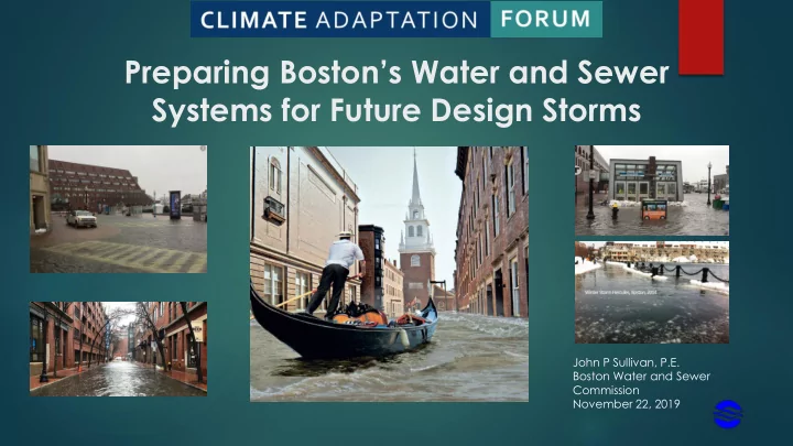
Preparing Boston’s Water and Sewer Systems for Future Design Storms
John P Sullivan, P.E. Boston Water and Sewer Commission November 22, 2019
Preparing Bostons Water and Sewer Systems for Future Design Storms - - PowerPoint PPT Presentation
Preparing Bostons Water and Sewer Systems for Future Design Storms John P Sullivan, P.E. Boston Water and Sewer Commission November 22, 2019 DISCUSSION TOPICS Present Condition & Upgrades to Existing Systems Improved Stormwater
John P Sullivan, P.E. Boston Water and Sewer Commission November 22, 2019
Present Condition & Upgrades to Existing Systems Improved Stormwater and Inundation Modelling Upland Control of Stormwater Coastal Stormwater Discharge Analysis Smart Sewers
Phosphorus: Upper & Middle/Lower Charles River
Update Stormwater Model Create BMP Implementation Plan Implement 3 Pilot Green Infrastructure/Low Impact Development
(“GI/LID”) Projects Central Square, Audubon Circle, City Hall Plaza
Commission does not own land for GI/LID
–
Department of Public Works
–
Department of Transportation
–
Boston Parks and Recreation Department
–
Boston Public Schools
–
Boston Planning and Development Agency
Year 2060 Rain Sea Level Rise, With Storm Surge
Source: CHI Water
Develop improved models to show extent and duration of inundation in major wet weather events
GARR SEPTEMBER 9TH,1999, W/ 2030 SLR GARR JUNE 12TH,1998, W/ 2030 SLR GARR AUGUST 2ND, 2017, W/ 2030 SLR AIRMASS 2-YEAR W/ 2030 SLR AIRMASS 10-YEAR W/ 2030 SLR FRONTAL 10-YEAR W/ 2030 SLR TROPICAL 10-YEAR W/ 2030 SLR FRONTAL 50-YEAR W/ 2030 SLR NOR’EASTER 10-YEAR W/ 2030 SLR NOR’EASTER 50-YEAR W/ 2030 SLR NOR’EASTER 50-YEAR W/ 2030 SLR + 100-YEAR STORM SURGE TROPICAL 100-YEAR W/ 2030 SLR +100-YEAR STORM SURGE NOR’EASTER 100-YEAR W/ 2030 SLR + 100-YEAR STORM SURGE TROPICAL 500-YEAR W/ 2030 SLR + 500-YEAR STORM SURGE
GARR SEPTEMBER 9TH,1999, W/ 2070 SLR GARR JUNE 12TH,1998, W/ 2070 SLR GARR AUGUST 2ND, 2017 W/ 2070 SLR AIRMASS 2-YEAR W/ 2070 SLR AIRMASS 10-YEAR W/ 2070 SLR FRONTAL 10-YEAR W/ 2070 SLR TROPICAL 10-YEAR W/ 2070 SLR FRONTAL 50-YEAR W/ 2070 SLR NOR’EASTER 50-YEAR W/ 2070 SLR + 100-YEAR STORM SURGE NOR’EASTER 100-YEAR W/ 2070 SLR + 500-YEAR STORM SURGE TROPICAL 100-YEAR W/ 2070 SLR +100-YEAR STORM SURGE TROPICAL 500-YEAR W/ 2070 SLR + 500-YEAR STORM SURGE
GARR – Gauge-Adjusted Radar Rainfall Airmass – summer thunderstorm Frontal Storms – advancing warm or cold airmasses Tropical – Hurricanes Nor’easters – Nor’easters
2 4 6 8 10 12 14 1948 1953 1958 1963 1968 1973 1978 1983 1988 1993 1998 2003 2008 2013
Rainfall, in Date
Twenty Largest Storms from 1948 to 2017
using Logan Airport and BWSC Rain Gages
rainfall
atlas 14 storm
Old 10 yr / 24 hr Design Storm = 4.86 in. Atlas 14 - 10 yr / 24 hr Design Storm = 5.15 in.
IMPROVED ESTIMATES OF FUTURE FLOODING DEPTHS AND EXTENTS
DETAILED FLOOD DEPTHS AVAILABLE FOR EXTREMELY SMALLER SUB-AREAS
IDENTIFY AREAS TO DETAIN STORMWATER DURING EXTREME EVENTS AND POSSIBLY PROVIDE TREATMENT DURING MINOR EVENTS
TOP AREAS FOR POSSIBLE STORMWATER DETENTION
STORMWATER DETENTION WITH PHOSPHOROUS TREATMENT CAPABILITIES
AS BY-PASS TO BARRIER
INUNDATION
TRANSPORTATION; IMPACT POTENTIAL EVACUATION CENTERS; IMPACT HEALTH CARE FACILITIES
RESPONDS TO CHANGING RAIN EVENTS