
SLIDE 1
Pre- Hanford Orchard Lands John Sands June 11, 2013 Hanford - - PowerPoint PPT Presentation
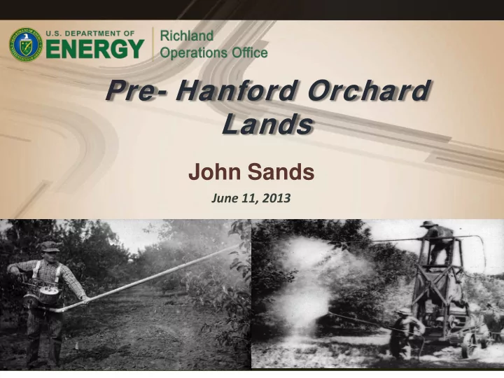
Pre- Hanford Orchard Lands John Sands June 11, 2013 Hanford Advisory Board DOE/RL Update Orchard Lands OU is defined by pre- Hanford orchards in River Corridor 5000 Acres of potential orchard land 2 Hanford Advisory Board DOE/RL Update
2
Hanford Advisory Board DOE/RL Update
3
Hanford Advisory Board DOE/RL Update
4
Hanford Advisory Board DOE/RL Update
5
Hanford Advisory Board DOE/RL Update
6
Hanford Advisory Board DOE/RL Update
7
Hanford Advisory Board DOE/RL Update
8
Hanford Advisory Board DOE/RL Update
Source Arsenic (in mg/kg) Lead (in mg/kg) n Mean Median SD Max n Mean Median SD Max Yokel and Delistraty 2003 31 30 5.7 61 270 31 220 27 460 1900 Delistraty and Yokel 2011 11 39.5 NR 40.6 128 11 208 NR 142 390 HEIS Data(a) 881 8.7 4.0 14 111 825 35 9.8 91 1240 HEIS Data(b) 113 8.0 5.2 7.9 54 78 55 23 98 665 HEIS Data(c) 108 26 15 27 111 109 113 44 173 1240 (a) All HEIS soil samples occurred within the boundaries of the orchards as shown in Figure 1.1. Data were removed if sampling records confirmed a result was not representative of orchard surface soils. For example, sludge collected from the bottom of a sump, or soil in an excavation collected more than 1.5 m below grade did not qualify as surface soil samples. (b) HEIS data from one orchard were used to determine distribution of soil concentrations (Decision Unit OL-IU2-4). (c) HEIS data from one orchard were used to determine distribution of soil concentrations (Decision Unit OL-10). HEIS = Hanford Environmental Information System. Max = Maximum number of samples. n = Number of samples NR = Data not reported. SD = Standard deviation.