
SLIDE 1 CUMBEY & FAIR, INC
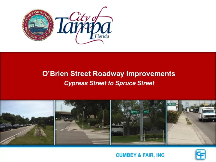
O’Brien Street Roadway Improvements
Cypress Street to Spruce Street
OBrien Street Roadway Improvements Cypress Street to Spruce Street - - PowerPoint PPT Presentation
OBrien Street Roadway Improvements Cypress Street to Spruce Street CUMBEY & FAIR, INC i AGENDA AGENDA PROJECT UNDERSTANDING ROADWAY DESIGN DRAINAGE & PERMITTING MANAGEMENT PLAN PROJECT UNDERSTANDING Project
O’Brien Street Roadway Improvements
Cypress Street to Spruce Street
AGENDA
AGENDA
PROJECT UNDERSTANDING ROADWAY DESIGN DRAINAGE & PERMITTING MANAGEMENT PLAN
PROJECT UNDERSTANDING
Project Understanding
CURRENT TRAFFIC OVERVIEW
northbound left‐turn lanes frequently extended back to the south end of O’Brien St.
Afternoon Peak Dual Northbound left-turn lanes fail Morning Traffic from Veterans Expressway and Courtney Campbell Causeway utilizes Spruce Street Exit
Project Understanding
FUTURE TRAFFIC OVERVIEW
configuration with express lanes
created for planning and discussion proposes as of 12/19/13
significantly improve the traffic on O ‘Brien St.
Afternoon Peak Reo St. to Kennedy
PUBLIC INVOLVEMENT
O’ BRIEN ST SPRUCE STHillsborough County Aviation Authority (HCAA) South Terminal Roadway Design/Build
Project Understanding
Pedestrian & Bike Accommodations
Terminal
Station Area at I-275 along Cypress Street
City of Tampa Future Bike Lanes & Sidewalks Project Westshore Alliance Future Sidewalks Project HCAA Airport Sidewalks & Multi- Use Path Project FDOT Sidewalks & Multi- Use Path Project
RAIL STATION ROADWAY DESIGN
ROADWAY DESIGN
PROJECT LOCATION MAP & EXISTING TYPICAL SECTION
O’ BRIEN ST SPRUCE ST LAUREL ST CYPRESS ST PHASE ONE PHASE TWO ROADWAY DESIGN
Existing Typical Sections
– 3-lane rural roadway – two-way left-turn center lane – Right-of-way width varies (85 ft min) – Existing sidewalk on west
– 2-lane rural roadway – Right-of-way width varies (70 ft min) – No sidewalk
ROADWAY DESIGN
Typical Sections
– 4-lane urban roadway – two-way left-turn center lane – 6 ft. sidewalk on west
– 4-lane urban roadway – two-way left-turn center lane – 6 ft. sidewalk both sides
DRAINAGE & PERMITTING
Stormwater Management Plan
Resurfacing in South Basin
– Lower existing pond control to match adjacent pond – Discharge low areas to Outfall Ditch untreated – Minimize gravity walls – Reduced storm drain construction Permitting
Public Development
MANAGEMENT PLAN
Management Plan
Project Objectives
– Phase One Laurel Street to Spruce Street – Phase Two Cypress Street to Laurel Street
HCAA, Westshore Alliance & other stakeholders
Management Plan
Notice to Proceed Phase II (Plans & ROW Maps) Submittals 268 Date (Documents to Right-of-Way) North Segment (Plans & Maps) Submittals South Segment (Plans & Maps) Submittals 15% Line and Grade Submittal Design Survey Obtain SWFWMD/USACOE Permit Approval Submit SWFWMD/USACOE Permit Application SWFWMD/USACOE Joint Pre-App Meeting 45% Drainage SubmittalPermitting Plan Preparation
2016 2015 2017Project Schedule
Management Plan
Public Workshop April 2016 City of Tampa Commission Meeting May 2016 Working with HCAA EOR on the reconstruction of the Airport Service Road Working with FDOT on the SR 60 @ I-275 Interchange
Requirements)
Submit Permit Application for SWFWMD/USACOE Permit March 2016 Eliminate “New Pond” reconfigure existing pond Lower Tail water elevation with new outfall
ROW requirements For City Review April 2016 Eliminate reconstruction & walls utilize overbuild and widening Livable Communities (Westshore Alliance & HCAA #1 Concern Peds & Bikes)
Questions?
Cumbey & Fair, Inc. is certified as both a Small Disadvantaged Business (SBE) and a Small Business Administration 8(a) Business by the Federal Government.