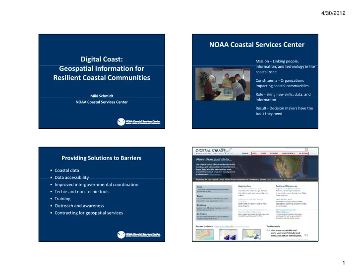

4/30/2012 NOAA Coastal Services Center Digital Coast: • Mission – Linking people, information, and technology in the i f ti d t h l i th Geospatial Information for l f f coastal zone Resilient Coastal Communities • Constituents – Organizations impacting coastal communities • Role – Bring new skills, data, and Miki Schmidt Miki Schmidt information NOAA Coastal Services Center • Result – Decision makers have the tools they need Providing Solutions to Barriers • Coastal data • Data accessibility Data accessibility • Improved intergovernmental coordination • Techie and non ‐ techie tools • Training • Outreach and awareness • Contracting for geospatial services 1
4/30/2012 Digital Coast Contributors Digital Coast Mississippi State Coordinating Council for Oregon Department of Geology Hazard Assessment, Hurricane Preparedness, and Remote Sensing and GIS and Mineral Industries Planning Resources NOAA Texas Natural Resources Information System U.S. Army Corps of Engineers Mississippi Department of U.S. Geological Survey Environmental Quality • Sea Level Rise and Coastal Flooding Impacts Viewer • Sea Level Rise and Coastal Flooding Impacts Viewer F d Federal Emergency Management Agency l E M t A S i Scripps Institution of Oceanography I tit ti f O h U.S. Department of Agriculture Woolpert • Coastal County Flood Exposure Snapshot Environmental Protection Agency University of Texas • Adapting to Coastal Risk Training Northwest Florida Water University of Hawaii Management District Sanborn • Inundation Mapping Training Southwest Florida Water Delaware Department of Natural Resources Management District and Environmental Control • Visualization Software St Johns River Water Management District South Carolina Department of Fugro EarthData Natural Resources • Storm Mapping Tutorial Resources for the Future CNMI Coastal Resource Management Office • Historical Hurricane Storm Tracks Dewberry Florida Division of Emergency Management Maryland Department of Natural Resources PhotoScience • Hazard Assessment Template Minnesota Department of Natural Resources Mauna Kea Soil and Water Conservation District Management Association for Private • Coastal Inundation Toolkit Photogrammetric Surveyors Digital Coast Partnership Digital Coast Partnership Group 2
4/30/2012 Digital Coast Partnership Group Hawaiian Style For More Information www.csc.noaa.gov/digitalcoast Nicholas.Schmidt@noaa.gov 843.740.1237 3
Recommend
More recommend