
SLIDE 1
New USGS Hazard Models & the NEHRP Design Maps Nicolas Luco - - PDF document
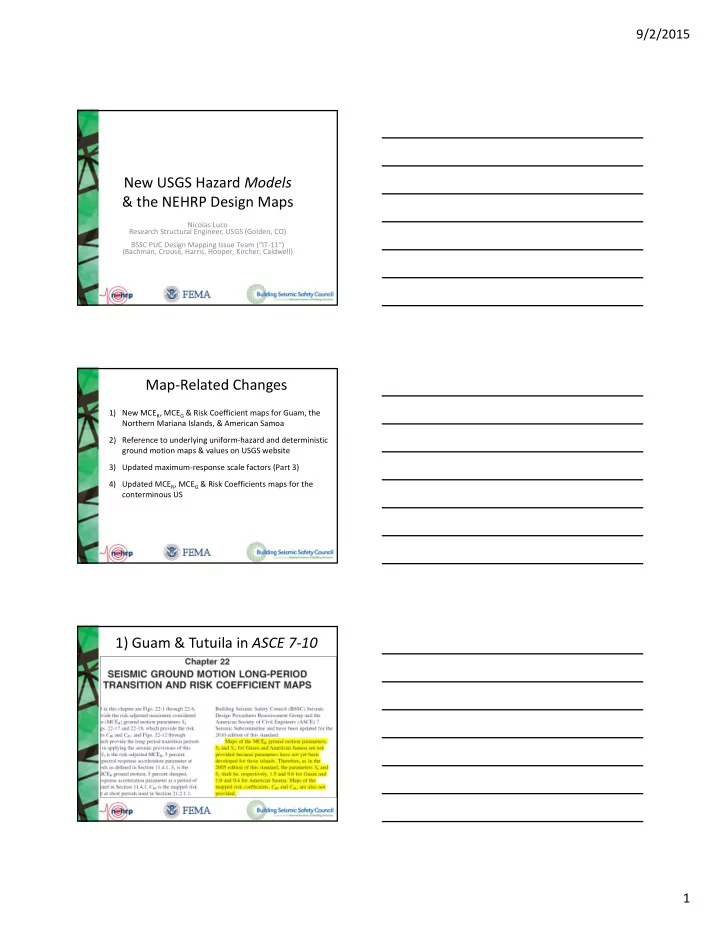
9/2/2015 New USGS Hazard Models & the NEHRP Design Maps Nicolas Luco Research Structural Engineer, USGS (Golden, CO) BSSC PUC Design Mapping Issue Team (IT 11) (Bachman, Crouse, Harris, Hooper, Kircher, Caldwell) Map Related
13° 14° 15° 16° 13° 14° 15° 16°
Northern Mariana Islands Guam
200 150 125 100 90 80 70 6 70 8 100 125 150 90 2 200.2 250.6 288.6 243.9
0.2 Second Spectral Response Acceleration (5% of Critical Damping)
13° 14° 15° 16° 13° 14° 15° 16°
Northern Mariana Islands Guam
25 30 40 50 60 72.3
1.0 Second Spectral Response Acceleration (5% of Critical Damping)
. SS = 287%g . SS = 176%g . S1 = 72%g . S1 = 44%g
Ofu Olosega Ta'u Tutuila Aunu'u Swains Island Rose Atoll
American Samoa
172° 171° 170° 169° 168° 15° 14° 13° 12° 11° 15° 14° 13° 12° 11° 125 1 90 80 70 60 50 40 35 30 60 5 40 25 20 1 5 10 5
0.2 Second Spectral Response Acceleration (5% of Critical Damping) Ofu Olosega Ta'u Tutuila Aunu'u Swains Island Rose Atoll
American Samoa
172° 171° 170° 169° 168° 15° 14° 13° 12° 11° 15° 14° 13° 12° 11° 50 40 30 2 5 20 15 10 8 6 4 1 5 2 15
1.0 Second Spectral Response Acceleration (5% of Critical Damping)
. SS = 40%g . S1 = 15%g
… In comparing the MCER ground motion maps derived from these USGS hazard models to the geographically-constant values stipulated for Guam and American Samoa (Tutuila) in the 2010 and previous editions of ASCE/SEI 7, it is important to bear in mind that the latter were not computed via seismic hazard
the geographically-constant values were merely conversions, via rough approximations, from values on the 1994 Provisions maps that had been in use for nearly 20 years. As such, they did not take into account the 1993 Guam earthquake that was the largest ever recorded in the region and caused considerable damage, the 2009 earthquake near American Samoa that caused a tsunami, nor the 2008 “Next Generation Attenuation (NGA)” and another 2006 empirical ground motion prediction equation that have now been used for both Guam/NMI and American Samoa. …
21.2 RISK-TARGETED MAXIMUM CONSIDERED EARTHQUAKE (MCER) GROUND MOTION HAZARD ANALYSIS … If the spectral response accelerations predicted by the attenuation relations do not represent the maximum response in the horizontal plane, then the response spectral accelerations computed from the hazard analysis shall be scaled by factors to increase the motions to the maximum
metric of the two horizontal components, then the scale factors shall be: 1.1 for periods less than or equal to 0.2 sec; 1.3 for a period of 1.0 sec, and, 1.5 for periods greater than or equal to 5.0 sec, unless it can be shown that other scale factors more closely represent the maximum response, in the horizontal plane, to the geometric mean of the horizontal components. Scale factors between these periods shall be obtained by linear
SARotD100 SARotD50 SARotD100 SAGMRotI50
1 2 3 4 5 6 7 8 9 10 0.8 0.9 1 1.1 1.2 1.3 1.4 1.5
Period (s) Ratio
Proposed ASCE/SEI 7-10 Proposed Shahi & Baker
21.2 RISK-TARGETED MAXIMUM CONSIDERED EARTHQUAKE (MCER) GROUND MOTION HAZARD ANALYSIS … If the spectral response accelerations predicted by the attenuation relations do not represent the maximum response in the horizontal plane, then the response spectral accelerations computed from the hazard analysis shall be scaled by factors to increase the motions to the maximum
metric of the two horizontal components, then the scale factors shall be: 1.1 for periods less than or equal to 0.2 sec; 1.3 for a period of 1.0 sec, and, 1.5 for periods greater than or equal to 5.0 sec, unless it can be shown that
horizontal plane, to the geometric mean of the horizontal components. Scale factors between these periods shall be obtained by linear
2) Fragility curve = 0.8 = 0.6, for consistency with the site‐specific ground motion chapter (Ch. 21) of ASCE 7‐10 1) 2014 USGS National Seismic Hazard Model (including NGA‐West2, UCERF3, CEUS‐SSC)
10
10 10
1
0.1 0.2 0.3 0.4 0.5 0.6 0.7 0.8 0.9 1
Spectral Acceleration (1.0 sec), a [g] P [ Collapse | SA = a ]
= 0.8 = 0.6
Lead(s) Duration Sponsors Central & Eastern US Seismic Source Characterization for Nuclear Facilities (CEUS‐SSC) Consultants 2008‐ 2011 US DOE, EPRI, US NRC Uniform California Earthquake Rupture Forecast, Version 3 (UCERF3) USGS, CGS, SCEC (WGCEP) 2010‐ 2013 CEA Next Generation Attenuation Relations for Western US, Version 2 (NGA‐West2) PEER 2010‐ 2013 CEA, Caltrans, PG&E
Name Latitude Longitude Name Population Los Angeles 34.05
Century City 34.05
Northridge 34.20
Long Beach 33.80
Irvine 33.65
Orange 3,002,048 Riverside 33.95
Riverside 2,026,803 San Bernardino 34.10
San Bernardino 1,999,332 San Luis Obispo 35.30
San Luis Obispo 257,005 San Diego 32.70
San Diego 2,941,454 Santa Barbara 34.45
Santa Barbara 400,335 Ventura 34.30
Ventura 799,720 22,349,098 Population - 8 Counties 21,374,778 Oakland 37.80
Alameda 1,502,759 Concord 37.95
Contra Costa 955,810 Monterey 36.60
Monterey 421,333 Sacramento 38.60
Sacramento 1,233,449 San Francisco 37.75
San Francisco 776,733 San Mateo 37.55
San Mateo 741,444 San Jose 37.35
Santa Clara 1,802,328 Santa Cruz 36.95
Santa Cruz 275,359 Vallejo 38.10
Solano 423,473 Santa Rosa 38.45
Sonoma 489,290 14,108,451 Population - 10 Counties 8,621,978 Total Population - S. California Region City and Location of Site County or Metropolitan Statistical Area 9,948,081 Los Angeles
Northern California Southern California
Total Population - N. California
Name Latitude Longitude Name Population Region City and Location of Site County or Metropolitan Statistical Area Seattle 47.60
King WA 1,826,732 Tacoma 47.25
Pierce WA 766,878 Everett 48.00
Snohomish WA 669,887 Portland 45.50
Portland Metro OR (3) 1,523,690 10,096,556 Population - 6 Counties 4,787,187 Salt Lake City 40.75
Salt Lake UT 978,701 Boise 43.60
Ada/Canyon ID (2) 532,337 Reno 39.55
Washoe NV 396,428 Las Vegas 36.20
Clarke NV 1,777,539 6,512,057 Population - 5 Counties 3,685,005
38.60
2,786,728 Memphis 35.15
Memphis MSA (8) 1,269,108 Charleston 32.80
Charleston MSA (3) 603,178 Chicago 41.85
Chicago MSA (7) 9,505,748 New York 40.75
New York MSA (23) 18,747,320 48,340,918 Population - 57 Counties 32,912,082 Total Population - ID/UT/NV Total Population - MO/TN/SC/IL/NY
CEUS Other WUS Pacific Northwest
Total Population - OR and WA
1 2 3 4 5 6 7 8 9 10 11 12 13 14 15 16 1718 19 20 21 22 23 24 25 2627 28 29 30 31 32 33 34 0.6 0.7 0.8 0.9 1 1.1 1.2 1.3 1.4 1.5 1.6 1.7 1.8 City Location # Proposed ASCE 7-10 Ground Motion Southern California Northern California PacNW IMW CEUS SS (MCER) S1 (MCER) PGA (MCEG) Santa Barbara Las Vegas Irvine San Diego Charleston
1 2 3 4 5 6 7 8 9 10 11 12 13 14 15 16 1718 19 20 21 22 23 24 25 2627 28 29 30 31 32 33 34 0.6 0.7 0.8 0.9 1 1.1 1.2 1.3 1.4 1.5 1.6 1.7 1.8 City Location # Ground Motion Ratio Southern California Northern California PacNW IMW CEUS ASCE 7-10 ASCE 7-05 , SS ASCE 7-10 ASCE 7-05 , S1 ASCE 7-05 ASCE 7-98 , SS ASCE 7-05 ASCE 7-98 , S1
1 2 3 4 5 6 7 8 9 10 11 12 13 14 15 16 1718 19 20 21 22 23 24 25 2627 28 29 30 31 32 33 34 0.6 0.7 0.8 0.9 1 1.1 1.2 1.3 1.4 1.5 1.6 1.7 1.8 City Location # Proposed ASCE 7-10 Ground Motion Southern California Northern California PacNW IMW CEUS SSUH S1UH "PGAUH" Las Vegas Santa Barbara San Diego Charleston
1 2 3 4 5 6 7 8 9 10 11 12 13 14 15 16 1718 19 20 21 22 23 24 25 2627 28 29 30 31 32 33 34 0.6 0.7 0.8 0.9 1 1.1 1.2 1.3 1.4 1.5 1.6 1.7 1.8 City Location # Proposed ASCE 7-10 Risk Coefficient Southern California Northern California PacNW IMW CEUS CRS CR1
1 2 3 4 5 6 7 8 9 10 11 12 13 14 15 16 1718 19 20 21 22 23 24 25 2627 28 29 30 31 32 33 34 0.6 0.7 0.8 0.9 1 1.1 1.2 1.3 1.4 1.5 1.6 1.7 1.8 City Location # Proposed ASCE 7-10 Ground Motion Southern California Northern California PacNW IMW CEUS SSD S1D "PGAD"
1 2 3 4 5 6 7 8 9 10 11 12 13 14 15 16 1718 19 20 21 22 23 24 25 2627 28 29 30 31 32 33 34 0.6 0.7 0.8 0.9 1 1.1 1.2 1.3 1.4 1.5 1.6 1.7 1.8 City Location # Proposed ASCE 7-10 Site Coefficient Southern California Northern California PacNW IMW CEUS Fa Fv FPGA
SDC BC (Red) & CB (Blue) for Site Class D, Risk Category II