
SLIDE 1
U.S. Department of the Interior U.S. Geological Survey
USGS Recent Flood Response Activities for Louisiana Marie Peppler - - PowerPoint PPT Presentation
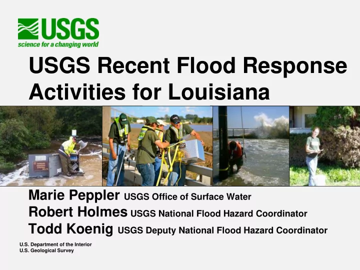
USGS Recent Flood Response Activities for Louisiana Marie Peppler USGS Office of Surface Water Robert Holmes USGS National Flood Hazard Coordinator Todd Koenig USGS Deputy National Flood Hazard Coordinator U.S. Department of the Interior U.S.
U.S. Department of the Interior U.S. Geological Survey
http://water.usgs.gov/floods/events/2016/aug_la/ 591 High-Water Marks 502 sites (371 surveyed as of 9/7) Inundation Maps planned with FEMA Region VI Discharge Computations for Probabilities are in progress
experienced volunteers redirected to collect information about pre-flood conditions in support of FEMA
26,000 points in order to provide accurate location information about where structures (houses, commercial buildings) were located prior to the flood
Dates of collection and number of points collected
kcraun@usgs.gov
From 11:10 to 14:55 around a 13:10 collection time