
SLIDE 1
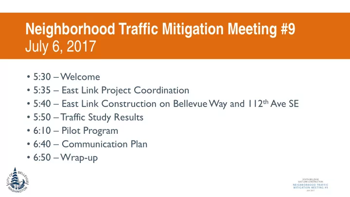
Neighborhood Traffic Mitigation Meeting #9 July 6, 2017
- 5:30 – Welcome
- 5:35 – East Link Project Coordination
- 5:40 – East Link Construction on Bellevue Way and 112th Ave SE
- 5:50 – Traffic Study Results
- 6:10 – Pilot Program
- 6:40 – Communication Plan
- 6:50 – Wrap-up