
SLIDE 1
June 1, 2016 Shady Hill School Gym
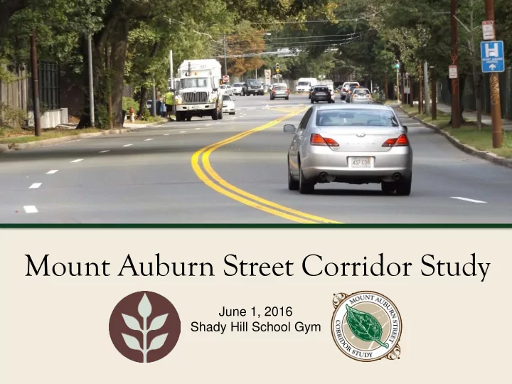
Mount Auburn Street Corridor Study June 1, 2016 Shady Hill School - - PowerPoint PPT Presentation
Mount Auburn Street Corridor Study June 1, 2016 Shady Hill School Gym Commonwealth of Massachusetts Governor Charles D. Baker Lieutenant Governor Karyn E. Polito Energy and Environmental Secretary Matthew A. Beaton Department of
June 1, 2016 Shady Hill School Gym
Mount Auburn Street Corridor Study
Governor
Lieutenant Governor
Energy and Environmental Secretary
Department of Conservation and Recreation Commissioner
Mount Auburn Street Corridor Study
Mount Auburn Street Corridor Study
Mount Auburn Street Corridor Study
Mount Auburn Street Corridor Study
Mount Auburn Street Corridor Study
– Environmental Review – Historic status – Funding Requirements – Regional Needs
Mount Auburn Street Corridor Study
Mount Auburn Street Corridor Study
Mount Auburn Street Corridor Study
Mount Auburn Street Corridor Study
Mount Auburn Street Corridor Study
Mount Auburn Street Corridor Study
Mount Auburn Street Corridor Study
Mount Auburn Street Corridor Study
Mount Auburn Street Corridor Study
Mount Auburn Street Corridor Study
Mount Auburn Street Corridor Study
Mount Auburn Street Corridor Study
Mount Auburn Street Corridor Study
Mount Auburn Street Corridor Study
Mount Auburn Street Corridor Study
Mount Auburn Street Corridor Study
Mount Auburn Street Corridor Study
Mount Auburn Street Corridor Study
Mount Auburn Street Corridor Study
Mount Auburn Street Corridor Study
Mount Auburn Street Corridor Study
– Discussion of shared goals, and potential feasibility of road diets – All are welcome, but space is limited
– Discussion of proposed long and short term improvements
Mount Auburn Street Corridor Study
– www.mass.gov/dcr/mt-auburn-corridor-study
– Submit online: – http: / / www.mass.gov/ eea/ agencies/ dcr/ public-outreach/ subm it-public- comments/
– Write: Department of Conservation and Recreation Office of Public Outreach 251 Causeway Street, Suite 600 Boston, MA 02114 – Deadline (pertaining to this meeting): Wednesday, 6/ 15/ 16
entirety.
– Project Wikimap: www.wikimapping.com/wikimap/mtauburn.html – If you have questions, please email: MaryCatherine.McLean@massmail.state.ma.us