
SLIDE 1
June 23, 2016 Russell Youth Community Center
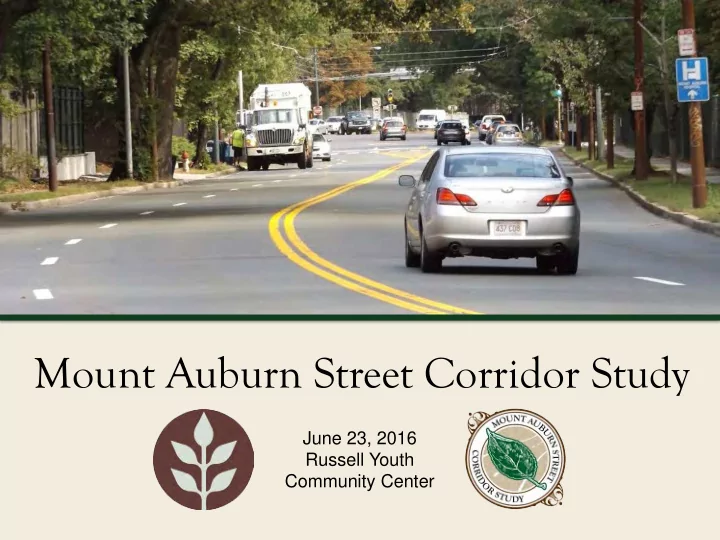
Mount Auburn Street Corridor Study June 23, 2016 Russell Youth - - PowerPoint PPT Presentation
Mount Auburn Street Corridor Study June 23, 2016 Russell Youth Community Center Commonwealth of Massachusetts Governor Charles D. Baker Lieutenant Governor Karyn E. Polito Energy and Environmental Secretary Matthew A. Beaton Department of
June 23, 2016 Russell Youth Community Center
Mount Auburn Street Corridor Study
Governor
Lieutenant Governor
Energy and Environmental Secretary
Department of Conservation and Recreation Commissioner
Mount Auburn Street Corridor Study
Mount Auburn Street Corridor Study
Mount Auburn Street Corridor Study
Mount Auburn Street Corridor Study
Mount Auburn Street Corridor Study
submitted
Mount Auburn Street Corridor Study
Mount Auburn Street Corridor Study
Fresh Pond Pkwy at Mount Auburn St. Brattle St. at Mount Auburn St.
Mount Auburn Street Corridor Study
Fresh Pond Pkwy at Larch Rd. Mount Auburn St. south of Brattle St. Mount Auburn St. at Gerry’s Landing Rd.
Mount Auburn Street Corridor Study
Mount Auburn Street Corridor Study
“Left turn from Mt Auburn to Brattle is challenging to make (for both bikes and cars).” “I Agree, I have never biked
here due to how stressful it
Auburn Street onto Brattle is still pretty bad, although
generally ok.” 7 “Likes” in support of comment
Mount Auburn Street Corridor Study
Values are traits or qualities that are considered worthwhile; they represent our highest priorities and deeply held driving forces. Goals are an expected or desired outcome of a planning process. Goals are usually broad, general expressions of the aspirations of a community.
Mount Auburn Street Corridor Study
Coolidge Hill Neighborhoods.
such as BB&N, Shady Hill, Mt. Auburn Cemetery and Mt. Auburn Hospital
Mount Auburn Street Corridor Study
1. Reduce crashes and severity of crashes. 2. Measuring people, not cars. 3. Improve transit delays. 4. Improve safety, attractiveness, noise, and comfort for pedestrians and residents. 5. Improve safety, access, parking and comfort for bicycles. 6. Reduce cut-through traffic in the Larchwood, Huron Village, and Coolidge Hill Neighborhoods. 7. Maintain mobility for motor vehicles. 8. Offer short-term and long-term solutions. 9. Acknowledge special uses by BB&N, Shady Hill, Mt. Auburn Cemetery, Tufts Health Plan, and Mt. Auburn Hospital.
Mount Auburn Street Corridor Study
– Left turn into Larchwood from Fresh Pond Parkway – Brattle intersection disorganized
– Green arrow left problem at Aberdeen – Lanes at Fresh Pond and Mt. Auburn disorganized
– Slow down Fresh Pond Parkway – Slow down Mt. Auburn Westbound between Fresh Pond Parkway and Brattle Street.
Mount Auburn Street Corridor Study
– Design for everyone’s needs, including the disadvantaged.
– Designs responsive to:
– Try to balance goals that may conflict.
Mount Auburn Street Corridor Study
in the design - including highlighting (if not encouraging) alternate routes at more distant points.
Mount Auburn Street Corridor Study
Mount Auburn Street Corridor Study
(neighborhood, short term). Or…
traffic flow (planet, long term).
Mount Auburn Street Corridor Study
“In summary, the relationship between congestion and vehicle emissions is complex. The amount of emissions from vehicles traveling under congested conditions depends on the distribution of vehicle operating speeds and accelerations, and the relations are
highest at very low speeds, are moderate in the mid-speed ranges, and rise again at high speeds. These patterns suggest that projects designed to relieve highly congested stop-and-start traffic will reduce emissions, at least in the short term.” –FHWA SAFETEA-LU Research, Section 3
Mount Auburn Street Corridor Study
“Induced demand, or latent demand, is the phenomenon that after supply increases, more of a good is consumed.”
Mount Auburn Street Corridor Study
Mount Auburn Street Corridor Study
“…any type of empirical measurement, especially if it is intended to determine the long-term impacts of transportation facility changes, would need to be conducted over a substantial period of time. This period may need to last at least 10 years after the change has been fully implemented, which would lead, in many cases, to a total period
transportation improvements on urban form in already built urban areas suggest that the long-term impacts will be hard to distinguish from other factors.”—NCHRP Report 535
Mount Auburn Street Corridor Study
Mount Auburn Street Corridor Study
– Major Health Concern (lungs)
– Smallest is most harmful, cardiovascular
– Chemicals that form Ozone – Cancer, reproductive toxicity
– A gas harmful to respiratory function
– Poisonous Gas, very harmful at high levels – 77% from Transportation
– Harmful at high levels – Lead-Free gas has reduced levels.
Mount Auburn Street Corridor Study
Mount Auburn Street Corridor Study
Mount Auburn Street Corridor Study
Mount Auburn Street Corridor Study
“In the absence of pricing or rationing, the primary incentive for individual motorists to travel is guided by the costs each experiences directly, known as private costs—vehicle operating expenses and the value of that driver’s travel time….if delays become bad enough, some motorists will change their behavior even in the absence of pricing, by either changing the times of their trips
to reduce congestion appreciably without additional incentives (TRB 1994, 28)..” –FHWA SAFETEA-LU Research, Section 3
Mount Auburn Street Corridor Study
"You're going to come
and then you're just going to end up in that same traffic jam approaching the Oak Street Bridge that you're always in,”
Malcolm Brodie. "It's a challenge to absorb the kind of car traffic that comes in on these freeways, and that's why the region has been more focused on getting transit built,“ - Vancouver Mayor Gregor Robertson.
Mount Auburn Street Corridor Study
Mount Auburn Street Corridor Study
Mount Auburn Street Corridor Study
flow/supply (neighborhood, short term). Or…
traffic flow/supply (planet, long term).
Mount Auburn Street Corridor Study
short term. Or…
traffic in the long term and offer other mobility choices.
Mount Auburn Street Corridor Study
1. Reduce crashes and severity of crashes. 2. Improve air quality and mobility choices by: a. Measuring people, not cars.
c. Improving safety, access, parking and comfort for bicycles.
e. Improving safety, attractiveness, noise, and comfort for pedestrians and residents. 3. Address cut-through traffic in the Larchwood, Huron Village, and Coolidge Hill Neighborhoods. 4. Offer short-term and long-term solutions. 5. Acknowledge special uses by BB&N, Shady Hill, Mt. Auburn Cemetery, Tufts Health Plan, and Mt. Auburn Hospital.
Mount Auburn Street Corridor Study
– Design for everyone’s needs, including the disadvantaged.
– Designs responsive to:
– Try to balance goals that may conflict.
Mount Auburn Street Corridor Study
– Buses aren’t delayed by parking or loading vehicles if well enforced. – Special design attention must be given to right turns.
Mount Auburn Street Corridor Study
– Basic bicycle access when no space is available for dedicated bikeways. – Increased space and visibility for active street users while improving transit service reliability. – Limited to bus lanes with
mph or less, and transit headways of 4 minutes or longer.
Mount Auburn Street Corridor Study
Transit Signal Priority Technology
Mount Auburn Street Corridor Study
Right Turn Pocket Lane
Mount Auburn Street Corridor Study
Queue Jump Lanes
Mount Auburn Street Corridor Study
Mount Auburn Street Corridor Study
Mount Auburn Street Corridor Study
Mount Auburn Street Corridor Study
Mount Auburn Street Corridor Study
Nonan antum Road
4 4
Previous Condition
River (Width Varies)
Final Condition
Roadway and Path
Mount Auburn Street Corridor Study
42% reduction Total Crashes, 64% reduction Injury Crashes per year
Mount Auburn Street Corridor Study
Mount Auburn Street Corridor Study
– Discussion of proposed long and short term improvements
Mount Auburn Street Corridor Study
– Submit online at: http://www.mass.gov/eea/agencies/dcr/public-
– Write: Department of Conservation and Recreation, Office of Public Outreach, 251 Causeway Street, Suite 600, Boston, MA 02114 – Deadline (pertaining to this meeting): Thursday, 6/30/16
website in their entirety.
MaryCatherine.McLean@massmail.state.ma.us