
SLIDE 1
Modeling and Mapping Science for Kids and the General Public: Relevant Work
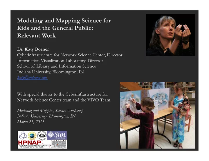
- Dr. Katy Börner
Cyberinfrastructure for Network Science Center, Director Information Visualization Laboratory, Director School of Library and Information Science Indiana University, Bloomington, IN katy@indiana.edu With special thanks to the Cyberinfrastructure for Network Science Center team and the VIVO Team. Modeling and Mapping Science Workshop Indiana University, Bloomington, IN March 21, 2011