
SLIDE 1
Highway 63 Functional Planning Study
From Township Road 642 to Highway 55
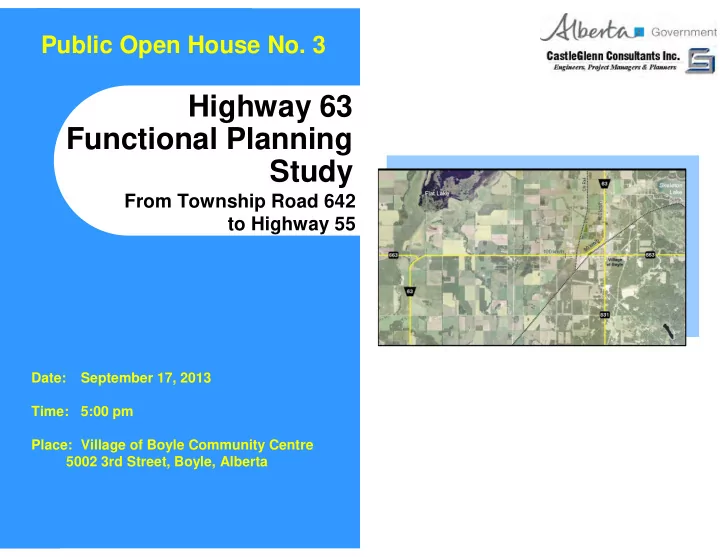
Date: September 17, 2013 Time: 5:00 pm Place: Village of Boyle Community Centre 5002 3rd Street, Boyle, Alberta
Highway 63 Functional Planning Study From Township Road 642 to - - PowerPoint PPT Presentation
Public Open House No. 3 Highway 63 Functional Planning Study From Township Road 642 to Highway 55 Date: September 17, 2013 Time: 5:00 pm Place: Village of Boyle Community Centre 5002 3rd Street, Boyle, Alberta Objectives Objectives
Date: September 17, 2013 Time: 5:00 pm Place: Village of Boyle Community Centre 5002 3rd Street, Boyle, Alberta
Twinning to the east avoids Fortis Utilities and allows for construction of new 4.5m NB Hwy 63 lane 2.9km R 2200 curve with 2.5% superelevation at intersection An acceptable 3.6% super elevation is maintained on the rail structure Average intersection spacing along Hwy 63 is 3.0 km Proposed service road network leaves no land locked properties R 2200 curve with 2.5% superelevation at intersection Hwy 63 intersection provides direct connection to Hwy 831 2.7km 3.2km 3.2km 2.3km
Purple lines illustrated service roads constructed at Expressway stage. Black lines depict service roads constructed at Freeway Stage. Next interchange south is located 20km away at Twp Rd 640. CN structure accommodates service road below structure to provide access to Miller Western. Interchange at Twp Rd 640 located 6.5 km south of Twp Rd 644. Hwy 55 interchange is located 16 km north
16 32 37 9 27 34 44 42 36 34 10 22 31 14 7 2 3 7 9 10
Potential Developable Area: 437 ha – Industrial 139 ha – Commercial 91 ha – Future
7 32 ha 12 20 5 40 4 4 20 40 14 10 15 15 10 2 2
Radio Cell Tower Alberta Oilsands Pipeline Ltd. Pump Station Site
Skeleton Lake Boyle
Alignment 60m east of RR 192 and 1.6km E of Hwy 831 The distance between the interchange and the rail structure must be separated by 1.1-to-1.3km
(500m from top of Rail Structure & 800m to ramp) to meet sight line requirements
from the top of the CN Rail structure to the beginning of the interchange ramp.
R1600 Radius Deficient: The maximum achievable radius is R1600. This is below the R2200-to-R3000 radius needed for freeway facilities. At- grade intersections can’t be accommodated along its length. CN Rail Structure – Crossing at near 90o The maximum achievable radius is R2400 to the north. Crude Oil Pipeline (559 / 609mm) Alberta Oil Sands Pipeline Ltd. Overburden from Rail Structure. Natural Gas Pipeline (60.3mm) Village of Boyle Natural Gas Pipeline (406mm) Nova Gas Transmission Line
Major Design & Utility Constraints are Evident
The closer the interchange is pushed to the west, the tighter the radius becomes and more deficient. (See green line with R1400)
Skeleton Lake
Microwave Tower Site
Boyle
Length of Hwy 663 Realignment is approximately + 2.7km.
Wastewater Treatment Lagoons Alberta Oilsands Pipeline Ltd. Pump Station Site
R600
Hwy 831
Existing Hwy 63 Corridor would be Cul-de-Sac’d. 0.7 km 1.5 km Hwy 831 could be extended to the northwest to connect back to the Hwy 663 corridor.
Rail Crossing Required.
West Ramp Terminal leads directly into/out of Boyle. Approx 400m extension. 0.7 km 14.8 km to Hwy 55 14.9 km to Hwy 55
R3000m Radius 85o Angle with CN Rail Crossing R2500m Radius Hwy 663E Cul-de- Sac’d on both sides 80o Angle with Hwy 663E
The distance between the interchange and the rail structure must be separated by 1.1-to-1.3km to meet sight line requirements from the top of the CN Rail structure to the beginning of the interchange ramp.
Skeleton Lake
Alberta Oilsands Pipeline Ltd. Pump Station Site Microwave Tower Site
Boyle
Length of Hwy 663 Realignment is approximately 4.4km.
Structure over Rail Corridor to connect Hwy 663 to interchange. 80o angle with Railway depicted. Hwy 663 E Cul-de-Sac’d to avoid intersection on curve. Existing Rge Rd 192 Cul-de-Sac’d
intersection on curve. R600 Radius R650 Radius New RR 192 intersection spaced between curve and CN railway would be approximately 0.8km.
Hwy 831
80o angle with Railway necessary to assure crossing of creek in viable locations. Creek realignment may be necessary.
1.6 km 2.3 km 2.4 km These alignments
(6.3km) would revert to
the County as they no longer serve a Highway purpose.
“A” to “F”).
Boyle
Hwy 63 Hwy 831 CN Rail
B E F
Thorhild County Athabasca County
Cone 3 C Cone 2 D
South of Hwy 663 9.18 7.89 13.25 Option “B” 14.09 7.06 9.44 Option “D” 17.34 7.06 7.78 Option “F” Well-Drained Soils Poorly- Drained Soils Fen Bog Soils Roadway Segment
North of Hwy 663 – Option “F” 6.07 1.9 New Service Roads 1.37 2.36 Hwy 663 (East of Hwy 63) 1.57 1.53 Hwy 663 (West of Hwy 63) 0.38 km2 0.04 km2 Interchange Footprint 3.63 0.89 New Hwy 63 North of 663 Well-Drained Soils Poorly- Drained Soils Roadway Segment
Legend Wetland Option “B”, “D” and “F” Option “3-a” Key Wildlife and Biodiversity Zone
Possible Interchange Site Hwy 831 Realignment
(where 3 ha of equivalent wetland is restored for each hectare of natural wetland impacted).
3.3 km 1.8 km
Boyle CN Rail CN Rail
Option “F”
Option “3-a”
It is assumed that when Hwy 63 would be twinned to the south of Boyle that a new rail grade separated structure would be required and the horizontal curves improved. Twp Rd 624
Option “3-a”
Boyle
Boyle Old Hwy 63 Hwy 831 C N R a i l New Hwy 63
Twp Rd 622 Twp Rd 642 Twp Rd 634 Twp Rd 644 Twp Rd 640(Ellscott) Twp Rd 640A
1 2 3 4 5 6 7 8 9 12 10 11 13
Thorhild County Athabasca County
2.
3.
4.
5.
6.
7.
8.
9.
ES = East Side of Corridor WS = West Side of Corridor TR = Township Road RR = Range Road
Boyle Old Hwy 63 Hwy 831 C N R a i l New Hwy 63
Twp Rd 622 Twp Rd 642 Twp Rd 634 Twp Rd 644 Twp Rd 640(Ellscott) Twp Rd 640A Twp Rd 621 Twp Rd 622
8 9 6 5 4 2 3 1 7
Hwy 661
10 11
Twp Rd 631A
Thorhild County Athabasca County
Boyle
Hwy 63 Hwy 831 CN Rail Hwy 55 Ellscott Newbrook
Interchange may be required at Ellscott Insufficient interchange spacing.
32.3 24.2 Length of existing Hwy 831 & Hwy 63 incorporated into design (km)
236 66 Area through farmland (acres) 1 3 4 Number of interchanges required over alignment length
4 3 Number of 2-lane rail grade separations required 4 3 + 1B 6 or 7 Number of creek crossings required
No Is Boyle visible for northbound traffic? $163M $434M6 $597M5 Total conceptual level costing ($M) 4478 1918 7.7 4.8 n/a4 20.02 14.0 53.0 Option “3-a” 0.6 km 8.3 Length of old highway that would revert to Thorhild County (km) 11.1 km 31.11 Distance to next interchange to south (km) 6.6 7197 2157 9.5 7.5 14.0 48.7 Option “F” 6.6 km Length through key wildlife and biodiversity zone (km) 4.3 km Length of new 4-lane alignment (km) 0 km Distance between Boyle interchange and Hwy 55 interchange (km) 7.5 km Length of Hwy 663 realignment (km) 4.7 km Length of old highway that would revert to Athabasca County (km) 24 ac Area through wetlands (acres) 272 ac Area through organic/poorly-drained soils (acres)
Difference
(“F” minus “3-a”)
[Hwy 55 to Twp Rd 621:1.6 km N of Hwy 661 Newbrook]
Highway 831
Total Cost
Highway 663
Highway 63
(AMEC Solution)
Interchange and the theoretical interchange near the railway crossing needed to tie old Hwy 63 back to the new alignment.);
longer serve a highway function);