
SLIDE 1
EARTHQUAKES VOLCANOES MUD FLOWS HEAT WAVES
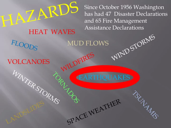
Since October 1956 Washington has had 47 Disaster Declarations and 65 Fire Management Assistance Declarations
HEAT WAVES MUD FLOWS VOLCANOES EARTHQUAKES Thurston County has - - PowerPoint PPT Presentation
Since October 1956 Washington has had 47 Disaster Declarations and 65 Fire Management Assistance Declarations HEAT WAVES MUD FLOWS VOLCANOES EARTHQUAKES Thurston County has three types of Earthquakes: 1. Subduction Zone - Cascadia 2.
Since October 1956 Washington has had 47 Disaster Declarations and 65 Fire Management Assistance Declarations
Geologic history shows that the Cascadia Subduction Zone shakes about every 200 to 500 years. Last time was January 26, 1700 at 9:00 PM, 314 years ago. When will it happen again?
The Jan de Fuca plaate subducts under the North America plate along the Cascadia subduction zone, labeled “Deformation Front” in this diagram.
Intraplate Earthquakes or Deep Earthquakes 1949, 1965, and 2001 are examples for Thurston County
HAZUS is a nationally applicable standardized methodology that contains models for estimating potential losses from earthquakes, floods, and hurricanes. HAZUS uses Geographic Information Systems (GIS) technology to estimate physical, economic, and social impacts of disasters.
PATTERNS – The colors represent the probability that a structure will be completely damaged.
< Olympia 1949 Olympia, 2001 >
about 1,300 people. In a Cascadia earthquake about 500 from Thurston County, but about 11,000 from the coast.
Nisqually – 1,373 Leaks, 343 Breaks, 11,091 at 7 days Cascadia – 1,373 Leaks, 343 Breaks, 11,091 at 7 days Olympia – 1,373 Leaks, 343 Breaks, 11,091 at 7 days For waste water the patterns is the same: 690 Leaks, 172 Breaks. HAZUS uses 2,963 miles of water and 1,778 miles of waste