
SLIDE 1
Russ Jones
Manager, Marine Planning Council of the Haida Nation russ.jones@haidanation.com Atlantic Policy Congress – Indigenous Protected Areas Workshop
- Halifax. 29 March 2017.
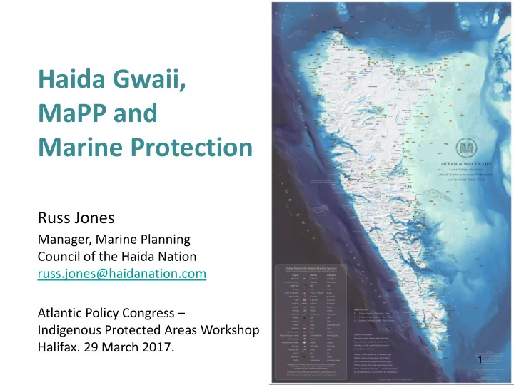
Haida Gwaii, MaPP and Marine Protection
1