Groundwater Source Update Department of Planning, Industry & - - PowerPoint PPT Presentation

groundwater source update
SMART_READER_LITE
LIVE PREVIEW

Groundwater Source Update Department of Planning, Industry & - - PowerPoint PPT Presentation

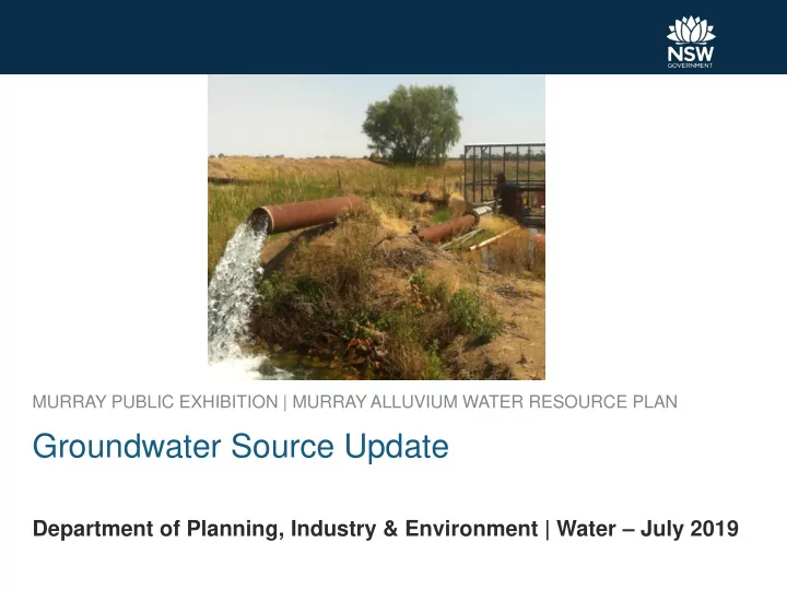
MURRAY PUBLIC EXHIBITION | MURRAY ALLUVIUM WATER RESOURCE PLAN Groundwater Source Update Department of Planning, Industry & Environment | Water July 2019 Groundwater sources of the Murray Alluvium water resource plan Page 2 Lower Murray


slide-1
SLIDE 1

Department of Planning, Industry & Environment | Water – July 2019

MURRAY PUBLIC EXHIBITION | MURRAY ALLUVIUM WATER RESOURCE PLAN

Groundwater Source Update

slide-2
SLIDE 2

Groundwater sources of the Murray Alluvium water resource plan

Page 2

slide-3
SLIDE 3

Lower Murray Cross Sectional Map

Page 3

slide-4
SLIDE 4

Cross Section A Swan Hill to near Corowa

Page 4

slide-5
SLIDE 5

Cross Section B Echuca to Jerilderie

Page 5

slide-6
SLIDE 6

Existing Access Licenses & Extraction Limit – Lower Murray Deep

Page 6

Access License Category Number of Licenses Share Component Aquifer 345 84,710 Local Water Utility/Town Water Supply 4 79

Existing extraction limit: 83,700 ML/year Existing extraction limit including BLR: 85,225 ML/year

slide-7
SLIDE 7

Existing Access Licenses & Extraction Limit – Lower Murray Shallow

Page 7

Access License Category Number of Licenses Share Component Aquifer 258 57,653 Local Water Utility/Town Water Supply 2 87 Salinity and Watertable Management 2 20,010

Existing extraction limit including BLR: 81,893 ML/year

slide-8
SLIDE 8

Groundwater Trading – Lower Murray Deep

Page 8

Year Allocation assignment dealings (71T) Share Component assignment dealings(71Q) number volume (ML) number volume (ML) 2015-16 207 35,055 5 1,011 2016-17 68 14,748 11 2,650 2017-18 149 29,782 4 798 Year Allocation assignment dealings (71T) Share Component assignment dealings(71Q) number volume (ML) number volume (ML) 2015-16 2016-17 1 360 2017-18 1 360

Groundwater Trading – Lower Murray Shallow

slide-9
SLIDE 9

Extraction and Long Term Average Annual Extraction Limit (LTAAEL) – Lower Murray Deep

Page 9

slide-10
SLIDE 10

Water Source Overview (Usage Distribution)

Page 10

slide-11
SLIDE 11

Monitoring Bore Locations

Page 11

GW036743 GW036586

slide-12
SLIDE 12

Hydrograph – GW036823 Swan Hill

Page 12

slide-13
SLIDE 13

Hydrograph – GW036765 Womboota

Page 13

slide-14
SLIDE 14

Hydrograph – GW036742 Deniliquin

Page 14

slide-15
SLIDE 15

Hydrograph – GW036743 Blighty

Page 15

slide-16
SLIDE 16

Hydrograph – GW036586 Blighty

Page 16

slide-17
SLIDE 17

Hydrograph – GW036638 Urana

Page 17

slide-18
SLIDE 18

Hydrograph – GW036352 Lowesdale

Page 18

slide-19
SLIDE 19

Conclusions

Page 19

  • Water levels have recovered to pre WSP levels by 2010/11 after a

period of decline, particularly in Deniliquin – Finley area. Recovery is related to wet years and low extractions. Since 2010/11, levels have remained stable and but have began to decline since 2016.

  • The large drawdowns (18m Deniliquin; 21m Blighty) in monitoring

bores are indicative of areas of significant groundwater extractions.

  • Annual groundwater extractions have not exceeded the Long Term

Average Annual Extraction Limit (LTAAEL) in Lower Murray deep groundwater source except in 2018/19. The rolling average has not yet been exceeded.

  • Annual groundwater extractions of the Lower Murray Shallow water

source were between 1,200 ML and 7,400 ML from 2012/13 to 2017/18 (limited metering).

  • Temporary (71T) and permanent trading (71Q) within the deep

groundwater source remains active. Temporary trading in the shallow water source has been very limited and no permanent trade (71Q dealings) has taken place.