
SLIDE 1
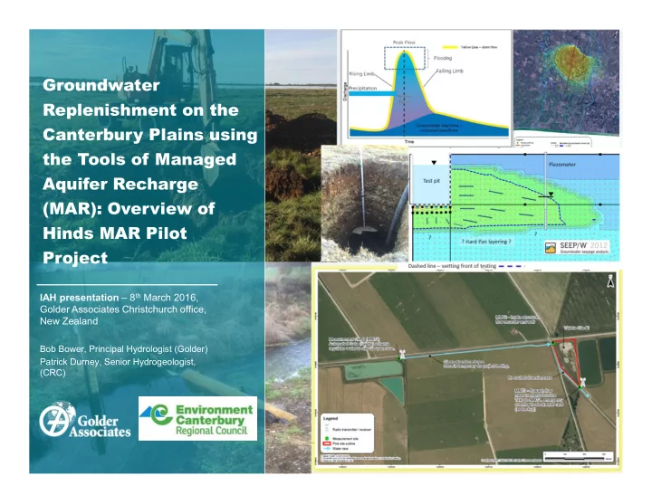
Groundwater Replenishment on the Canterbury Plains using the Tools of Managed Aquifer Recharge (MAR): Overview of Hinds MAR Pilot Project
IAH presentation – 8th March 2016, Golder Associates Christchurch office, New Zealand
Bob Bower, Principal Hydrologist (Golder) Patrick Durney, Senior Hydrogeologist, (CRC)