
SLIDE 1
Graham Saunders Weather Works Outline Weather conditions of - - PowerPoint PPT Presentation
Graham Saunders Weather Works Outline Weather conditions of evening of May 27 Summary of heavy rain event May 28 Antecedent moisture conditions and overland flow 50 -100-year events (IDF curves) Rainfall measurement:
Slide 3
Weather conditions of evening of May 27 Summary of heavy rain event – May 28 Antecedent moisture conditions and overland flow 50 -100-year events (IDF curves) Rainfall measurement: potential errors Historical Storms CIMA Report Discussion
Slide 4
Slide 7
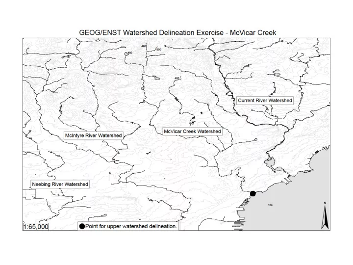
Slide 8
Slide 10
SEVERE THUNDERSTORM WARNING, ISSUED BY ENVIRONMENT CANADA AT 1:27 AM EDT MONDAY 28 MAY 2012.
=NEW= CITY OF THUNDER BAY =NEW= ATIKOKAN - SHEBANDOWAN - QUETICO PARK =NEW= SUPERIOR WEST.
A LINE OF NEARLY STATIONARY THUNDERSTORMS STRETCHES ALONG HIGHWAY 11 TO THE WEST TO THUNDER BAY INTO THE CITY OF THUNDER BAY ITSELF. LOCAL RAINFALL AMOUNTS OVER 50 MM ARE EXPECTED BEFORE THE HEAVIEST RAIN TAPERS OFF IN THE NEXT HOUR OR TWO. HOWEVER, MORE RAIN IS STILL EXPECTED DURING THE NIGHT AND MONDAY. …
Slide 19
Rain intensity exceeds
100-year return
Rain gauge location Wind
Mechanical errors
Average hourly rate: Total divided by storm duration (see page 22)
23
Flooding Started Here
24
25
26
Typical Night Flow (50-60 ML/d) Typical Day Flow (70-80 ML/d)
27
28