SLIDE 1
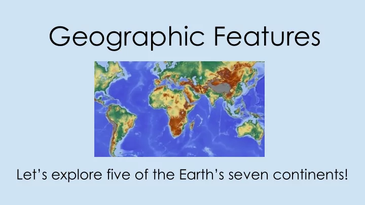
Geographic Features
Let’s explore five of the Earth’s seven continents!
SLIDE 2
Continents
Africa, Asia, Europe, North America, South America
SLIDE 3 Geographic Features
Rivers, Seas, Lakes, Mountains, Deserts, Peninsulas, Rainforests
SLIDE 4
Continent Resources
This Photo by Unknown Author is licensed under CC BY-SA
SLIDE 5
North America
The Appalachian Mountains stretch from Canada to Alabama.
SLIDE 6
North America
The Rocky Mountains go from Canada to New Mexico.
SLIDE 7 North America
One mountain Range is on the eastern side of the U.S. and
- ne is on the western side. How can you remember the
difference? __________________________________________________________ __________________________________________________________
SLIDE 8
North America
The Mississippi River is one of the longest rivers in North America.
SLIDE 9
North America
The Rio Grande River marks the boundary between the U.S. and Mexico.
SLIDE 10 North America
The Great Lakes are five connected lakes.
Lake Superior, Lake Michigan, Lake Huron, Lake Erie, Lake Ontario
SLIDE 11
South America
The Amazon River is the second longest river in the world.
SLIDE 12
South America
The Amazon Rainforest is the largest tropical rainforest in the world.
SLIDE 13 South America
The Andes Mountains is the longest range in the
- world. The mountain range runs along the
western coast of South America.
SLIDE 14
Africa
The Nile River is the longest river in the world!!
SLIDE 15
Africa
The Sahara Desert is the largest hot desert in the world.
SLIDE 16
Africa
The Atlas Mountains separate the northern coastline of Africa from the Sahara Desert.
SLIDE 17
Asia
The Huang He River flows through much of China.
SLIDE 18
Asia
The Gobi Desert is the largest desert in Asia.
SLIDE 19
Asia
The Himalaya Mountains have some of the highest peaks on Earth! The mountains run between China and Nepal.
SLIDE 20
Europe
The Mediterranean Sea is intercontinental. This means it is between several continents.
SLIDE 21 Europe
The Italian Peninsula is shaped like a boot. It is in southern Europe.
A peninsula is: a piece of land almost completely surrounded by water.
SLIDE 22
Europe
The Alps Mountains is the largest mountain system in Europe.