
SLIDE 1
23/05/2016 1
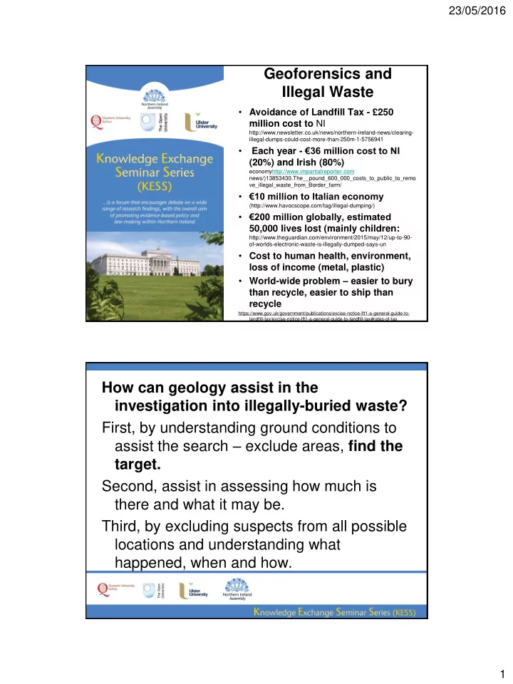
Geoforensics and Illegal Waste
- Avoidance of Landfill Tax - £250
million cost to NI
http://www.newsletter.co.uk/news/northern-ireland-news/clearing- illegal-dumps-could-cost-more-than-250m-1-5756941
- Each year - €36 million cost to NI
(20%) and Irish (80%)
economyhttp://www.impartialreporter.com news/)13853430.The__pound_600_000_costs_to_public_to_remo ve_illegal_waste_from_Border_farm/
- €10 million to Italian economy
(http://www.havocscope.com/tag/illegal-dumping/)
- €200 million globally, estimated
50,000 lives lost (mainly children:
http://www.theguardian.com/environment/2015/may/12/up-to-90-
- f-worlds-electronic-waste-is-illegally-dumped-says-un
- Cost to human health, environment,
loss of income (metal, plastic)
- World-wide problem – easier to bury
than recycle, easier to ship than recycle
https://www.gov.uk/government/publications/excise-notice-lft1-a-general-guide-to- landfill-tax/excise-notice-lft1-a-general-guide-to-landfill-tax#rates-of-tax