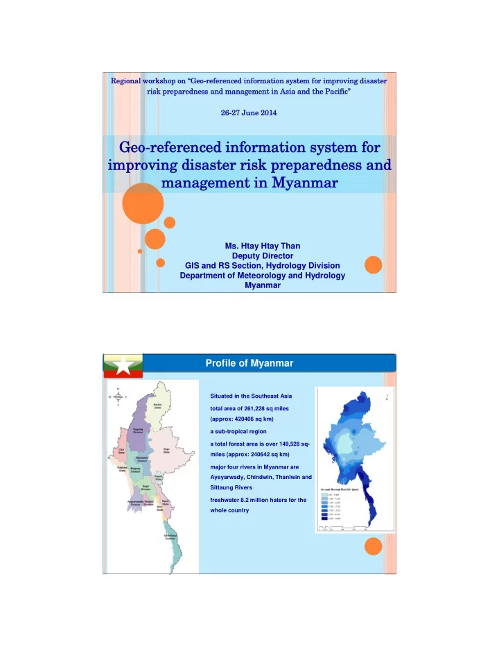

SLIDE 1
Reg Regional ional work workshop shop on
- n “Ge
“Geo-r
- -refe
eferenc renced ed infor informat mation ion s syst stem f for im r improving proving disa disaster ster risk risk p prepar eparedne edness s an and man d manag agem ement ent in in Asia Asia an and the d the Paci Pacifi fic” c” 26-27 26-27 June June 201 2014
Geo Geo-refe
- referen
enced i ced inf nformation sy rmation syste stem f m for r im improving di proving disaster risk prepare saster risk preparedne dness a s and nd ma manageme nagement nt in in Myanmar Myanmar
- Ms. Htay Htay Than
Deputy Director GIS and RS Section, Hydrology Division Department of Meteorology and Hydrology Myanmar
- Situated in the Southeast Asia
- total area of 261,228 sq miles
(approx: 420406 sq km)
- a sub-tropical region
- a total forest area is over 149,528 sq-
miles (approx: 240642 sq km)
- major four rivers in Myanmar are
Ayeyarwady, Chindwin, Thanlwin and Sittaung Rivers
- freshwater 8.2 million haters for the
whole country 2