
SLIDE 1
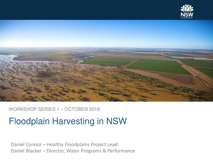
WORKSHOP SERIES 1 – OCTOBER 2018
Floodplain Harvesting in NSW
Daniel Connor – Healthy Floodplains Project Lead Daniel Blacker – Director, Water Programs & Performance
Floodplain Harvesting in NSW Daniel Connor Healthy Floodplains - - PowerPoint PPT Presentation
WORKSHOP SERIES 1 OCTOBER 2018 Floodplain Harvesting in NSW Daniel Connor Healthy Floodplains Project Lead Daniel Blacker Director, Water Programs & Performance Floodplain Harvesting engagement todays agenda Welcome
WORKSHOP SERIES 1 – OCTOBER 2018
Daniel Connor – Healthy Floodplains Project Lead Daniel Blacker – Director, Water Programs & Performance
Page 2
monitoring
verification processes)
Page 3
October 2018 Tony McLeod – General Manager, SDL Accounting and Aboriginal Partnerships
Floodplain harvesting is not currently licensed and fully accounted for Will be incorporated under the Basin Plan This will see the sustainable diversion limit change
22 October 2018
First introduced by NSW Government, 2013:
management
Amended by NSW Government, 2018:
water sharing planning process The NSW Floodplain Harvesting Policy is not up for debate in this forum.
Page 13
Ambitious and unprecedented reform for Floodplain management in Australia, necessary to:
from the impacts of unconstrained floodplain harvesting
floodplain harvesting activities to continue within statutory limits
Page 14
Who Why FPH Modelling Consultative Committee Set up Irrigator Behaviour Questionnaire Gwydir Valley Irrigators Association Pilot valley – incorporating farm scale data/ initial results and individual impacts NSW Agency Oversight and advice on model utility MDBA WRP accreditation role relies on accepting new BDL estimate as ‘best available’
Page 15
Page 16
Process Area of concern Workshop #1 (Oct) Why and how models are being revised and key assumptions Peer Review (Nov-March) That models are based on best available information and are technically robust That Policy implementation is consistent with both legislative and policy requirements Workshop #2 (May) How the numbers have changed following peer review Draft entitlements (May - Nov) How it effects me as an irrigator
Page 17
Page 18
Page 19
Page 21
Page 22
submissions
Open for
stakehol
input
reviewed
Comp mplete desktop review
comments reviewed
identified, aligned Terms
discussed
developed by 30 Nov
Review team to study con
review finalised
discussed
Review scop
8 Oct 16 Nov 30 Nov
1 Dec 2018 to 31st Jan 2019
DoI, MDBA and stakeholders
be submitted by 1st March 2019.
Draft review available
1st Feb 2019
the review presented at workshops in April/May 2019
Presentation of findings
April/May 2019
DEPARTMENT OF INDUSTRY WATER Richard Beecham – Manager, Water Modelling
Page 25
Page 26
Page 27
Page 28
Management Biophysical
Water Sharing Plan rules and sharing Crop planting decisions Storage operation Runoff, routing, losses Storages, evaporation Demands, diversions Allocations, account balance, etc Flows, diversions, stored water, runoff, soil moisture etc
Benchmark for comparison Limitations
00 00 00 00 00 00 00
Driest Dry Wet Wettest
Page 31
Page 32
Page 33
Page 34
Accuracy – Continual -incremental Capability - Quantum
Page 35
Page 36
Page 37
PART 2
Page 39
Model enhancements & configuration Calibration & Validation Scenario modelling Entitlement determination
Conceptual
from instream losses
including order
and non-developed farm areas
Page 40
Others
(Farm survey and inspection, remote sensing)
water sources)
Storage and irrigation losses Separate use of storages Irrigation application rate
Page 41
Infrastructure
Cropping and runoff
Climate and flow breakouts
Licences and water usage
Water licensing system
New model
New model
Page 43
Public dams Total flow network All water users WSP sharing Resource Assessment Inflows Releases Allocations Accounting
Flood outbreak relationships Floodplain storage Farm access order Flow routing Outbreaks and losses FP storage behaviour
Total and developed area Storages Pumps Entitlements Area planting decision Diversion, runoff, irrigation
Over long term [ farm inflows = farm outflows ]
Farm inflows:
(SA)
Page 44
Farm outflows
Page 45
GS + SA + OBF + RR = EV + FL + I
General security diversions measured data Supplementary access diversions measured data Rainfall Runoff modelled to long term average Overbank flow ?? Farm surveys, flow analysis
Page 46
Evaporation storage modelled from evaporation data and storage surface area Farm losses farm surveys and regional averages Irrigation farm surveys crop areas and standard crop demand techniques
Evaporation Irrigation Rainfall runoff Overbank flow harvesting
Page 48
VOL SURFACE AREA
Evaporation Irrigation Rainfall runoff Overbank flow harvesting
Page 49
and infilled by remote sensing
wide variation – climate?
crop factor and climate (rain, evap)
determine crop factors (FAO56)
Evaporation Irrigation Rainfall runoff Overbank flow harvesting
Page 50
Evaporation Irrigation Rainfall runoff Overbank flow harvesting
Page 51
Runoff as a percentage of Rainfall
Evaporation Irrigation Rainfall runoff Overbank flow harvesting
Flow breakout processes
Page 52
Evaporation Irrigation Rainfall runoff Overbank flow harvesting
Page 53
River Breakout Reach storage On-farm temporary storage On-farm permanent storage
Evaporation Irrigation Rainfall runoff Overbank flow harvesting
Intake rates
Page 54
Evaporation Irrigation Rainfall runoff Overbank flow harvesting
Best available data used –published or verifiable data
Significant amount of quality checking undertaken A comprehensive, robust model that accounts for
Page 55
PART 3
Page 57
Plan Limit
Growth in use
Share of total
Licensing framework
Page 58
Plan Limit Current Licensing
10% Floodplain Harvesting diversions
Series1 Series2
Determine eligible unconstraint individual take Export annual time series of floodplain harvesting for each farm Entitlements calculated so that individual impact ≈ 10% Licensing and rules remove growth, i.e. Current ≈ Plan Limit
Page 59
Page 60
T I M E
ACCURACY
Nicola Mead – Healthy Floodplains Stage 2 Project Lead
Page 63
Page 64
Page 65
Page 66
Page 67
& remote sensing
Page 68
Page 69
Page 70
BORDER, GWYDIR, BARWON – DARLING, MACQUARIE NAMOI MONITORING & AUDITING STRATEGY (ALL VALLEYS)
FLOODPLAIN HARVESTING PROGRAM WORKSHOP SERIES 1 Outline process for finalising modelling and feedback on key assumptions
Peer reviewer will consult bilaterally with stakeholders WORKSHOP SERIES 2 Peer review outcomes and valley scale results
28 day submission period; FPH committee review of submissions FINAL ENTILEMENTS Notification OCT 18 NOV 18 DEC 18 JAN 19 FEB 19 MAR 19 APR 19 MAY 19 JUN 19 JUL 19 AUG 19 SEP 19 OCT 19 NOV 19 MONITORING & AUDITING STRATEGY WORKSHOP SERIES 1 Proposed Approach FINALISE DRAFT STRATEGY WORKSHOP SERIES 2 Consultation on final draft PUBLIC EXHIBITION Broad distribution and consultation – Have Your Say Feedback and additional consultation if required
published
Contact the Department of Industry Floodplains team: floodplain.harvesting@dpi.nsw.gov.au
FPHreview@alluvium.com.au OR FPH Review, c/- PO Box 423, Fortitude Valley, Qld, 4006
Page 71