
SLIDE 1
Five-year Survey of the U.S. Natural Gas Flaring Observed from Space - - PowerPoint PPT Presentation
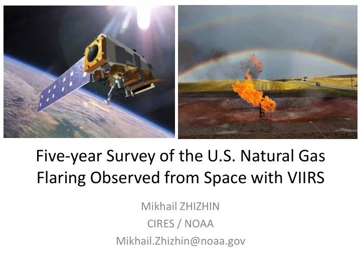
Five-year Survey of the U.S. Natural Gas Flaring Observed from Space with VIIRS Mikhail ZHIZHIN CIRES / NOAA Mikhail.Zhizhin@noaa.gov Earth Observation Group National Geophysical Data Center Chris ELVIDGE Kim BAUGH Mikhail ZHIZHIN Feng-Chi
www.ngdc.noaa.gov/eog
3
0.2 0.4 0.6 0.8 1 0.2 0.4 0.6 0.8 1 2 4 6 8 10 12 14 Black Body Spectrum VIIRS Relative Spectral Response Wavelength (μm)
M13 M14 M15 M16 M12 M11 DNB M7 M8
Hotpsot 1600 K Hotpsot 800 K
M10
VIIRS data is available from March 2012 – present. Nine channels of data are collected at night. VIIRS M-band spatial resolution is 742m at nadir. Nighttime collection of channel 11 is expected to start in 2017
2017-05-23 22:14 UTC T = 1572K, S = 115 m2
Lat=34.911244 Lon=43.432322 deg.
M10 Radiance DNB Radiance DNB Spike Index
Flare Array in Basra Door to Hell in Tadzhikistan Flare in Northern Iraq Satellite view angle Radiant Heat
CEDIGAZ, http://www.cedigaz.org/
0.7 0.75 0.8 0.85 0.9 0.95 0.5 0.6 0.7 0.8 0.9 1 Ccorrelation RH' / BCM Power S^D in RH' RTO WLS
1 2 3 4 5 6 7 TX ND NM LA AK CO Flared Volume, BCM 2012 2013 2014 2015 2016 Year USA BCM, upstream 2012 9.5 2013 9.1 2014 11.3 2015 11.8 2016 8.8 Total flares: 8120.0
500 1000 1500 2000 2500 3000 TX ND NM PA CO MT 2012 2013 2014 2015 2016
5 10 15 20 25 30 Flared Volume, BCM BCM 2012 BCM 2013 BCM 2014 BCM 2015 BCM 2016
Year World BCM, upstream 2012 140 2013 137 2014 141 2015 144 2016 147 Total flares: 17043
1000 2000 3000 4000 5000 6000 2012 2013 2014 2015 2016
https://www.ngdc.noaa.gov/eog/viirs/download_viirs_fire.html https://www.ngdc.noaa.gov/eog/viirs/download_global_flare.html
E.H.; Zhizhin, M. A Fifteen Year Record of Global Natural Gas Flaring Derived from Satellite Data. Energies 2009, 2, 595-622 (Best paper award in 2013) DOI: 10.3390/en2030595 http://www.mdpi.com/1996-1073/2/3/595
Pyrometry at Night. Remote Sensing 2013, 5, 4423-4449. DOI: 10.3390/rs5094423 http://www.mdpi.com/2072-4292/5/9/4423
Global Survey of Natural Gas Flaring from Visible Infrared Imaging Radiometer Suite Data. 2016, 9(1), 14; DOI:10.3390/en9010014 http://www.mdpi.com/1996- 1073/9/1/14