
SLIDE 1
Field Research Method for Densely Populated Area: Building the - - PowerPoint PPT Presentation
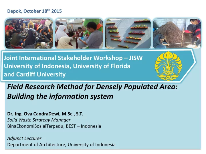
Depok, October 18 th 2015 Joint International Stakeholder Workshop JISW University of Indonesia, University of Florida and Cardiff University Field Research Method for Densely Populated Area: Building the information system Dr.-Ing. Ova
Picture: Wikipedia, 2015. Author: Abrahamic Faiths Data: http://en.wikipedia.org/wiki/Asia-Pacific -accessed 24.05.2015
~ Bangladesh ~ Thailand India
(USD 2009-20011)
(USD 2009)
Source: Wikipedia, 2015. Author: UweDedering Data: http://en.wikipedia.org/wiki/Asia-Pacific -accessed 24.05.2015, DKPP 2014
Data Inventory
1-2 1-3
Database System
1-1
BasedOrganization
Data Inventory
System Information & Communication Network
1-2 1-3 2-1 2-2 2-3
Database System
Selected Communication Network
1-1
Data Inventory
System Information & Communication Network
Environmental Impact and Output Assessments
1-2 1-3 2-1 2-2 2-3 3-1 3-2 3-3
Database System
Selected Communication Network Selected Waste Treatment
1-1
Waste Collection System
Data Inventory
System Information & Communication Network
Environmental Impact and Output Assessments
1-2 1-3 2-1 2-2 2-3 3-1 3-2 3-3 4-1 4-2 4-3
Database System
Selected Communication Network Selected Waste Treatment Selected Collection System
1-1
Inventory Database System
PhysicalMapInventory WasteCharacteristics Collective Actions
Information System Communication Network Database System
activecommunity member The areaofinfluence 1 zone
Legend
Feature Element Case Study Unit I II Active person 16 10 person Buffer zone I 25 10 meter Buffer zone II 50 20 meter *) Case Study I has bigger area
Legend
Feature Element Case Study Unit I II Meeting Point 2 1 point Buffer zone I 50 30 meter Buffer zone II 100 50 meter Buffer zone III 150 __ meter *) Case Study I has bigger area
Legend
Feature Element Case Study Unit I II Cluster 8 7 Cluster (nofeature) Total houses 24- 59 5 - 24 house *) Case Study I has bigger area
messenger/local cadres meeting point Influenced zone, active Influenced zone, passive houses