
SLIDE 1
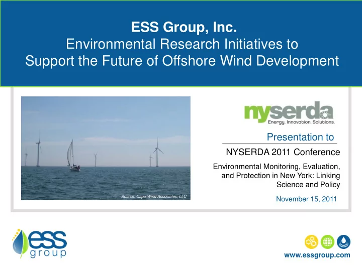
ESS Group, Inc. Environmental Research Initiatives to Support the Future of Offshore Wind Development
Presentation to
NYSERDA 2011 Conference
Environmental Monitoring, Evaluation, and Protection in New York: Linking Science and Policy
November 15, 2011 www.essgroup.com
Source: Cape Wind Associates, LLC