
SLIDE 1
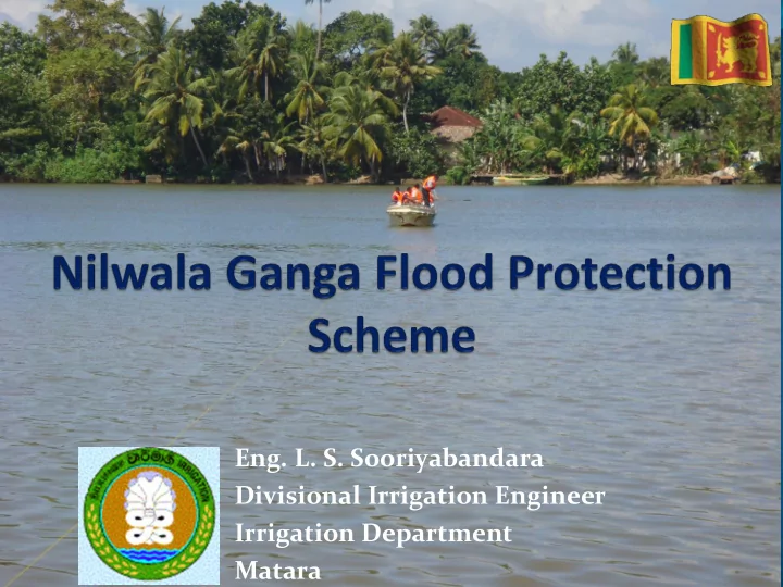
- Eng. L. S. Sooriyabandara
Divisional Irrigation Engineer Irrigation Department Matara
Eng. L. S. Sooriyabandara Divisional Irrigation Engineer Irrigation - - PowerPoint PPT Presentation
Eng. L. S. Sooriyabandara Divisional Irrigation Engineer Irrigation Department Matara River Basin Map PITABEDDARA KOTAPOLA AKURESSA MATARA River Basin Information Catchment Area : 970 km 2 Length of the river : 70 km Average
Divisional Irrigation Engineer Irrigation Department Matara
MATARA KOTAPOLA AKURESSA PITABEDDARA
Catchment Area
Length of the river
Average Annual Rainfall
Average Annual Discharge : 1500 MCM
50 100 150 200 250 300 350 Oct Nov Dec Jan Feb Mar Apr May June Jul Aug Sept Rainfall in mm Month Long term Average
Engineering Consultants, Inc. (ECI), Denver Colorado, USA Irrigation Department, Sri Lanka
Three Basin Study
Gin Ganga Nilwala Ganga Kalu Ganga
Objectives
Flood Protection Power Generation Irrigation Water Supply Transbasin Diversion
Large scale reservoir in upper catchment
Period of construction
: 1980 s
Financial & technical Support
: French Government
Original Proposals
Developing low lands at RB for paddy cultivation (Stg. I) Protection of LB paddy cultivation area from flooding (Stg. II) Construction of multipurpose reservoirs in the upper catchment.
(Stg. III)
Protection of Matara city and suburbs from flooding
(Stg. III)
HULANDAWA DIGILI OYA
Stage I & II
(Kiralakele & Kadawedduwa) for paddy cultivation (2000 ha in each).
Additional works
Akuressa lift irrigation scheme
Sea outfall Indian Ocean Kadduwa Sector Kadawedduwa Sector Kiralakele Sector Unprotected zone
Panadugama spill
Bypass canal Akuressa town
Paddy Cultivation in Kiralakele was not successful
Stage II (LB side) is successful, but the operation
Extent of unprotected area is very high
Higher flood levels in unprotected area of
3000 ha
Formation of acidity in 800 ha of paddy lands
in Kiralakele area
High Costs of Operation and Maintenance
Causes
Natural Unplanned
developments
Urbanization Sand mining De-forestation Plantations, Industries Increase of population
Effects
Flooding
Saline water intrusion
Water pollution
Soil erosion
Siltation
Water Scarcity
Soil Salinity
Acidity
(1) Implementing stage 3 with necessary changes to suit present conditions (i) Digilioya Reservoir , Aparekka Ara & Batuwita reservoir (ii) Enlarging river channel with removing
(2) Rehabilitation of stage II (LB area) & Pumps of
Akuressa Lift Irrigation sch.
(3) Find alternative solution for Kiralakele (RB side)
(1) Construction of reservoirs in the upper
Objectives - Providing Irrigation facilities
Matara Akuressa Kamburupitiya Aparekka Tank Kotapola Tank Urawa Tank Kirama Tank KadukannaTank Digili Oya Tank Batuwita Ara Tank
BANDATHTHARA SEA OUTFALL THUDAWA PUMP STATION
Objectives
Diversion of Gin -
Nilwala surplus water to Hambantota
Power Generation Gin – Nilwala Flood
Mitigation
Pitadeniya Kotapola Ampanagala
CASCADE ROUTE OF GIN – NILWALA DIVERSION PROJECT
Kotapol apola Ampanagal gala Kirama ama Muruth thawe awela Chandr drika ika Wewa wa
POWER PLANT NT
Pitade deniya niya
Bund Nilwala River Thudawa pump house
boggy and marshy and the land is in the same level with the sea.
pump house was provided to evacuate drainage water in to the river at Thudawa.
In Matara District Area of the scheme = 2000Ha Farmer organization of the scheme = 33 Total number of Regulators = 70
Canal Name Canal length km S 7.0 T 8.0 U 8.0
Two methods used
Gravity outlet Pumping
Gravity
Pump House
Gravity
Pump House
Drainage Canal Sea Level
PH 5.0 – 5.5
0.3m Paddy Fields upto 0.3m above Sea Level Paddy Fields – below Sea Level Paddy Fields above 0.3m from Sea Level
PH 4.0 – 5.0 PH 2.5 – 3.5
Water logging Vegetation
Marshy low land with mangroves Rich with Iron Pyrites (Fe2S) When water table is decreasing… Oxidization taken place Form Acidity Displacement of Iron & Aluminium ion Toxic soil
Critical & Limitative condition in paddy cultivation
Also……
evaporation & capillary action
Distribute this soil problem to adjoining areas due to the variation of water table In dry season
Maintenance of canal network
Water Management structures
Nature Parks
Change of Land use
Detention ponds Temporary detention area Permanent pool River Sea Inlet & Outlet canals Multi purpose reservoirs
“Water is the planet's