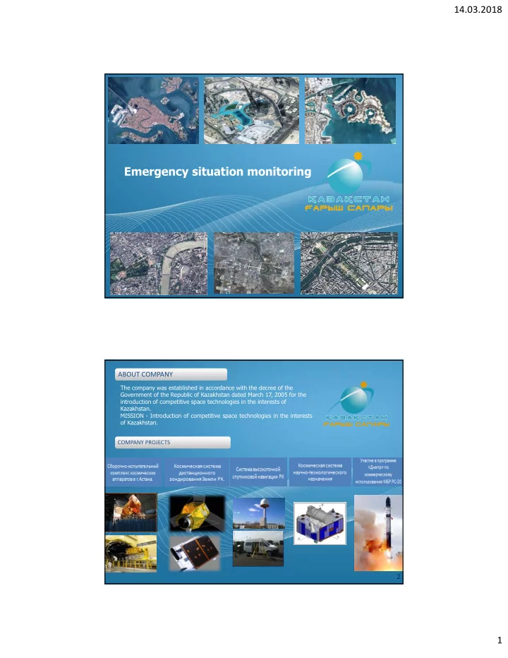
emergency situation monitoring
play

Emergency situation monitoring 1 ABOUT COMPANY ABOUT COMPANY The - PDF document

14.03.2018 Emergency situation monitoring 1 ABOUT COMPANY ABOUT COMPANY The company was established in accordance with the decree of the Government of the Republic of Kazakhstan dated March 17, 2005 for the introduction of competitive space


  1. 14.03.2018 Emergency situation monitoring 1 ABOUT COMPANY ABOUT COMPANY The company was established in accordance with the decree of the Government of the Republic of Kazakhstan dated March 17, 2005 for the introduction of competitive space technologies in the interests of Kazakhstan. MISSION - Introduction of competitive space technologies in the interests of Kazakhstan. COMPANY PROJECTS COMPANY PROJECTS 2 1

  2. 14.03.2018 Earth remote sensing space system KazEOSat-2 KazEOSat-1 Spatial resolution - 6,5 м Spatial resolution - 1 м Shooting mode Shooting mode Panchromatic, Multispectral Scene size 77 х 77 k м Multispectral Frequency of shooting Scene size 20 х 20 k м from 3 to 5 days Frequency of shooting from 3 to 5 days Efficiency Efficiency 1 000 000 sq.km/days 220 000 sq.km/days 3 Earth remote sensing space system Land segment in Astana Land control complex of spacecrafts Land control complex of spacecrafts Land target complex Land target complex Antenna systems Antenna systems 4 2

  3. 14.03.2018 MONITORING AND FORECAST OF SEASONAL FLOODS AND FLOODS OF THE RIVERS, DETECTION AND ASSESSMENT OF SCALES OF ZONES OF LARGE FLOODS R. Nura and adjacent villages KazEOSat-1.18.04.2015 Flood situation in the Akmola region for April, 2015. 5 MONITORING OF SEASONAL FLOODS AND FLOODS OF THE RIVERS IN THE KARAGANDA REGION v. Kievka, Nurynsky district, KazEOSat-1 (04/13/2015) v. Koktenkol, Shetsky district, KazEOSat-1 (13.04.2015) v. Koktas, Karkaralinsky district, KazEOSat-1 (13.04.2015) v. Tengizshilik, Karkaraly region, KazEOSat-1 (04/13/2015) 6 3

  4. 14.03.2018 MODEL OPERATION OF THE TERRITORY DURING SEASONAL FLOODS AND FLOODS OF THE RIVERS ON THREE-DIMENSIONAL MODELS -Determination of the list of settlements that have fallen into the flood zone; -Determination of the list of industrial enterprises, cattle cemeteries, dumps, warehouses of mineral fertilizers, fallen into the flood zone; -Determination of the length of roads and railways, bridges and engineering structures that have fallen into the flood zone; -Determination of the length of the main pipeline lines that have fallen into the flood zone; -The calculation of flooded areas in terms of their functional use 7 WATER RESOURCES MANAGEMENT Decision: Deficiency of water resources. Low water availability is 36.4 thousand cubic meters per 1 square 1. Monitoring of water kilometer (the lowest in the CIS). More than 4 thousand reservoirs and dams, an area of 100 thousand resources (construction of square meters. km. hydrological digital terrain models, monitoring of river and lake basins, monitoring of pollution of water bodies, monitoring of water and ice regime of reservoirs); 2. Inventory of water bodies, assessment of reserves and quality; 3. Control of the activities of water users and water users; april - 457 sq.k м june - 363 sq.k м october - 44 sq.k м 4. Development of water Changing the area of the water mirror of the Koksarai counter regulator protection measures; 5. Monitoring of water intakes and hydraulic Expected results: update of water cadastre databases, structures; improvement of water supply, forecast and modeling of water 6. Establishment of GIS of processes water management The upper part of the river. Irtysh in the 8 territory of China 4

  5. 14.03.2018 FORECAST OF DISTRIBUTION OF POLLUTANTS IN THE WATER ENVIRONMENT WITH THE USE OF REMOTE SENSING METHODS AND GEOINFORMATION MODELING - Monitoring of oil infiltration; - Identification of oil pollution; -Prognosis of the spread of oil pollution. Не Верхняя часть р . Иртыш на территории 9 КНР Kashagan oil and gas field (NCOC, KazMunaiGas, Total, ExxonMobil, Royal Dutch Shell, CNPC, Inpex, AgipCaspian Sea B Presumably, oil films from oil spills. Also during the monitoring on the KazEOSat-1 satellite im 06.11.2015, contamination of the surface of the C Sea with a total area of about 268,500 m2 was reve September 24, 2013 near installation of complex processing of oil and gas (ground complex of the p "Bolashak") due to the rupture of the gas pipelin leak of hydrogen sulphide (passing-bed gas). As a result of the acciden residual gas was sent and burned at the flares of th ground and sea complexe the Kashagan field. KazEOSat-1, 06.11.2015 10 5

  6. 14.03.2018 Monitoring of glaciers and mountain lakes Picture of the KazEOSat-1 Spacecraft Picture of the KazEOSat-1 Spacecra with the spatial resolution of 1 m with the spatial resolution of 1 m 28.08.2017. 05.11.2017. 11 Monitoring of the Aral Sea 1973 y. 1987 y. 2010 y. 2012 y. 2014 y 12 6

  7. 14.03.2018 Space monitoring and mapping of the burned-out territory The area of the burned-out territory of 399 374 hectare in Hobdinsky and Uilsky district of the Aktobe region 13 Space monitoring of the burned-out territory in Bayganinsky district The area of the burned-out territory - 75 561 hectare 14 7

  8. 14.03.2018 Directions of space monitoring for prevention of emergency • Monitoring of glaciers; • Monitoring of the cross-border rivers (fresh and irrigation water): •- uneven use of an intake of water; •- construction of channels, reservoirs, hydro constructions. • Monitoring of the fires - quick response to the fires in the woods, the steppe. • Environmental monitoring of the Caspian Sea (Kazakhstan, Russia, Turkmenistan, Iran, Azerbaijan); • Monitoring of the Aral Sea: •- Syr-Darya Amu-Darya Rivers, : •- dams, the separating Small Aral Sea from the Big Aral Sea; • Prevention of river floods: • - in the spring when thawing snow; • - after downpours; • Erosion of soils, desertification. 15 Conclusions Uncontrolled use of resources and ecological pollution have very seriously changed climate in a number of regions of Central Asia. And these changes don't recognize frontiers. Dust storms, severe winters, destructive summer, and in the future a lack of fresh and irrigation water — all this links of one chain. It is necessary to develop geospatial statistical indicators and also on their basis to create an early warning system of accidents for timely taking measures, both the countries of the region, and the international organizations for sustainable development of Central Asia. 16 8

  9. 14.03.2018 THANK YOU THANK YOU FOR YOUR ATTENTION FOR YOUR ATTENTION 17 9

Download Presentation
Download Policy: The content available on the website is offered to you 'AS IS' for your personal information and use only. It cannot be commercialized, licensed, or distributed on other websites without prior consent from the author. To download a presentation, simply click this link. If you encounter any difficulties during the download process, it's possible that the publisher has removed the file from their server.

Recommend


More recommend