
SLIDE 1
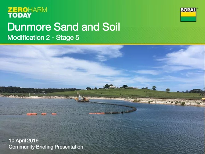
Dunmore Sand and Soil
Modif ific ication 2 2 - Stage 5
10 10 Apr April il 20 2019 19 Com Communit ity Brie riefin ing Pre Presenta tati tion
Dunmore Sand and Soil Modif ific ication 2 2 - Stage 5 10 10 - - PowerPoint PPT Presentation
Dunmore Sand and Soil Modif ific ication 2 2 - Stage 5 10 10 Apr April il 20 2019 19 Com Communit ity Brie riefin ing Pre Presenta tati tion DSS Mod 2 Briefing - Introduction Agenda Welcome - Paul Jackson (Stakeholder
10 10 Apr April il 20 2019 19 Com Communit ity Brie riefin ing Pre Presenta tati tion
Agenda
Banks (DSS Quarry Manager)
approval to establish additional extraction areas (Stage 5)
separate extraction areas, namely Stage 5A and 5B
Minnamurra River).
is estimated at 234,000 t and approximately 1,123,000 t respectively
will be operated across both extraction areas. Extraction methods will be identical to those in Stages 2 and 3. ~ 370m ~ 420m
Clearing and grubbing of groundcover vegetation. Topsoil stripped and stockpiled, for later re- use in rehabilitation. Earth mounds will be formed using a dozer to construct the flood protection bunding for the dredge pond.
Stage 5A backfilled with VENM, topsoil spread and groundcover vegetation planted to return the land to pasture.
1-3 years
Same as 5A
Stage 5B will be left as a freshwater pond, inline with existing practices implemented in Stage 2 - includes: ·Appropriate edging being implemented on the lake edge, to provide additional habitat for native fauna; ·Plant species planted along the lakes edges will be selected to maximise the bank stability; ·A fringing wetland community being created along the western and southern boundary, complemented by adjoining tree stands, improving habitat diversity; ·stabilise re-profiled areas as soon as possible, minimise potential erosion and degradation of areas
~ 4-5 years
○ Avoid ○ Mitigate ○ Offset
adjacent areas mapped as Coastal Wetlands including proximity areas.
adjacent areas.
within the Coastal Wetlands Proximity Area (Buffer Area) and the Coastal Wetland itself.
done to avoid impacts to coastal wetlands areas
being backfilled for rehabilitation.
The pond was kept offline until the size of the pond was maximised.
turn discharge offsite on/off.
after 20mm of rainfall in 24 hours. Monitoring points are shown in red.
was designed to keep the Stage 3 dredge pond
designed to allow settling
high rainfall.
does not inhibit natural flows and to mimic the flow of the former Western Tributary channel.
Stage 2 to this channel is valved so the site can turn discharge on/off.
flows from this offline circuit expect in the case of an overflow.
bund which was designed to protect against a 1 in 100 year rainfall event.
there is less than 30cm freeboard within the dredge pond.
Monitoring points are shown in red.