
SLIDE 1
1
District 11-0 Geohazard Inventory and Rating System Jonathan Moses, - - PowerPoint PPT Presentation
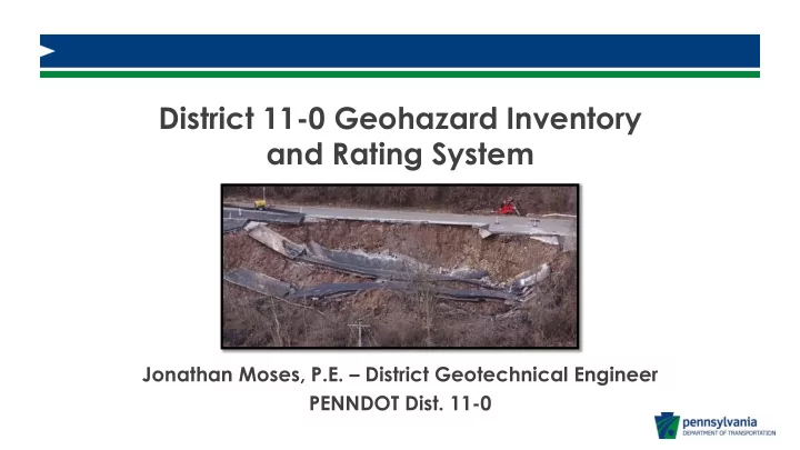
District 11-0 Geohazard Inventory and Rating System Jonathan Moses, P.E. District Geotechnical Engineer PENNDOT Dist. 11-0 1 Landslide Causes Landslides are the result of several contributing factors: Slope steepness Relatively weak
1
2
Landslides are the result of several contributing factors:
Fully saturated soil
material above is reduced
more weight.
equilibrium, typically at the bottom of the slope
3
claystone rock that deteriorate when exposed to water. When deteriorated, this layer can act like a lubricated plane for all material above to slide.
4
True Landslide Stream Scour Pipe Failure Sheet Flow
5
6
7
Revised Rating Ranges Low Priority 18 - 70 Medium Priority 71 - 149 High Priority 150 - 648
THRESHOLD VALUE THRESHOLD VALUE THRESHOLD VALUE THRESHOLD VALUE 1 3 Creep Failure 27 1 3 1 3 1000 9 Landslide (Redbeds/Colluvium) 81 99 9 10 9 5000 27 Other 249 27 50 27 10000 81 Pipe Outlet Erosion 9 500 81 100 81 Rockfall with Drop Zone 9 Rockfall with Fence 3 Rockfall with Jersey Barrier 27 Rockfall with No Protection 81 Sheet Flow 3 Stream Scour 27 Subsidence 27 ADT TYPE_OF_GEOHAZARD LENGTH_OF_ROADWAY_IM PACTED HEIGHT_OF_FAILURE_RELATIVE_T O_ROADWAY
THRESHOLD VALUE THRESHOLD VALUE THRESHOLD VALUE 1 81 Both Lanes 243 Frequent Maintenance 9 50 27 Debris in Both Lanes 243 Maintenance Costs of Closure 81 100 3 Debris in Drop Zone 3 Other Debris in Lane 81 Periodic Maintenance 9 Debris in Shoulder 9 Political Implications 81 Dip in Road 27 Rural Road with Low ADT 3 Into Lane 81 School, EMS, Police, and/or Fire Impacts 27 Lane Distress 9 Lane Undermined 27 One Lane and Shoulder 81 Other Shoulder Backup Failing 3 Shoulder Failing 9 To White Line 27 DEPTH_TO_VOID_MINED_SE AM SURROUNDING_AREA_IMPACT ROADWAY_LIMITS_IMPACT
8
Spreadsheet
9