Best Practices for Dug Out Earth Dam Design & Construction - - PDF document

best practices for dug out earth dam design construction
SMART_READER_LITE
LIVE PREVIEW

Best Practices for Dug Out Earth Dam Design & Construction - - PDF document

2020 02 23 Best Practices for Dug Out Earth Dam Design & Construction Dwayne Tannant University of British Columbia Acknowledgments Gouri Bhuyan, Dung Nguyen and Ken McLean, BCOGC Brian Thomson, BC OGRIS Adam Leece,


slide-1
SLIDE 1

2020‐02‐23 1

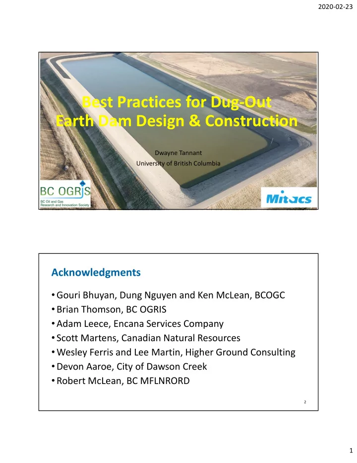
Best Practices for Dug‐Out Earth Dam Design & Construction

Dwayne Tannant University of British Columbia

  • Gouri Bhuyan, Dung Nguyen and Ken McLean, BCOGC
  • Brian Thomson, BC OGRIS
  • Adam Leece, Encana Services Company
  • Scott Martens, Canadian Natural Resources
  • Wesley Ferris and Lee Martin, Higher Ground Consulting
  • Devon Aaroe, City of Dawson Creek
  • Robert McLean, BC MFLNRORD

Acknowledgments

2

slide-2
SLIDE 2

2020‐02‐23 2

  • Examine best practices for design and construction of

dugout earth dams for fresh water storage

Objective

3

Fieldwork 2018‐19

4

slide-3
SLIDE 3

2020‐02‐23 3

  • Are existing recommendations being followed?
  • In what areas were they not?
  • Are existing recommendations adequate or should they be

changed?

  • Should recommendations change to reflect what was
  • bserved or should existing recommendations be

followed?

  • What should be recommended based on observations?

Questions

5

  • Dam geometry and stability
  • Freeboard and design flood
  • Spillway and outlet
  • Seepage and drainage
  • Erosion Protection (covered in another presentation)
  • Construction (covered in another presentation)
  • Maintenance

Seven Key Areas of Dam Design and Construction

6

slide-4
SLIDE 4

2020‐02‐23 4

  • Canadian Dam Association (2007, 2013)
  • Minimum factors of safety for slope stability for different

loading conditions

  • Geotechnical considerations (filter design criteria)
  • Hydrotechnical considerations (inflow design flood)
  • and others ….
  • BC MFLNRORD (2018)
  • Recommended upstream and downstream embankment

slopes, minimum freeboard and spillway width

  • and others ….

Existing Best Practices

7

  • Canadian
  • BC MoTI
  • BC Ministry of Energy and Mines
  • BC Ministry of Environment, Lands and Parks
  • Alberta Ministry of Agriculture and Forestry
  • Ontario Ministry of Agriculture, Food, and Rural Affairs
  • International
  • USSD, USACE, USBR, USASDSO
  • ICOLD, FAO of the UN
  • Australian best practices documents

Existing Best Practices

8

slide-5
SLIDE 5

2020‐02‐23 5

Construction

  • Foundation

preparation

  • Compaction

equipment and lift thickness

  • Degree of

compaction and water content

9

[More details in another presentation] 2.5:1 3:1 freeboard 1 m 1:1 2 m key trench blanket filter toe drain full supply water level crest 4.2 m 6 m live storage dugout dead storage

  • riginal ground surface,

top soil removed 2.5:1 3:1 freeboard 1 m 1:1 2 m key trench toe drain full supply water level crest 4.2 m 8.5 m live storage dugout dead storage

10

slide-6
SLIDE 6

2020‐02‐23 6

Summary of Investigated Dams

11

Dam Max. Height (m) Live Storage (m3) Classification Age (Years) Soil Type Slope U/S (H:V) Slope D/S (H:V) Regulator 1 9.1 64,060 significant 7 CL 3.3:1 2.3:1 OGC 2 7.7 75,517 significant 7 CL 2.7:1 3:1 OGC 3 6 200,000 high 1 CL 2.7:1 3.2:1 OGC 4 5.3 161,800 high 3 CH 2.7:1 4:1 OGC 5 11.3 1.03x10⁶ high 2 CL 3:1 2.5:1 MFLNRORD 6 12 379,000 high 44 CL 3:1 3:1 MFLNRORD 7 9.6 107,000 significant 3 CL 3:1 3:1 MFLNRORD

As‐built Source Upstream Slope Downstream Slope BC MFNLRORD 3:1 2.5:1 BC MEM 3:1 3:1 United Nations Food and Agriculture Organization 3:1 2:1 United States Bureau of Reclamation 3:1 2.5:1

  • Depart. Primary Industries and Water of Tasmania

3:1 3:1 Eyre Peninsula Natural Resources Management Board 3:1 3:1

Slope Recommendations

12

Slopes should not be steeper than these values unless careful analysis and justification is provided

slide-7
SLIDE 7

2020‐02‐23 7

13

Cracking and Slumping if Too Steep Slumping in a Cut Slope

14

slide-8
SLIDE 8

2020‐02‐23 8

Dam FS without filter FS with filter 1 1.98

  • 2

2.69

  • 3

1.98 2.07 4 2.12 2.40

Minimum FS recommended by CDA = 1.5

15

  • Stability is sensitive to the shear strength (c’ and ɸ’) for

both the foundation and the embankment

  • Excess pore pressures can also be important

Embankment Stability

16

slide-9
SLIDE 9

2020‐02‐23 9

Source Equation

  • Min. W (m)

MFLNRORD (2018) W = 0.2H + 3 3 Lewis (2014) 𝑋 𝐼 1 2.5 Stephens (2010) 𝑋 0.4𝐼 1 3

Crest Width Recommendations

17

  • Watersheds are typically very small
  • Inflow design flood easily handled by 4 m wide spillway
  • Spillway capacity is ~10 m3/s, if spillway width is 4 m

Inflow Design Flood and Spillway

18

slide-10
SLIDE 10

2020‐02‐23 10

Steady‐State Seepage

19

time required to achieve steady‐state seepage and full consolidation settlement can be many years

  • Key trench
  • Filters (blanket and toe drains)

Internal Seepage

20

slide-11
SLIDE 11

2020‐02‐23 11

2.5:1 3:1 1:1 2 m key trench blanket filter toe drain crest

  • riginal ground surface,

top soil removed reservoir

  • Side slopes no steeper than 1:1 for a depth up to 3 m
  • Minimum width equal to the width of a bulldozer or

scraper

Key Trench

21

Key Trench

  • Placed in layers with

maximum 0.1 m thickness

  • Well compact every layer
  • Complete whole dam

length at once, or each section must key into subsequent sections

  • Remove water before

placing fill

(Gerard Degoutte 2012, Small dams, guidelines for deign, construction and monitoring, ICOLD Bulletin 91) 22

slide-12
SLIDE 12

2020‐02‐23 12

Blanket Filter/Drain

23

Toe Drain

24

slide-13
SLIDE 13

2020‐02‐23 13

  • Blanket and toe drains

Internal Seepage

25

Seepage Cut‐Off Collars on Low‐Level Outlet

  • Use of many types of

seepage cut‐off collars is no longer best practices

26

slide-14
SLIDE 14

2020‐02‐23 14

Surface Erosion Protection

  • Wave action

(upstream slopes)

  • Precipitation runoff

(crest and embankment slopes)

27

[More details in another presentation]

Erosion Protection

28

slide-15
SLIDE 15

2020‐02‐23 15

Maintenance

  • Vegetation
  • Slopes
  • Spillways
  • Animal activity
  • Booms
  • Riprap
  • Instrumentation
  • Etc.

29

  • Dams should meet minimum CDA (2007) factors of safety for

end‐of construction, steady‐state, seismic, and rapid drawdown conditions

  • Soil strength characterization (e.g., cohesion) is critical for

drained and undrained stability analyses

  • Embankment slopes should be a maximum of 2.5:1 (d/s) and

3:1 (u/s)

  • Blanket drains with geotextile should be used in dams higher

than 4 m

  • Seepage cut‐off trenches (shear keys) should be used

Recommendations

30

slide-16
SLIDE 16

2020‐02‐23 16

  • Minimum freeboard should be 1 m
  • For dams with no or small watersheds, a 4 m wide spillway

will pass the IDF (check IDF for watershed)

  • Roads with culverts should not cross a spillway
  • Surface erosion protection is required on upstream and

downstream slopes

  • Riprap is typically the most effective protection for wave

erosion

Recommendations

31

Dam 3

  • We will look at one

typical dam located NW of Dawson Creek and west of the Alaska Highway

32

slide-17
SLIDE 17

2020‐02‐23 17

  • Organic soil was removed
  • Soil compacted in 25 cm lifts with a sheepsfoot roller

(sheepsfoot is best for clay soils)

  • Excess stripped silt and clay was stockpiled along with

topsoil and hydro‐seeded

Dam Constructed in 2018

33

stockpiles stockpile spillway splash pad 100 m

34

slide-18
SLIDE 18

2020‐02‐23 18

748 750 752 754 756 ‐20 ‐15 ‐10 ‐5 5 10 15 20 25 30

Distance (m)

Full Supply Level As‐built Design 1 3.2 2.7 1 filter

  • Elev. (m)
  • Maximum 6 m berm height
  • 3H:1V design slopes (as‐built differs)
  • Horizontal blanket drain with geotextile used where berm

height exceeds 2.5 m

Dam Geometry

35

  • Plan Submission Requirements for the Construction and

Rehabilitation of Small Dams (MFLNRORD, 2018)

  • Minimum upstream slope 3:1
  • Minimum downstream slope 2.5:1
  • Minimum crest width = 0.2H+3 m (H = berm height)
  • Dam slopes were designed to meet these slope

requirements but the upstream slope is steeper at 2.7:1

  • Design crest width of 5 m meets the minimum 4.2 m

requirement, but the as‐built crest width is ~4 m

Geometry Considerations

36

slide-19
SLIDE 19

2020‐02‐23 19

Dam Operation

  • High consequence

dam

  • 200,000 m3 water

storage

  • Water level and use

is controlled by pumping in and out

  • No watershed

providing inflow

37

Splash pad

Spillway

  • 4 m wide spillway

lined with rip rap and non‐woven geotextile

  • Access road crosses

spillway, with two 760 mm CSP culverts

38

slide-20
SLIDE 20

2020‐02‐23 20

Spillway

  • Inflow design flood

~2.3 m3/s

  • But culverts limit the

capacity to ~1.4 m3/s

39

  • Maximum wave height <0.5 m
  • 1 m freeboard is sufficient

Freeboard

40

slide-21
SLIDE 21

2020‐02‐23 21

  • Embankments will settle after construction
  • Embankment height should be overbuilt an extra 5 to 10%

to account for post‐construction settlement

  • Achieving a horizontal crest profile after construction is

helpful for future monitoring

Settlement Allowance

41

Riprap

  • Class 25 kg riprap in the

spillway is smaller than recommended using USACE method, but there is geotextile

  • No other riprap in use

except at the splash pad

  • Riprap displaced off the

geotextile

42

slide-22
SLIDE 22

2020‐02‐23 22

Soil Properties

43

% gravel (>2 mm) % sand (0.06 to 2 mm) % silt (0.002 to 0.06 mm) % clay (<0.002 mm) w (%) LL (%) PL (%) PI (%) Activity USCS

2‐8 10‐15 49‐59 20‐35 15 29‐ 40 14‐ 18 14‐ 24 0.5‐ 0.7 CL Medium plasticity Low activity From dam, may be < wopt Lean clay or lean clay with sand

  • Bulk x‐ray diffraction and clay speciation tests

Soil Mineralogy

44

Quartz Albite K‐feldspar Calcite Dolomite Illite/Mica Mixed‐layers Chlorite Kaolinite Gypsum Total Feldspar Total Carbonates Total Clays

46.6 4.0 2.0 6.1 4.6 24.2 0.6 3.5 6.2 2.1 6 10.7 34.5

slide-23
SLIDE 23

2020‐02‐23 23

Clay Mineralogy

  • Dispersive smectite

group clay minerals (e.g. bentonite and montmorillonite) not detected

  • Inorganic clay of low

to medium plasticity

  • Soil activity is low

45

Swelling Potential

  • Generally low

swelling potential

  • Cracks occur when

the soil dries

  • Impact of shrinkage

cracking needs further research

46

slide-24
SLIDE 24

2020‐02‐23 24

47

Cracking

  • Predicted seepage very small
  • 0.05 L/day/m of embankment with filter

Seepage Analysis

48

slide-25
SLIDE 25

2020‐02‐23 25

  • Filter lowers the phreatic line and directs seepage into the

blanket drain

  • Blanket filter helps to relieve pore pressures generated in

the foundation as the soils consolidate

Seepage Analysis

49

  • CDA (2007) filter criteria based on Sherard et al. (1984, 1989)
  • Grain size analysis of filter (D15) and embankment (d85) soils
  • Non‐woven geotextile is needed between the sand filter and

the silty clay

Filter Design

50

D15 (mm) d85 (mm) Sherard et al. Criterion (1984) Meets Sherard Criterion? Meets Terzaghi Criterion? 0.33 0.042 D15 ≤ 0.5 mm Yes No

slide-26
SLIDE 26

2020‐02‐23 26

  • Water in ditch attributed to low spots, likely no

relationship with seepage

Water in Ditch

51

Wave Erosion

  • Scarp grew from 10‐

20 cm (Aug. 2018, left) to 50‐60 cm (May 2019, right)

  • Booms installed to

dissipate wave energy

52

slide-27
SLIDE 27

2020‐02‐23 27

  • Vegetation is slowly starting to grow after one year

Vegetation

53

Decommission Planning

  • Stockpiles east of the

dam contain different soils strategically separated for infilling the reservoir when decommissioned

54