
SLIDE 1
1
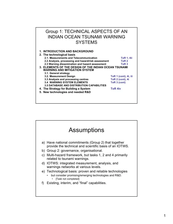
Group 1: TECHNICAL ASPECTS OF AN INDIAN OCEAN TSUNAMI WARNING SYSTEMS
- 1. INTRODUCTION AND BACKGROUND
- 2. The technological basis
2.1. Measurements and Telecommunication ToR 1, 4ii 2.2 Analysis, processing and hazard/risk assessment ToR 2 2.3 Warning dissemination and hazard assessment ToR 3
- 3. ELEMENTS OF THE DESIGN OF THE INDIAN OCEAN TSUNAMI
WARNING AND MITIGATION SYSTEM
3.1. General strategy 3.2. Measurement Design ToR 1 (cont), 4i, iii 3.3 Analysis and processing centres ToR 2 (cont), 4i 3.4 WARNING SYSTEM ELEMENTS ToR 3 (cont) 3.5 DATABASE AND DISTRIBUTION CAPABILITIES
- 4. The Strategy for Building a System
ToR 4iv
- 5. New technologies and needed R&D
Assumptions
a) Have national commitments (Group 2) that together provide the technical and scientific basis of an IOTWS. b) Group 2: governance, organisational. c) Multi-hazard framework, but tasks 1, 2 and 4 primarily related to tsunami warnings. d) IOTWS: integrated measurement, analysis, and warnings networks at various levels. e) Technological basis: proven and reliable technologies
- but consider promising/emerging technologies and R&D.
- [Task not completed]