
SLIDE 1
Assessing Potential Contaminant Removal from Sediments and Biota - - PowerPoint PPT Presentation
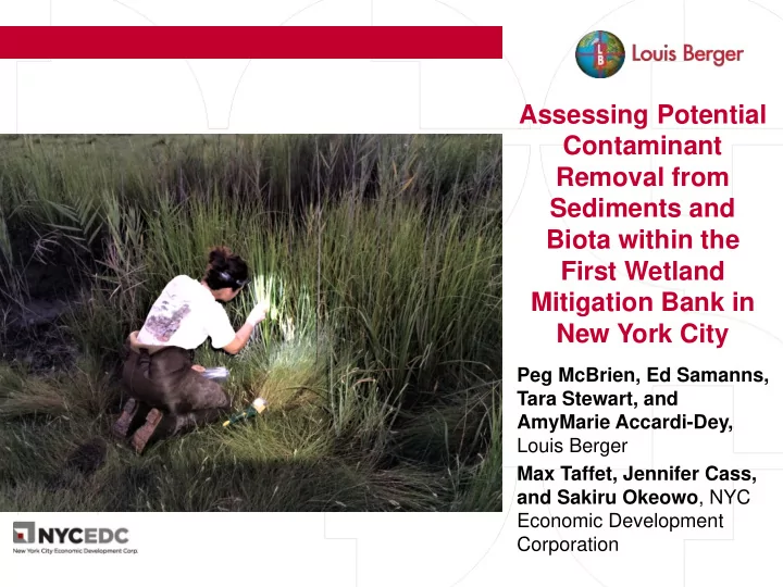
Assessing Potential Contaminant Removal from Sediments and Biota within the First Wetland Mitigation Bank in New York City Peg McBrien, Ed Samanns, Tara Stewart, and AmyMarie Accardi-Dey, Louis Berger Max Taffet, Jennifer Cass, and
2
3
4
5
6
7
8
9
10
11
12
13
14
15
16
17
18
19
20
21
22