ar area ea
play

Ar Area ea Past Uses, Present Issues, and Future Adaptive - PowerPoint PPT Presentation

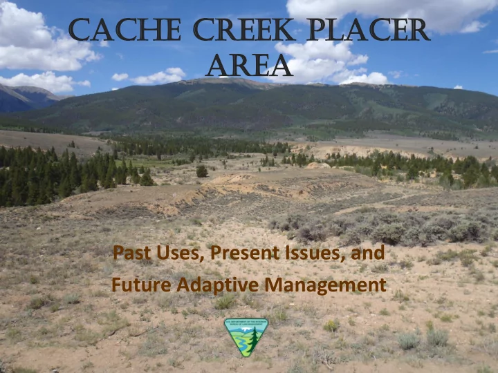
Cache he Cree eek k Placer er Ar Area ea Past Uses, Present Issues, and Future Adaptive Management Todays Discussion Cache Creek Background History Geologic Location Map Cache Creek Past Uses Cache


  1. Cache he Cree eek k Placer er Ar Area ea Past Uses, Present Issues, and Future Adaptive Management

  2. Today’s Discussion • Cache Creek Background – History – Geologic • Location Map • Cache Creek Past Uses • Cache Creek at Present • Cache Creek Near Future • Cache Creek Long-Term Plan • Questions

  3. Cache Creek, Colorado circa 1865 to 1875

  4. History of Placer Mining – Cache Creek • Prospecting in Colorado began in 1858 • 1859, First discovery of gold in Cache Creek Park • 1860, Campbell and Shoewalter excavated their first pits in Cache Creek • 1863, 16 mile long Cache Creek Ditch completed; introduction of “booming” • 1863 – 1865, most productive days in Cache Creek. About 200 people resided in camps in the area • 1866, Cache Creek was formally incorporated as a town, richest gold deposits were exhausted • 1867, Workings were 150’ wide and 30’ deep, 4,000 aggregate feet of sluices; company was profitable • 1872, Cache Creek mining company purchased the claims, began operations • 1881, company acquired water rights – excavated a system of distribution ditches to take water from Clear Creek and Lake Creek • 1883, Twin Lakes Consolidated Placer Mining company purchased the operation (British Investors) • 1884, company builds a tunnel and flume to minimize on-going water problems. The completed tunnel and flume nearly tripled placer gold output to $100,000. • 1889, Hydraulic mining introduced – high pressure jets of water squirted from a heavy cast iron or brass nozzle (monitor), 6 were used in Cache Creek • 1911, mining in Cache Creek shut down in Colorado’s first environmental lawsuit. Canon City and Pueblo sued the mining company for an injunction against operations due to sediment loads in the river After 50 years of profitable operations, Cache Creek was shut down during production. Placer gold still remains in the area.

  5. Mining artifacts found to the west of Cache Creek placer area

  6. • Cache Creek gold – Formed during the last Ice Age – Concentrated by glacial melt water action – Often found near terminal moraines • Cache Creek park - gravel outwash terrace of the lower Bull Lake glacial period • Glaciers extended from the Wind River Range in northern WY into CO • Cache Creek Gold sources: – Lost Canyon Creek - W & SW – Moraines of Lake Creek • Moraine debris ranges from silt to glacial flour to large boulders.

  7. Gold deposits are found in… • Placer gravels up to 61 feet high • Bordered on the north by the Bull Lake terminal moraine of the Lake Creek glacier • Bordered on the west by Lost Canyon Mountain • Bordered on ehe east by a granite ridge morainal landforms of an outlet glacier

  8. • Gold is formed when molten rock (magma) intrudes in solid rock, cools and solidifies, and water and other volatiles substances separate out (from the magma) under high pressure. • The high pressure of the hot water and steam force open fissures in the surrounding solid rock, through which hydrothermal solutions travel. • Upon cooling, deposition of minerals occur, especially quartz (veins) • Because gold has a relatively low melting temperature, it can be carried by these hydrothermal solutions through fissures in the rock and solidify inside the quartz (veins).

  9. • Prerequisites for placer formation: – Primary source of gold – Long period of chemical and physical weathering to release gold grains from the host rock – Concentration of gold particles by gravity, usually involving moving water as the transport medium – Stable bedrock and surface conditions over a long period of time (i.e. no glaciation or folding), to allow significant gold concentrations to accumulate • Placer deposits are formed by hydraulic transport away from a primary gold deposit – Gold is chemically inert and dense • In fluvial placers, gold occurs in stream or river systems. Typically, gold concentrates upstream of obstructions and in areas of lower fluid velocity http://www.miningandmetallurgy.com/gold/html/gold_placers___their_formation.html

  10. • In Jan 2000, BLM acquired 2,160 acres, extending from the USFS boundary to Hwy 24 and including Cache Creek flows • This parcel was acquired from the Conservation Fund, a group that works to maintain Colorado’s open space. • Parcel was purchased to help protect critical elk and riparian habitat, as well as provide recreational access.

  11. Acquired land, obtained through a direct purchase, such as Cache Creek --- • Not open to the General Mining Law – locating a mining claim or surface mgm’t regulations (43 CFR 3809) do not apply. • Open to “recreational” mining – mineral and rock specimens collected under visitor service regulations (43 CFR 8365.1-5), that do not allow use of motorized or mechanical devices.

  12. HAND TOOLS HAND PANNING Motorized/ Mechanized equipment of ANY kind is NOT allowed within Cache Creek acquisition HAND SLUICING

  13. • Environmental Assessment (EA) CO-200-2012-0043A (Cache Creek Placer Area), and the corresponding Decision Record (dated 6/13/2005) authorized out-of-water placer activity (“high banking”) within a designated portion of the acquired Cache Creek parcel • This designation was done to accommodate demand for “recreational” mineral collection and to alleviate placer activity along the Arkansas River. • The original EA assumed, based on level of interest at the time, that approximately 180 operator days (high banking) per season would occur at the site.

  14. • User data has been collected over the past 4 years, which documents activity types – Panning – Sluicing – High Banking • Significant increase in all forms of usage in past 3-4 years. • In 2011, the RGFO documented 3500 total users in the area, with 479 being high bankers.

  15. • Miner success (finding gold) in the area • Increasing value of gold • Decreasing U.S. economic conditions • Location has been well publicized in recent years through a variety of media and organizations

  16. • Unclear on management approaches and/or regulatory allowances - Mining Law, EA, “ r ecreational regulations” • Results – – Compromising trees and creating a hazard – Dangerous coyote holes – Increased sedimentation, resulting in riparian impacts – Unauthorized water diversion – User conflicts

  17. Lots of people in a small area…. More than a hobby for some people….

  18. • Continue to provide recreational mineral collection in a manner that does not impact other resources or recreation uses • Effective law enforcement • Proactive management of tree and coyote hole hazards • Continued removal of sediment from downstream ponds • Continued camp hosts and information flow • Dispersed camping management, as needed

  19. • Adopt a long-term adaptive management strategy to respond appropriately to changes in recreation use patterns as they occur. • Reduce impacts to key resources that are being negatively affected by current and future recreation activities associated with this type of recreation use. • Supplementary rules - thresholds and adaptive mgm’t strategies • Engineered settling pond • Mgm’t partnerships • Identify areas within Cache Creek that may not be subject to “recreational” placer mining

Download Presentation
Download Policy: The content available on the website is offered to you 'AS IS' for your personal information and use only. It cannot be commercialized, licensed, or distributed on other websites without prior consent from the author. To download a presentation, simply click this link. If you encounter any difficulties during the download process, it's possible that the publisher has removed the file from their server.

Recommend


More recommend