
SLIDE 1
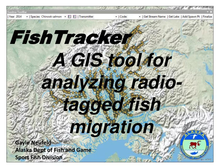
FishT FishTrac acker er A GIS tool for analyzing radio- tagged fish migration
Gayle Neufeld Alaska Dept of Fish and Game Sport Fish Division
analyzing radio- tagged fish migration Gayle Neufeld Alaska Dept - - PowerPoint PPT Presentation
FishT FishTrac acker er A GIS tool for analyzing radio- tagged fish migration Gayle Neufeld Alaska Dept of Fish and Game Sport Fish Division Introduction In 2014, a study was undertaken to estimate, in part, the abundance and spawner
Gayle Neufeld Alaska Dept of Fish and Game Sport Fish Division
were tagged with radio tags.
area
detection
»955 fish tag records »448,449 aerial tracking telemetry records »1,622,709 stationary receiver records
class btnNextNonFinal(object): """Implementation for Tools_addin.btnNextNonFinal (Button)""" def __init__(self): self.enabled = True self.checked = False def onClick(self): mxd = arcpy.mapping.MapDocument('current') df = arcpy.mapping.ListDataFrames(mxd)[0] lyr = arcpy.mapping.ListLayers(mxd, "", df)[0] dasXmitter = 0 lDef = lyr.definitionQuery print lDef if len(lDef) == 0: print "No layerDefn set!" curXmitter = 0 else: curXmitter = lDef.split('=')[1] if (cboSpecies.value == "Chinook salmon"): intSpeciesID = 46 elif (cboSpecies.value == "coho salmon"): intSpeciesID = 48 elif cboSpecies.value == "pink salmon": intSpeciesID = 49 elif cboSpecies.value == "sockeye salmon": intSpeciesID = 50 elif cboSpecies.value == "chum salmon": intSpeciesID = 47 conn = pyodbc.connect(connStr) dbCursor1 = conn.cursor() dbCursor1.execute("{call spGetNextFish( %i, %i, %i, 1 ) }" % ( int(cboYear.value), intSpeciesID, int(curXmitter) ) ) row = dbCursor1.fetchone() if row: print row dasXmitter = row.transmitter dasYear = cboYear.value
tagged fish
year of selected final location were used.
location that minimizes the overall Euclidean distance to the other detections on that specific day.
detections considered equally, once with detections weighted by signal strength.
95% relative precision = 0.2
Distance between calculated median center of all detections and selected final location with all detections.
Median Center Median Center Weighted Feet Miles Feet Miles Mean 3893 0.74 3640 0.69 Std Dev 4732 0.90 4690 0.89 Median 1420 0.27 1196 0.23